Part 3 of 10
Previously: Day 1 Wulkuraka to Toogoolawah
Next: Day 3 Yarraman to Kingaroy
Strava links:
Distance: 77.1
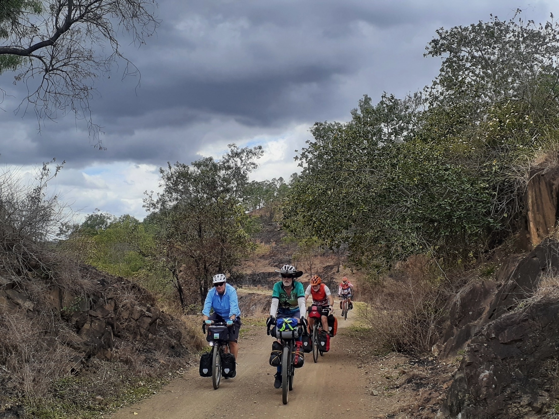
This is one of the signature days on this ride, with the iconic ride from Linville to Blackbutt, the hero section of the BVRT in my view. But that’s still to come, let’s not get ahead of ourselves!
Our day started with breakfast at the Havachat Cafe. You should do that too. Unless you are a diehard “porridge cooked on the metho stove” type of a camper. We had a couple of those in our group. There’s nothing you can say to people who would choose instant porridge ahead of a bacon and egg burger.
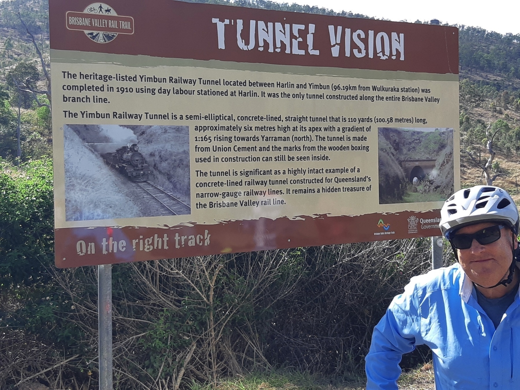
The first highlight of the ride today is the Yimbun Tunnel after 10km. This is the only tunnel on a rail trail in SEQ, so take your time as you approach, take pix, and then ride through. There’s an information panel with the history – of course there are panels and plaques galore along the trail, and I have long agreed with Roman Mars: always read the plaque.
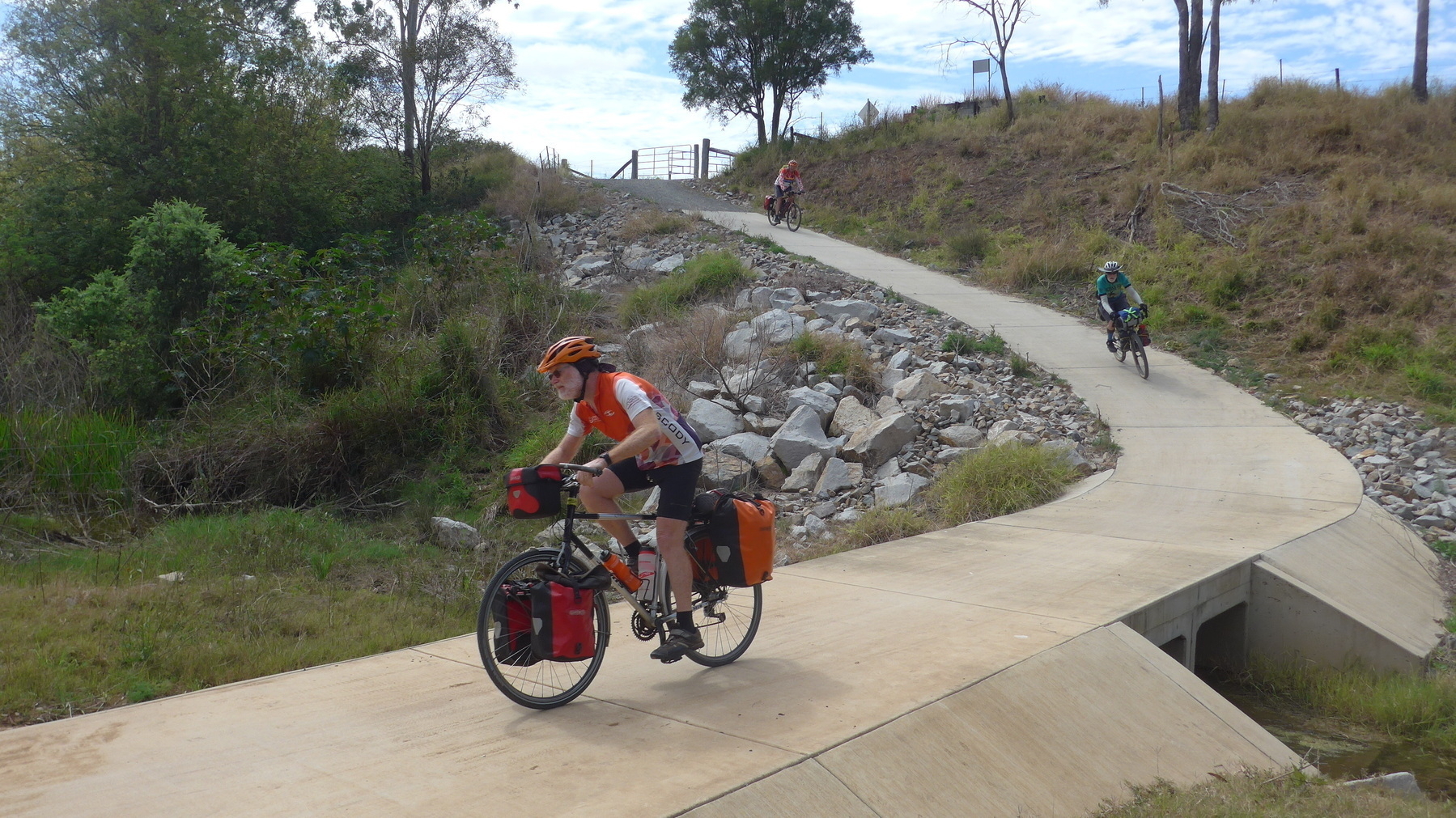
Zoom across Ivory Creek into Harlin, which has a servo and pub, and up a short non-rail-alignment hill to a picnic spot with a view. Then there is a fun little section with a restored bridge and the old rail alignment wedged into the side of a hill, before we cross the D’Aguilar Highway for the first of three times.
Moore is an ideal location for morning tea, with 28km under our wheels. I like Kai Lounge, but other cafes are available. Toilets are in the park across the main road, so be careful of trucks and caravans once the coffee hits you and you need to go.
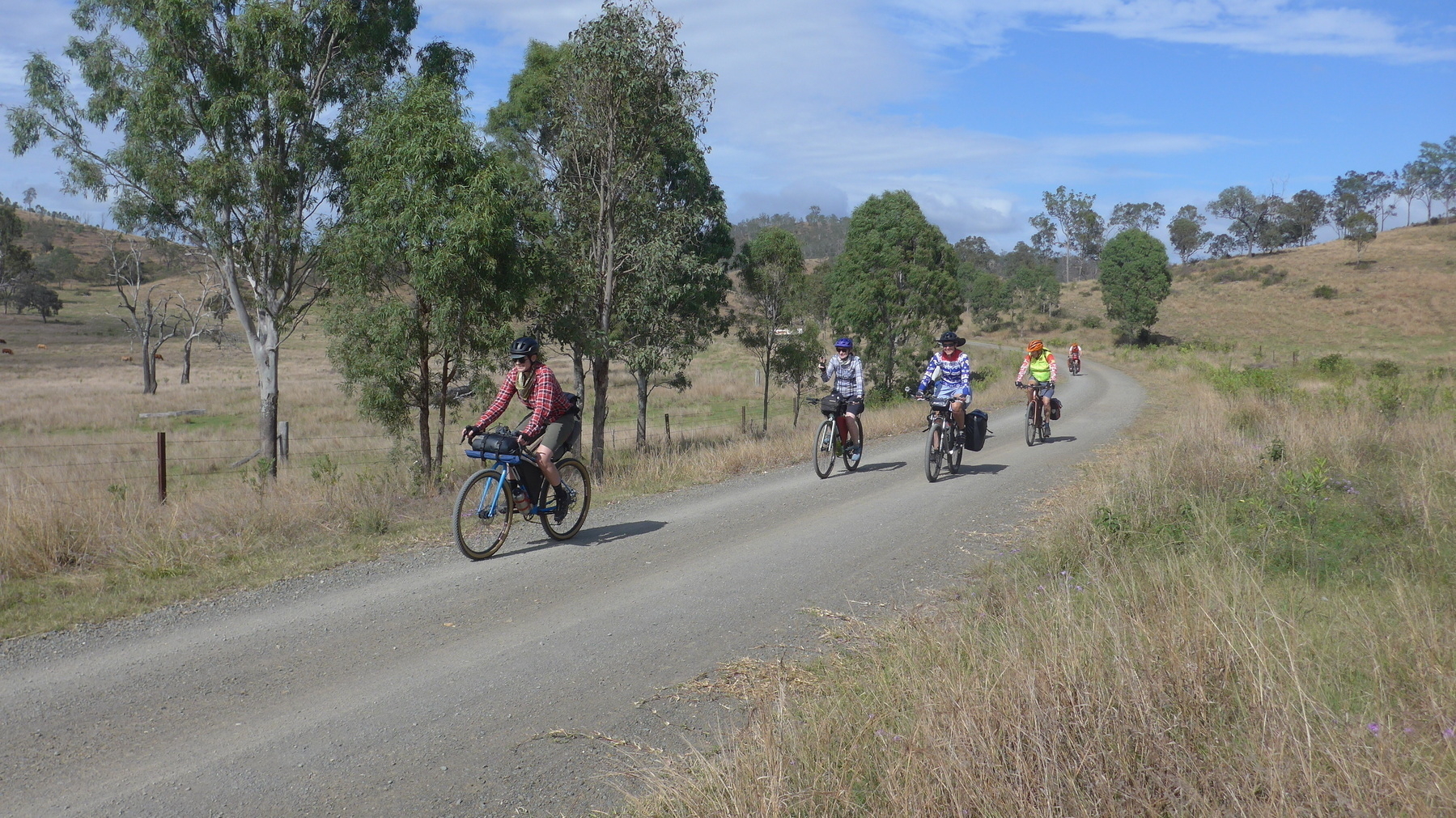
Fully refreshed we roll out of Moore past the magpies towards Linville, and our eventual date with the long long climb up to Benarkin. There are also a couple of little hills on the trail from Moore to Linville, because some sections of the trail here are not on the original rail alignment. But when we are on the original corridor, there is a great view over the upper reaches of the Brisbane River.
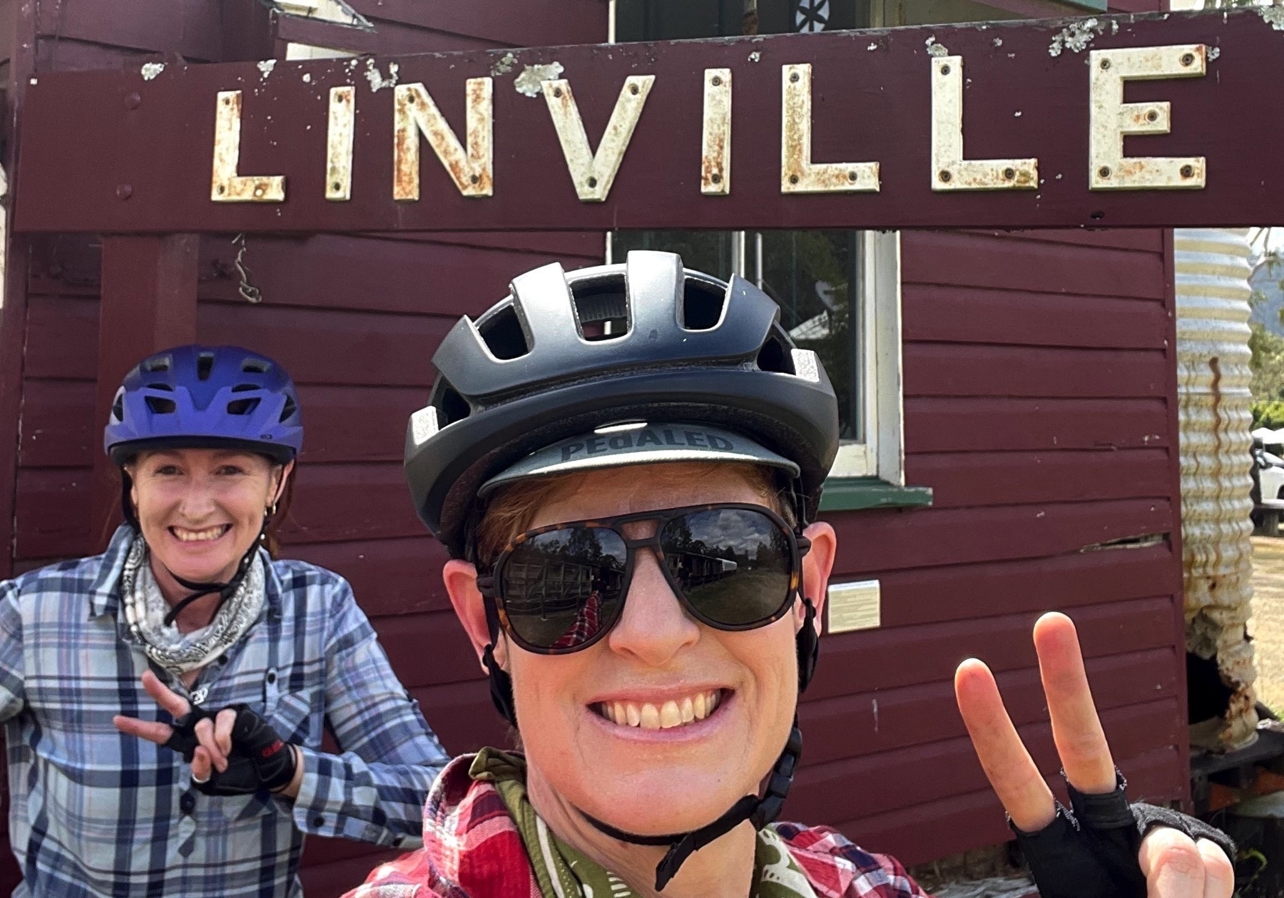
Linville is home to one of the BVRT’s big success stories: the Linville Hotel. It’s changed hands a few times in the last few years, but the current owners have transformed its look and the bike riders and grey nomads have been coming in droves ever since.
We don’t have the time today to hang out at the pub. We have a hill to climb. I may have already mentioned it.
This is the oldest section of the trail. There is an explanatory plaque somewhere along the route which gives some background about Reg McCallum and Kevin Allery, councillors on Nanango Shire Council who saw the vision of turning the disused rail line into something much more wonderful. In 2006 they kicked off the Linville to Blackbutt section, and the rest is history (mind you it did take 12 years to finish the trail). A group sprang up at Moore, the Ambassadors of the Brisbane Valley Rail Trail, and they have been looking after this section ever since.
The trail rises steadily (good old 2%) from Linville, up to McNamara’s Camp, which is a great spot for a rest break. It’s roughly halfway, and marks the point where the open valley ends and we are encased in denser forest for the second half of the rise towards Benarkin.
The second rest stop is called Fettlers Rest. It’s worth a look, for the rail trail art installation. There is also a short walking trail down to a culvert tunnel under the embankment at this location.
Eventually Benarkin (toilets, shop, free camp) hoves into view, and what follows is a gentle run into Blackbutt, with its bakery, cafe, pub and shops.
The Blackbutt Bakery is excellent. The best thing on the menu is everything savoury, followed up by everything sweet. This does sometimes lead to the problem that with 20km still to ride, you might have trouble finishing your sweet treat, but that just means wrapping up something delicious and keeping it for later on. In my case it was a wedge of peanut butter choc brownie – some serious calories!
Blackbutt also has a great low-cost place to stay: the Showgrounds. There are wonderful hot showers and you can camp there for $10.
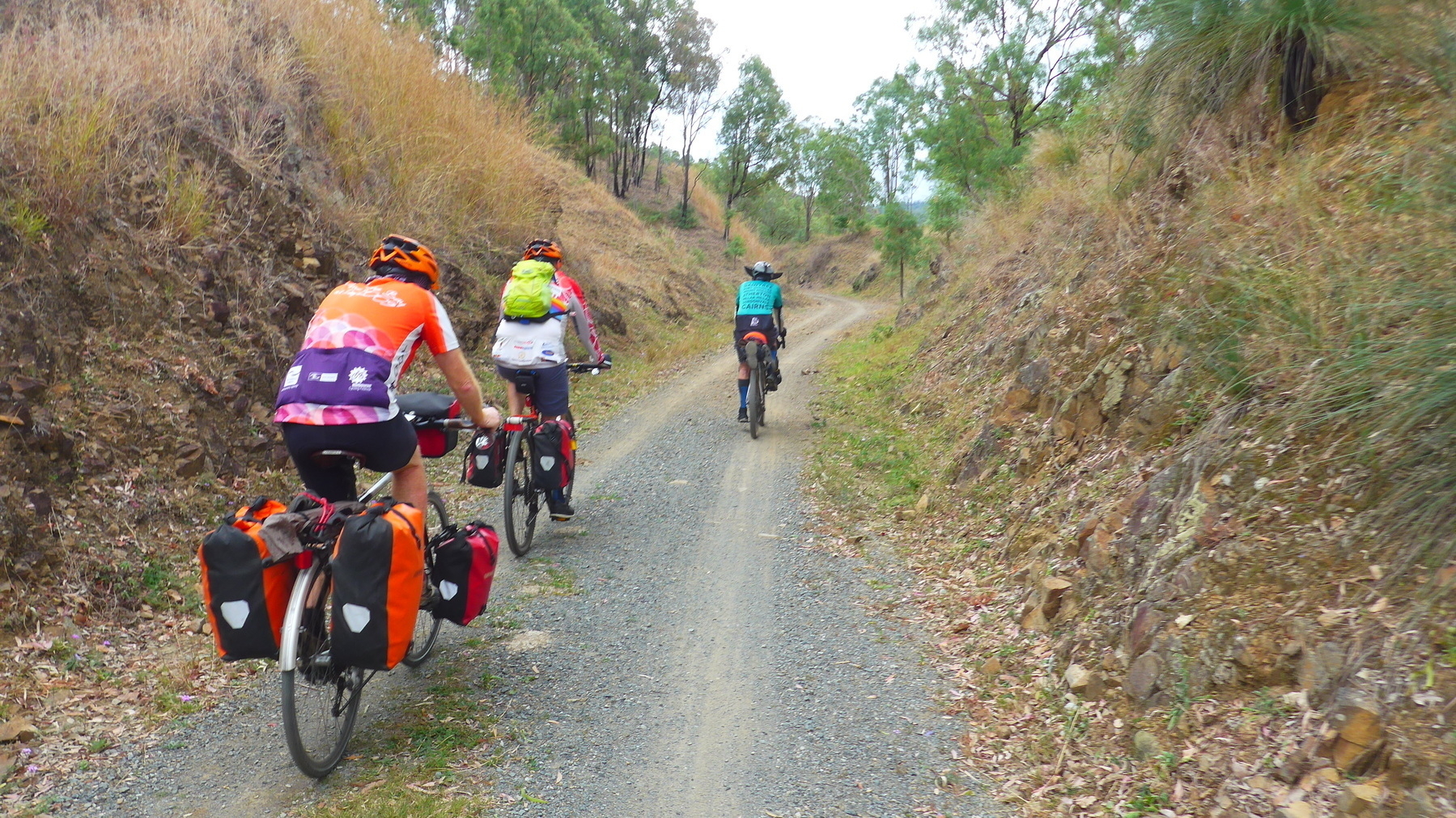
From Blackbutt the trail tends up towards Nukku, and then a long downhill run to Harland Park, and a tricky crossing of Cooyar Creek. This crossing has large sandstone blocks, which a confident and skilled rider on wide tyres will handle easily. But those who are daunted can also jump off and walk across. There’s no advantage in getting a pinch flat, or falling off into the creek if an edge of the stone slab catches your wheel.
If you are riding across the blocks, consider your exit gear. In both directions there is a steep pinch coming out of the creek crossing.
After Cooyar Creek, the trail rises steadily past Pidna siding, with its beautiful stand of grass trees, arriving at the end of the trail at Yarraman Station park. This park is about 2 km from the current centre of Yarraman (pub and cafes and shops) which is on the main road.
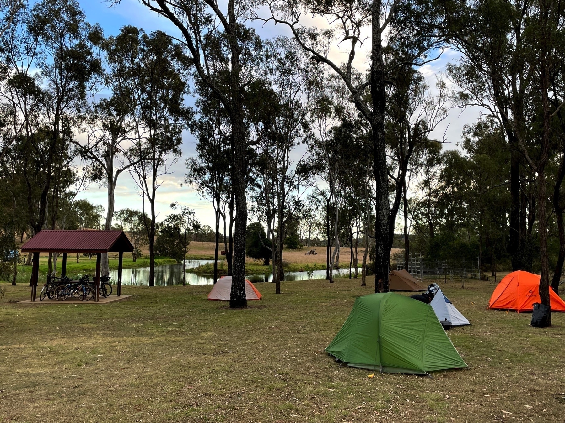
We camped at Yarraman Weir, which is about 1km from the station park, but in the “wrong” direction, i.e. further away from the town centre. So when we headed in for dinner at the Royal Hotel, having lights on our bikes was vital. The Weir campground is free for rail trailers, and it has toilets and water (but only a small tank) and a picnic shelter, but no shower.
Places to stay at Yarraman: