Posts in "Gravel"

GQRTA Day 6 Gayndah to Eidsvold

Part 7 of 10

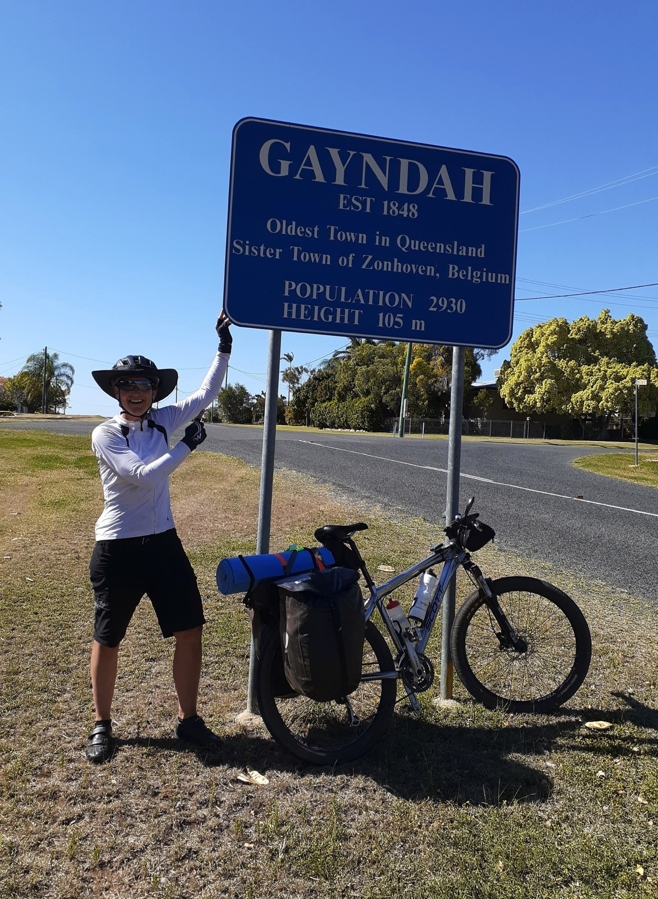
Previously Day 5 Proston to Gayndah

Next: Day 7 Eidsvold to Mungungo

Links

Distance 86 km

Gayndah to Eidsvold was our first day riding on the Boyne Burnett Inland Rail Trail.

The BBIRT is a fascinating mix of Queensland history and current day interpretations of that history.

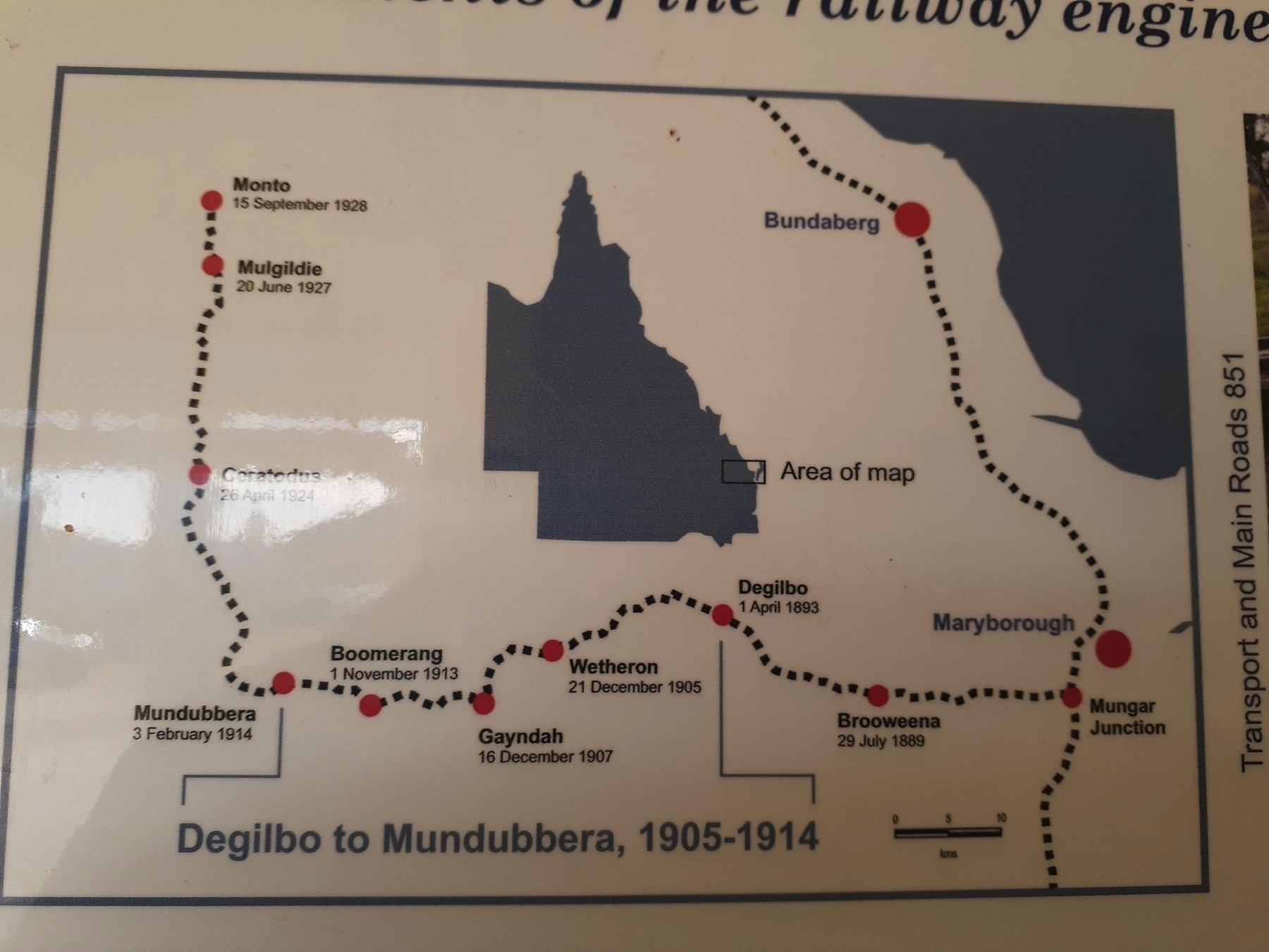
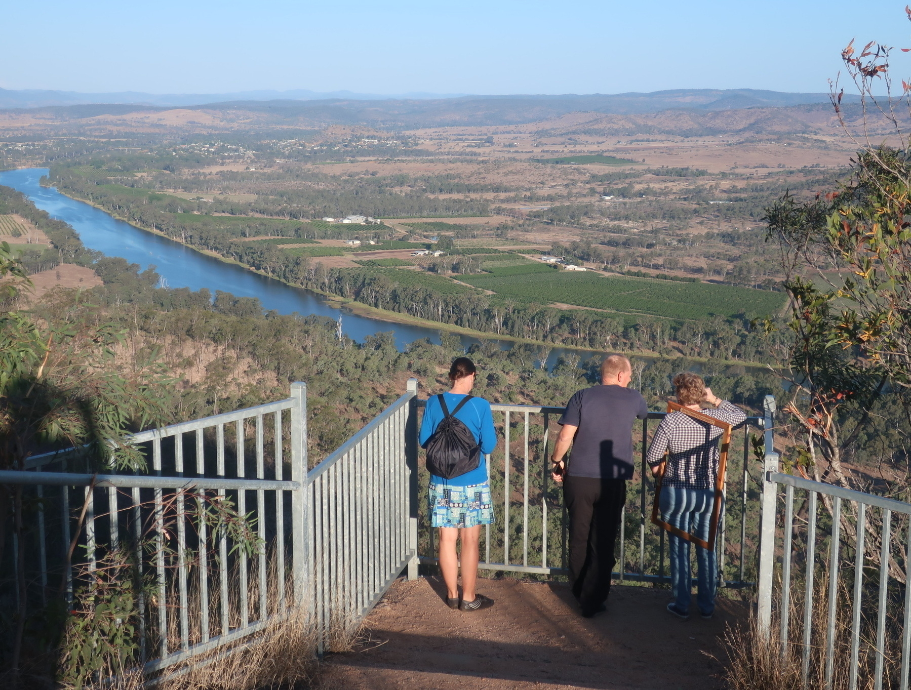
The Gayndah-Monto-Gladstone branch railway scribes a massive 270km arc away from the main coastal railway line through the North Burnett region. It left the main line at Mungar Junction, about 10km south of Maryborough, and rejoined at Byellee, just outside of Gladstone.

Queensland’s railways were mostly built in the 30 year period from 1890 to 1920. Having the railway come to your town was a vital engine of economic growth, and no doubt played a major role in the development of the South and North Burnett regions.

Branch lines all over Queensland declined in usefulness after World War II, and were all closed by about 2000, decades after they had become uncompetitive for both freight and passenger services.

When the railway finally closes, there are often three big ideas about what should happen to the line.

The first is that the line should be preserved just in case there is a need to reopen it to service some mine or other. Or maybe a sugar mill!?

The second is that our branch line would be perfect for a historic railway – a certainty to be a tourist drawcard!

The third idea is turning the rail corridor into a trail for walkers, bike riders and horse riders.

In my view this third option is the only sensible route forward for most disused railway lines. But the pity is that it takes at least 20 years for communities to come to that point of view. In that time many elements of the line can be lost. Bridges get washed away in flood events, maintenance stops and timber bridges especially deteriorate, the line gets leased out to private interests, etc etc.

The Gayndah to Mundubbera section of the BBIRT faces all those challenges.

No trains since the turn of the century means no maintenance for the many bridges.

The line from Mungar to Gayndah has been leased to Isis Sugar, so there’s no prospect of the rail trail back towards Biggenden. The floods over the last 10 years damaged the Reid Creek bridge (the first one out of Gayndah towards Mundubbera) and the Burnett River bridge between Wetheron and Gayndah (also in the off-limits Isis-leased section).

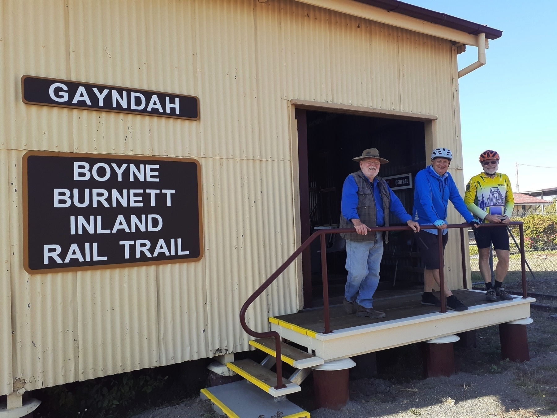
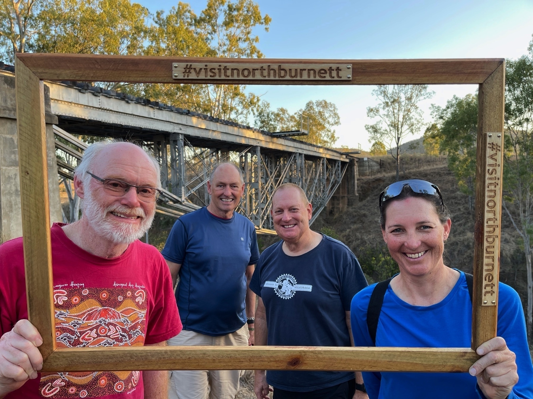
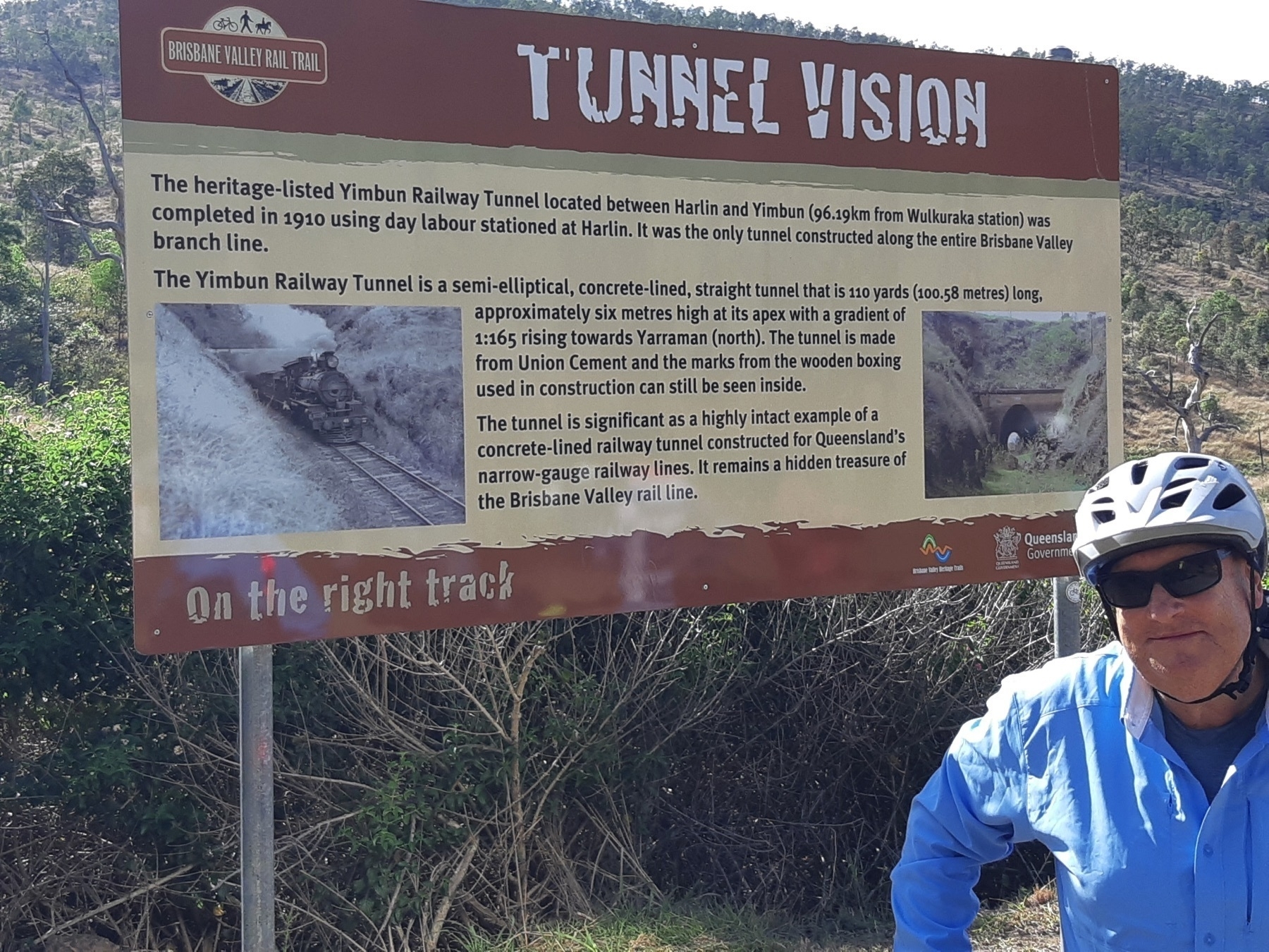
Into this context comes our hero Mike Goebel, and his small team working on the Mt Debateable to Humphrey section of the BBIRT. With Reids Creek bridge washed away, the most reasonable way to access the trail is by riding out on the Gayndah-Mundubbera Road, and turning off at Mt Debateable Rd to cross the Burnett River.

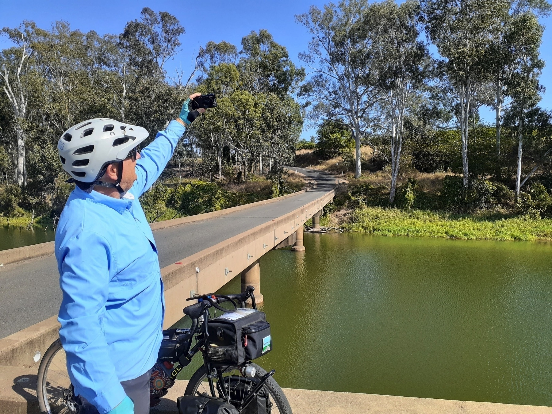
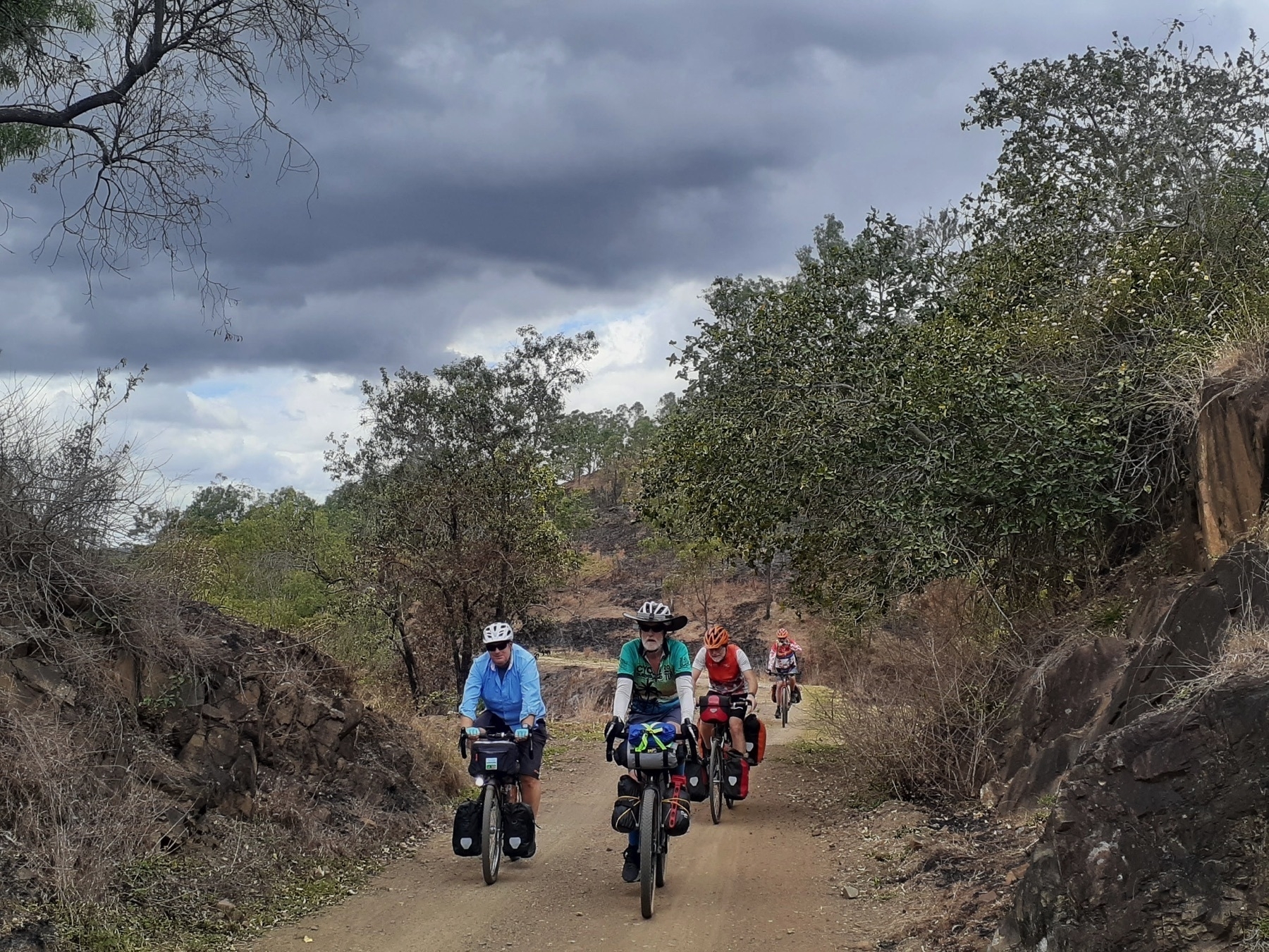
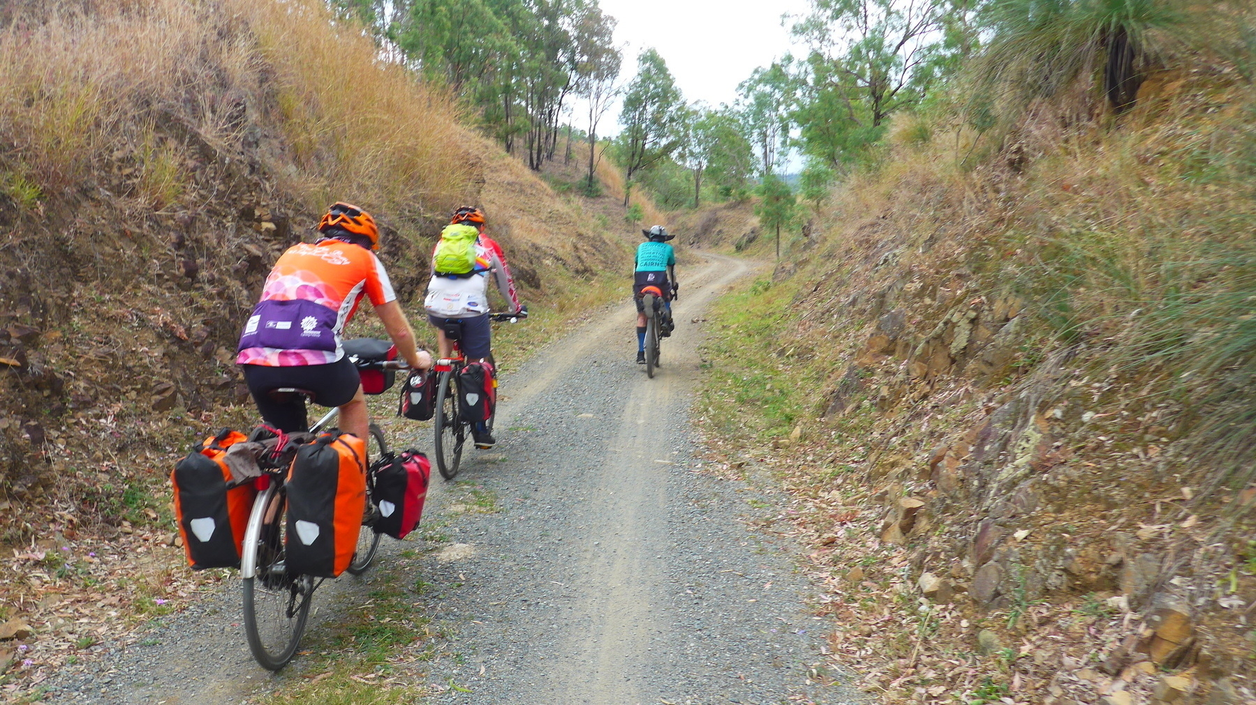
From there we could access the rail trail at Mt Debateable siding, and follow on the trail as far as the Humphrey siding. Then its Boomerang Rd alongside the Burnett River, looking up the gullies at the wondrous bridges (4,5,6,7) that are such a feature of this section. Read more on the history of these bridges here.

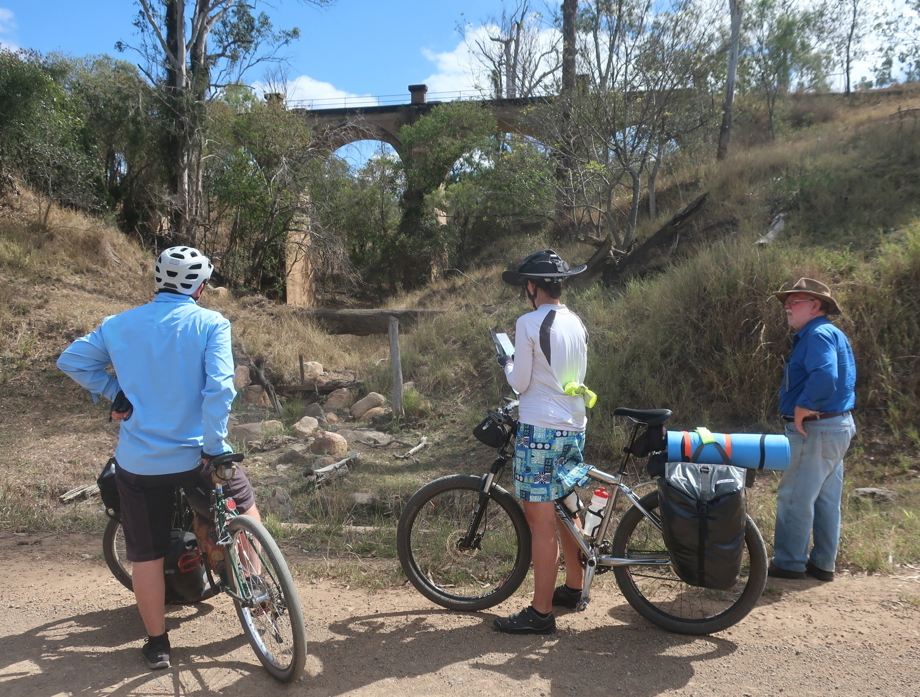
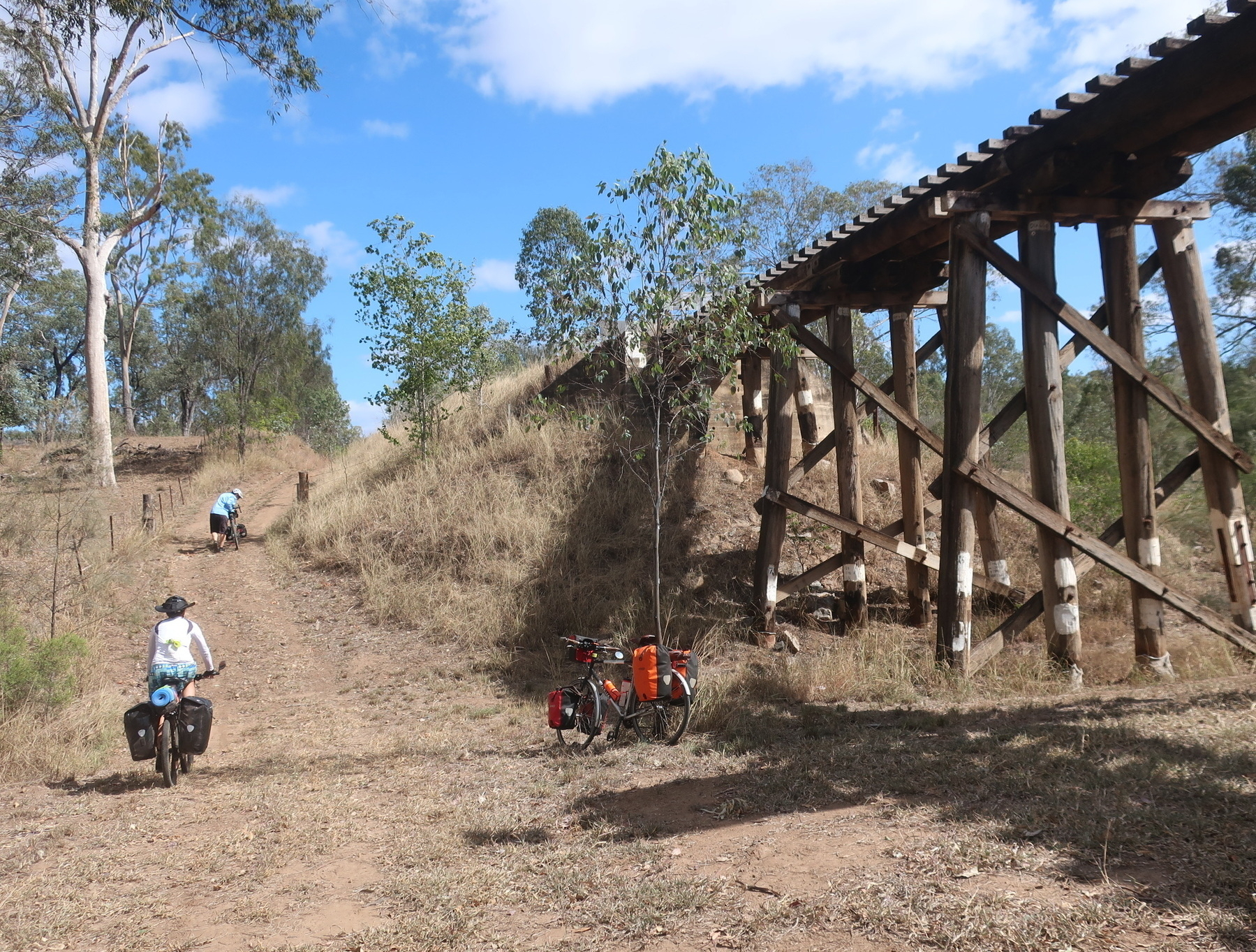
For me one very cool aspect of the bridges is their variation. There are concrete arches, and steel lattice trusses, and even one called the “upside down” bridge.

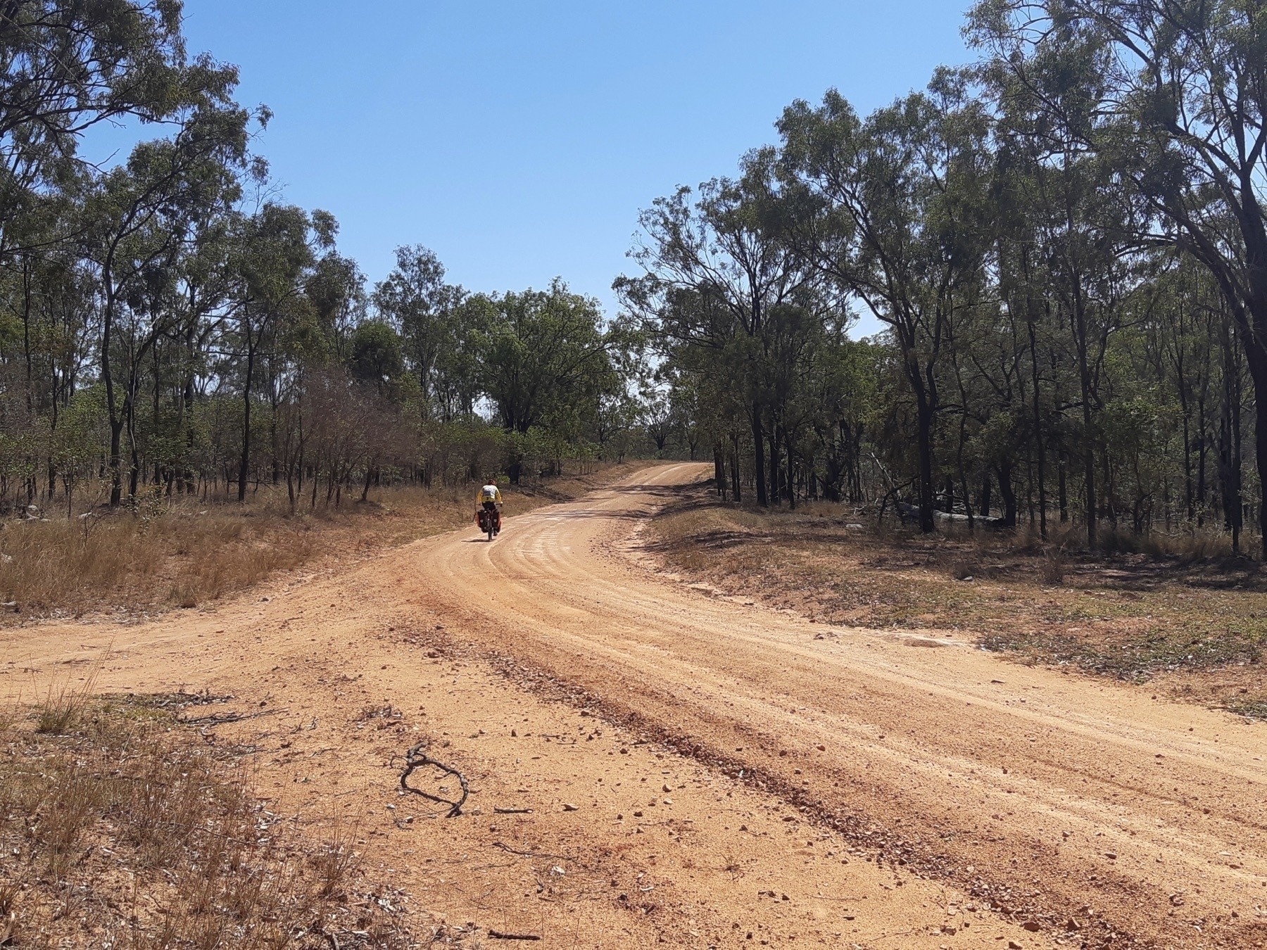
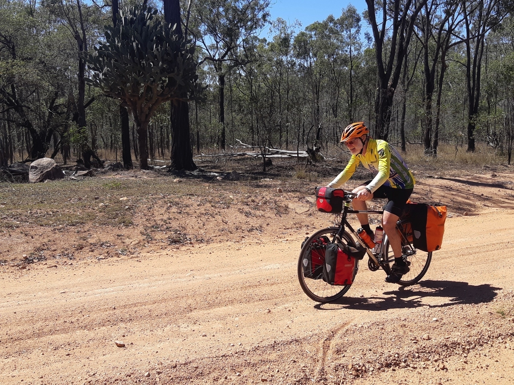
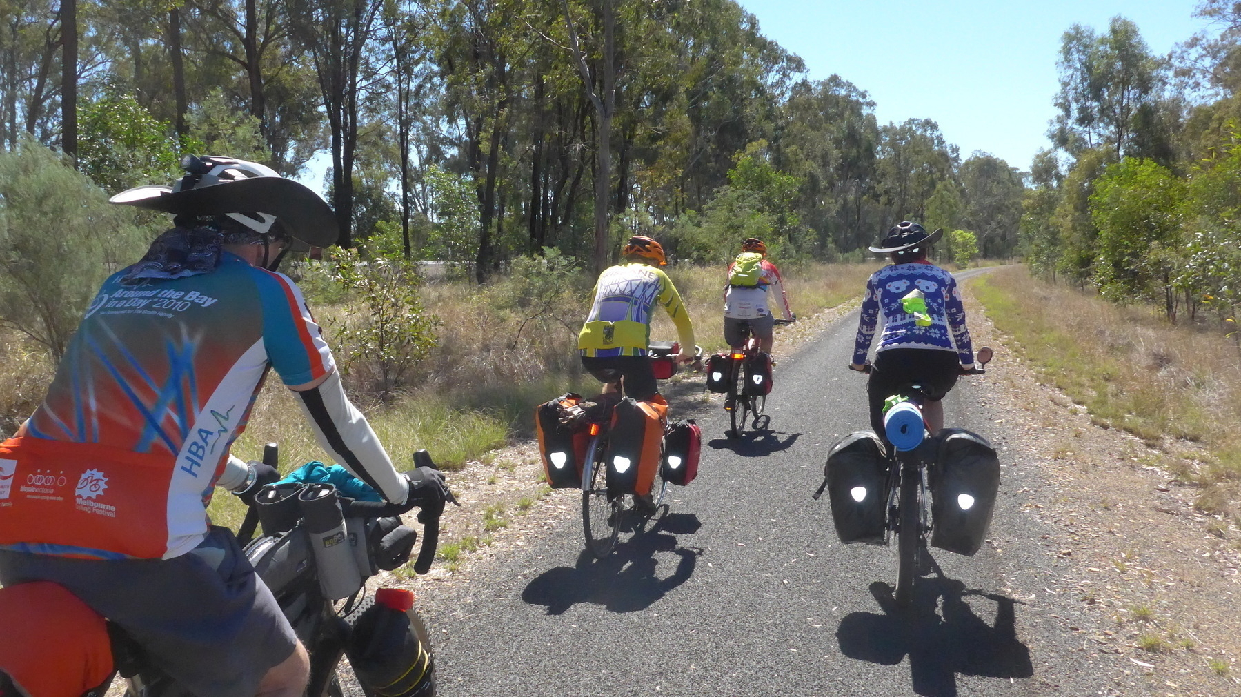
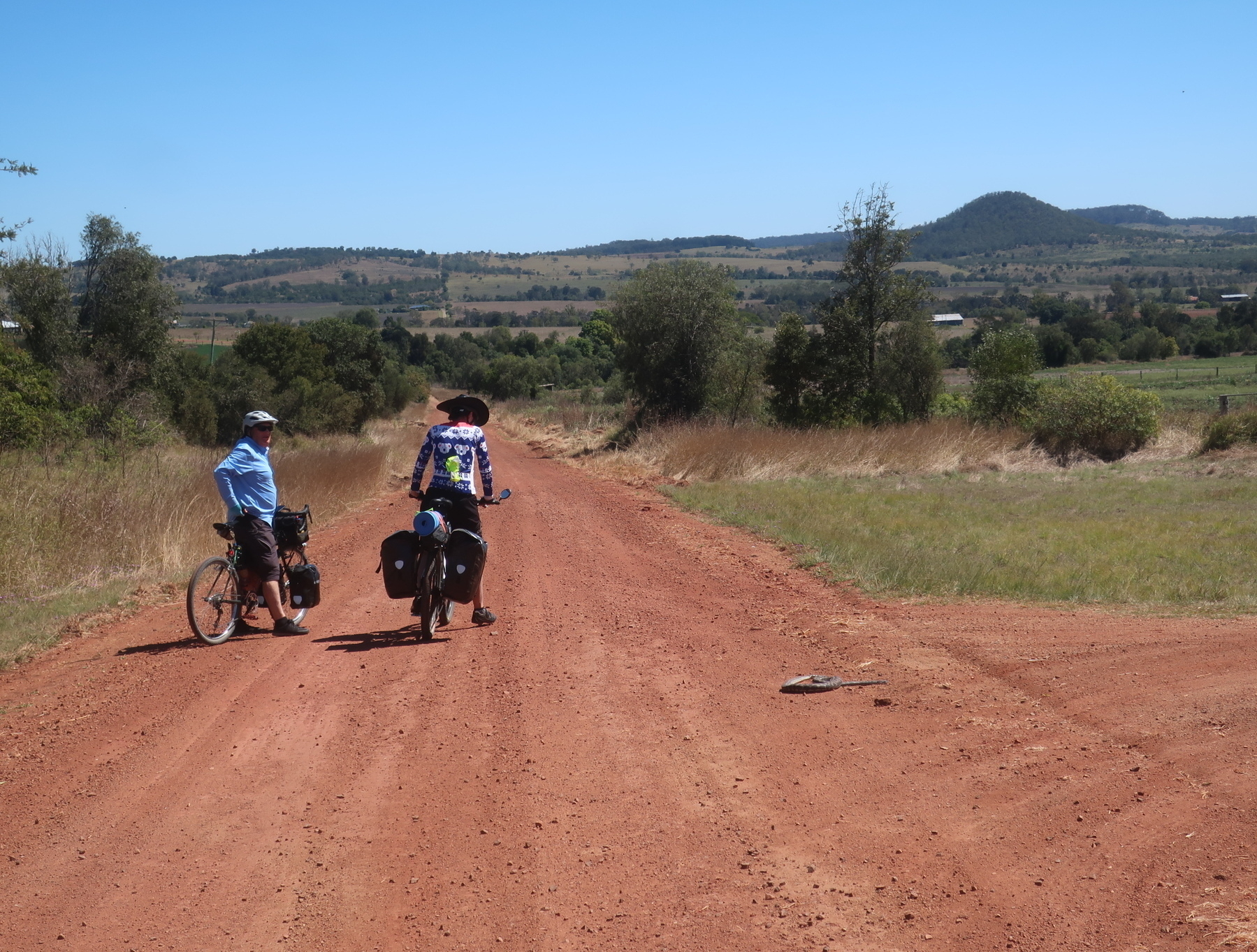
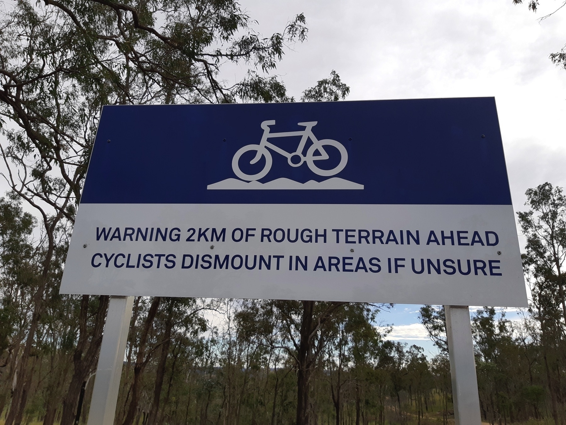
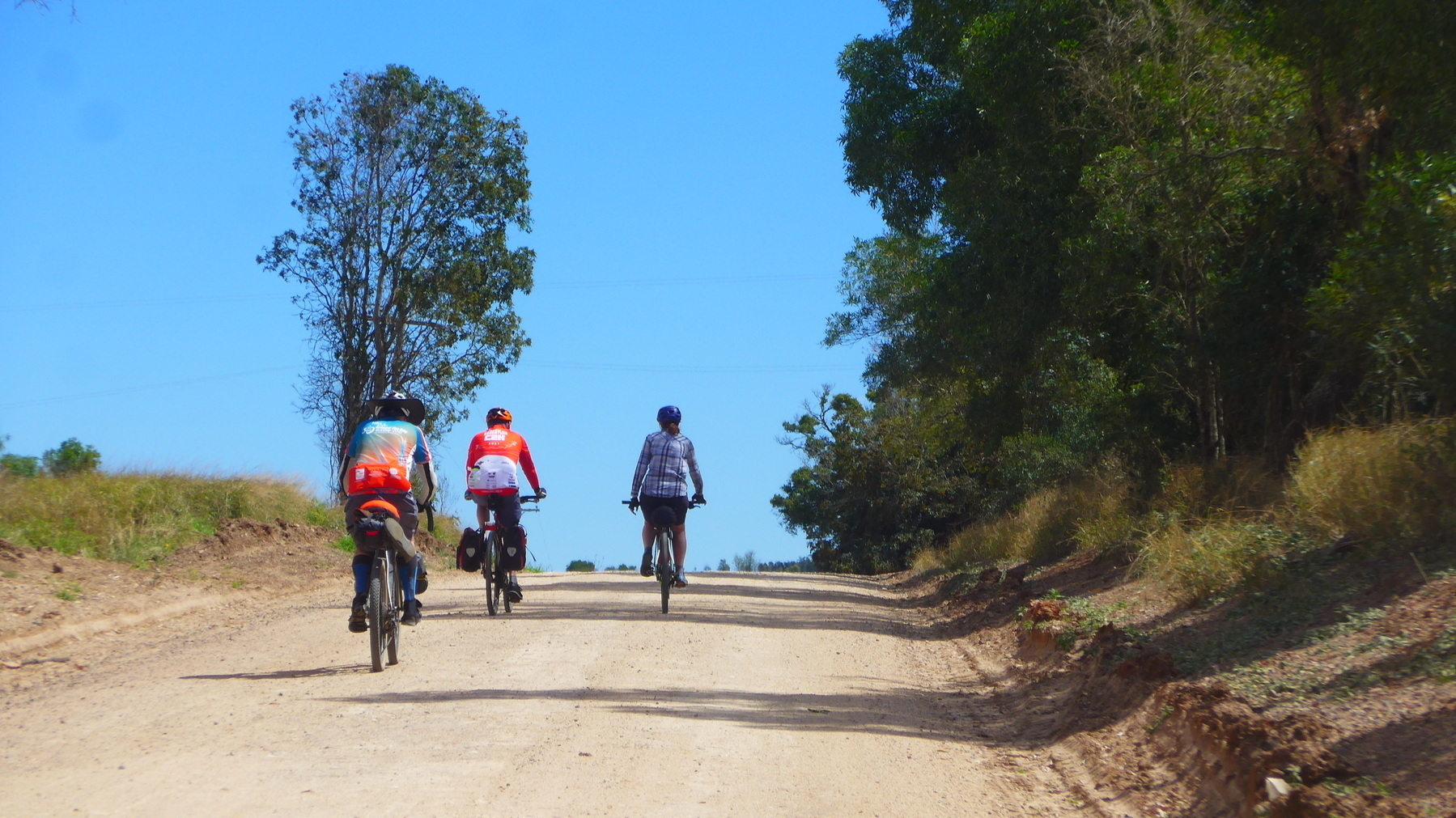
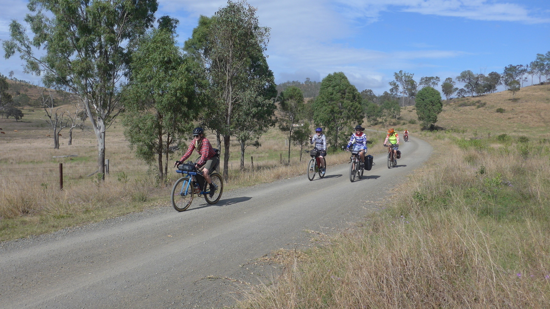
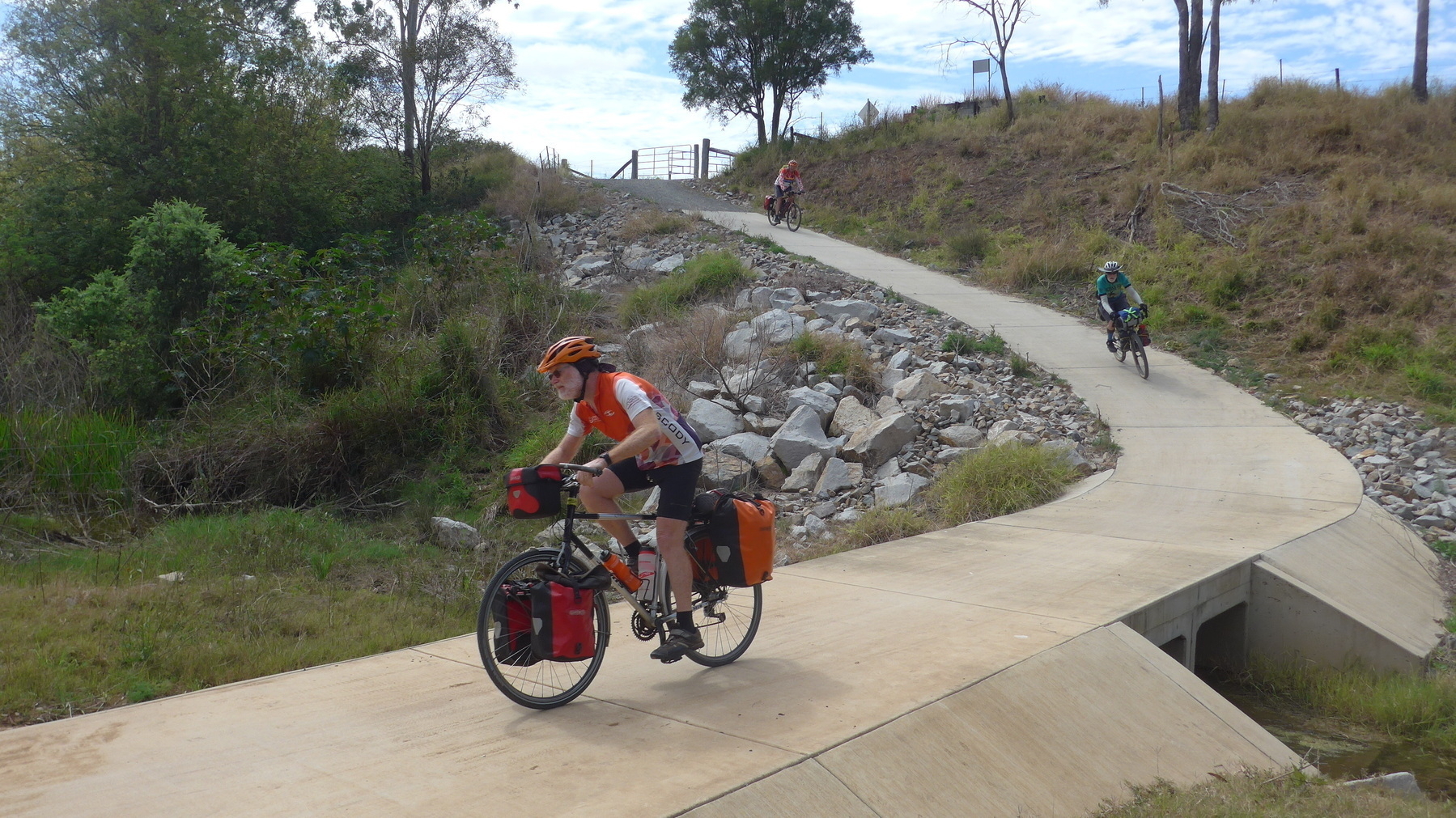
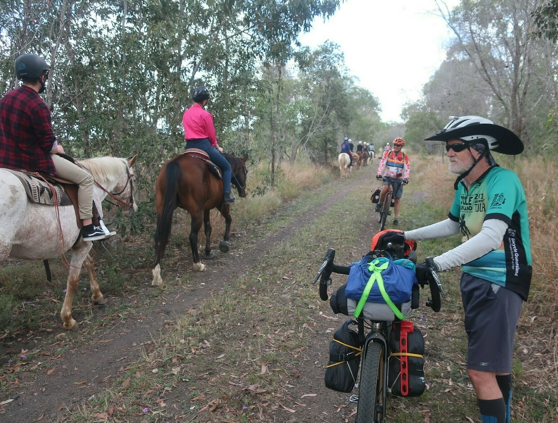
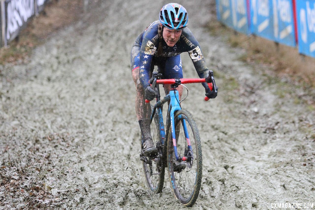
The surface of the trail throughout these sections is what we might call “unimproved”. Some sections are a little bit rocky, some have substantial patches of sand that rob you of your momentum.

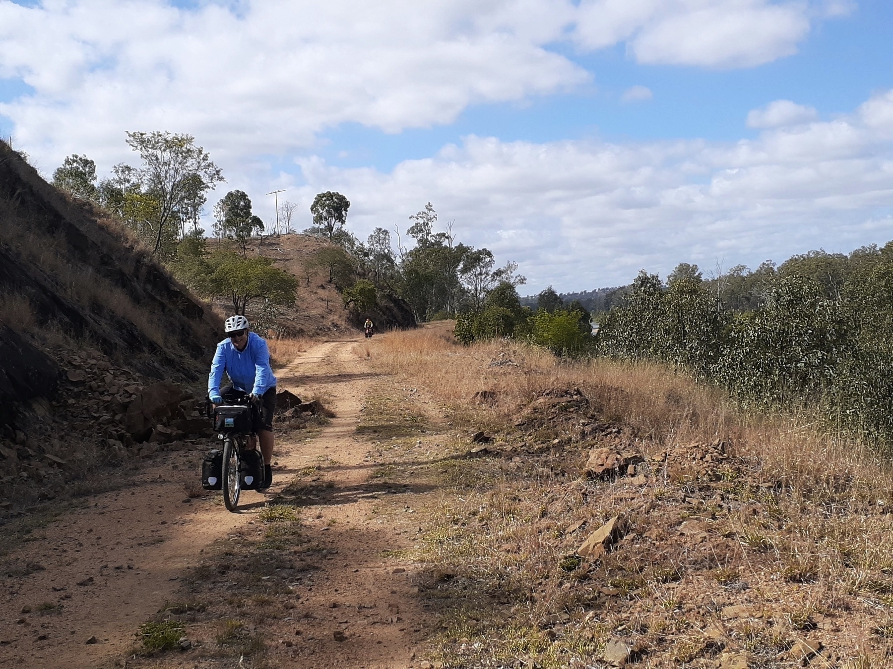
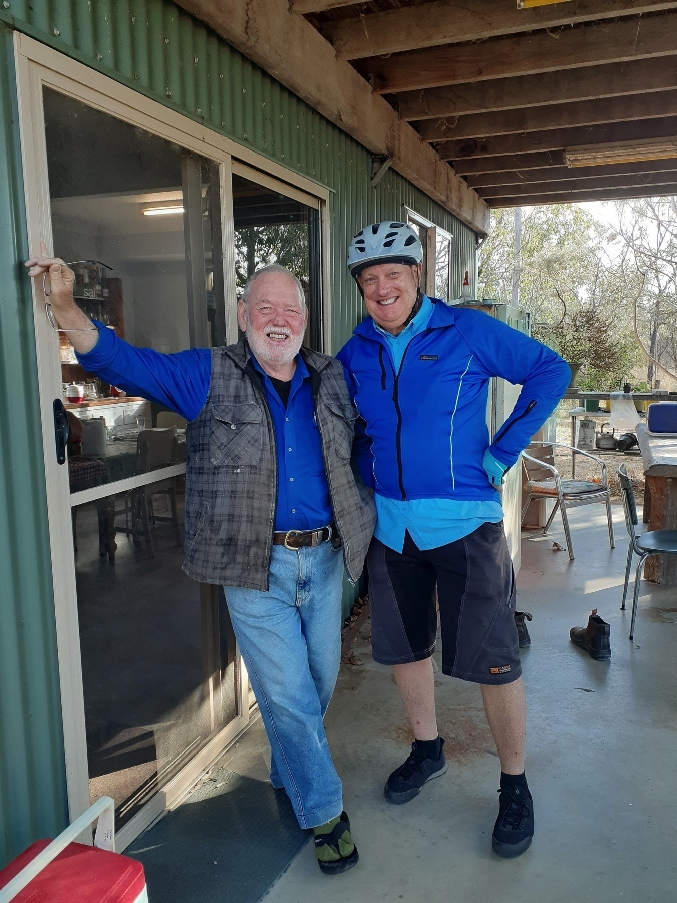
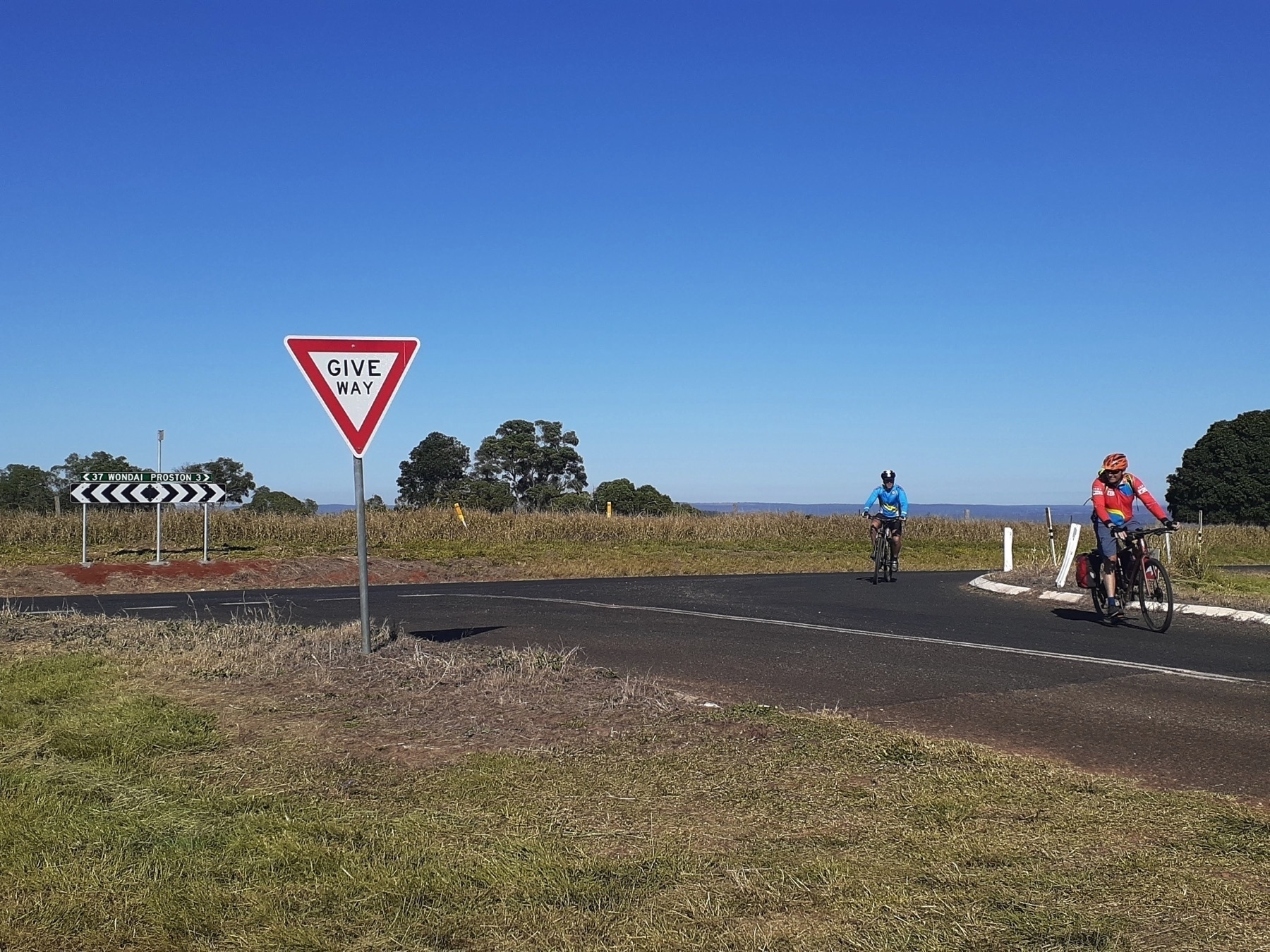
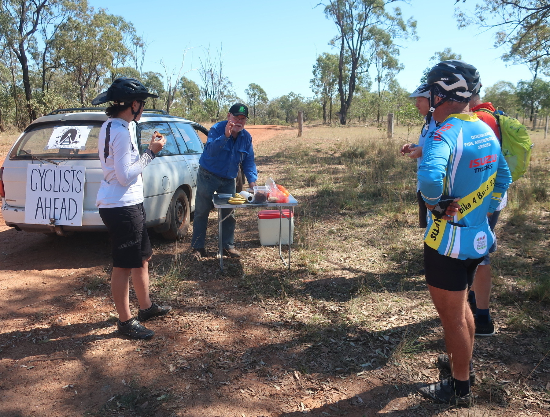
By the time we made it to Mundubbera for lunch (Mike arranged for us to meet the councillor for that town as well) it was well past 2pm and our average speed for the day was under 10km/h. With the temperatures above 30 deg C and some uncertainty about our route for the next stage, we just rode the Burnett Highway to Eidsvold. The traffic was not a problem and our group (by now a trio as Brett had decided to return home after the ride into Gayndah) rolled into town with about 45 minutes of daylight to spare.

We stayed at the Eidsvold Caravan Park. As the BBIRT has not officially come to Eidsvold yet, I get the feeling that touring bike riders are not as common as on the BVRT or KKRT.

The Corner Motel Cafe is the best spot for dinner in Eidsvold. It might also be the only spot as the pub wasn’t serving evening meals when we were there.

The Corner cafe was so good we came back for breakfast the next day!

Where to stay in Eidsvold:

Next: Day 7 Eidsvold to Mungungo.

GQRTA Day 5 Proston to Gayndah

Part 6 of 10

Previous: Day 4 Kingaroy to Proston

Next Day 6 Gayndah to Eidsvold

Links

Distance 75.9

If Day 5 was transitional from rail trails into the unknown, Day 6 is totally off-piste.

When the idea for the Great Queensland Rail Trail Adventure started forming in my head around June 2020, the biggest question was: “What is the best route to link the KKRT and the BBIRT?”

I asked Mike Goebel (the co-ordinator for the Gayndah to Mundubbera section of BBIRT) what he thought. I had a look at maps. I wondered if the spur line from Murgon to Hivesville and Proston would ever become a rail trail (at present this seems only a distant possibility). Some further investigation made it clear to me that Proston was a much better overnight prospect than Hivesville. This was borne out in real life.

But the big unknown was the ride from Proston to Gayndah. 76 km, most of it on dirt road, with no towns, no services, no toilets, not water, not even a picnic shelter on the side of the road.

I was concerned enough about the Proston to Gayndah ride that I found a way of carrying 4 litres of water on my bike. Even in September you can get very hot days anywhere in Queensland. I had a bad experience once running out of water while bikepacking from Imbil to Jimna on a sweltering day in mid-October. Not keen to repeat that experience.

So today’s ride was a little leap into the unknown. But fortunately we also had a local to ride with us. Peter, a BQ member who lives on a property just out of Gayndah, arranged for a friend to drop him off in Proston so he could ride with us.

We stocked up at the Proston IGA with food and water and set off.

The ride started with a testing 3km climb on the bitumen road back towards Hivesville. We turned onto Proston-Abbeywood Rd which (nice surprise) was sealed for another 7km.

And although after that the surface was back to gravel, it was a well maintained dirt road. And gravity was in our favour. The climb out of Proston had taken us to 500 m above sea level, and we were aiming for Gayndah, 110 metres above sea level. So more down than up is always a good day, provided there aren’t too many lumps and bumps along the way.

We rolled along merrily until our next nice surprise: the appearance of Mike Goebel, our Gayndah contact, in his rail-trail-supporting station wagon. Mike always comes bearing the local produce, so it was mandarins for morning tea.

We stopped at creekside locations for food and rest breaks, but really this day had no major dramas. It’s not a very easy day on the bike, because 50 km of unpaved road is never that easy. But it was no harder than other days on this route, and scenic in forestry and cattle grazing kind of way.

There are a couple of gradual climbs on the way into Gayndah, which we negotiated by steady pedalling, and we arrived in the early afternoon.

There are pubs and motels and caravan parks in Gayndah, but Mike Goebel is a very hospitable man, and most of our group accepted his offer of camping at ‘Cafe Michel’ (his house).

Mike’s connections with the Gayndah community also came for the fore, as the Councillor for Gayndah division of the North Burnett Regional Council appeared at Mike’s place to whisk us away for a quick tour of the sights.

The most impressive of these is the view over the Burnett River from the top of Mt Gayndah. I would not want to ride my bike up the access road to that lookout, but the view is awesome. Probably the best way for bike tourists to see this is to ingratiate yourself with Cr Dael Giddins, who is a lovely outgoing person who is always keen to show off the town.

Where to stay in Gayndah

There is another caravan park, and three pubs. None of them have websites, which makes me think they’re not that interested in having people stay. Brett from our group stayed at the Riverview Caravan Park and said it was OK.

Next: Day 6 Gayndah to Eidsvold

GQRTA Day 4 Kingaroy to Proston

Part 5 of 10

Previously: Day 3 Yarraman to Kingaroy

Next: Day 5 Proston to Gayndah

Links

Distance 72.4 km.

Today’s ride in the Great Queensland Rail Trail Adventure is a transitional day and it is very much in two parts.

The first part is the last section of “completed” rail trail on this trip, riding the South Burnett section of the Kilkivan to Kingaroy Rail Trail.

The KKRT itself is a tale in two parts, but for the purposes of this route, we will only touch on the southern section, which is that rarest of creatures, a sealed bitumen rail trail. Truly the Northern Hairy-Nosed Wombat of rail trails in Queensland. We rode from Kingaroy to Wondai all on the tar, and it continues as far as Murgon, another 13km away. Check out Gillian and Mark’s book for all the gory details on the KKRT.

Kingaroy is 425 metres above sea level and Wondai is 310 metres. So the combination of rail trail gradients (gentle), bitumen (pretty darn smooth, especially for those of us on 48 mm tyres), and losing 115 metres of elevation all made for a pretty easy ride.

We climbed gently as we left Kingaroy, up to Crawford, Memerambi, and the highest point of today’s ride at Wooroolin. There’s a free campsite on the trail at Wooroolin, and another down at Wondai.

At Wooroolin there’s a Grand Hotel, and a cafe which was once a butcher’s shop. I’ve eaten at the Butcher’s Cafe before and it was very passable.

This time we just took a couple of photos at the old station, and kept on rolling. Wondai was our destination for early lunch, and this time it was also our moment to farewell Ian, who was returning to Brisbane for family reasons.

So after some delicious rice paper rolls at the Wondai Bakery, we left the rail trail behind and launched into the unknown.

Our route from Wondai to Proston followed back roads with a mixture of sealed and good gravel for 16km until we popped out on Wondai-Proston Rd, which isn’t any sort of highway, but is the road which trucks visiting Hivesville and Proston would use.

The traffic wasn’t a problem to us. The hills, maybe a little bit more. One long climb got us to Gordon Buchanan Lookout, which would not make my list of top 100 lookouts visited. But it was a pleasant place to stop and regroup.

It was a warm afternoon as our quartet rolled into Hivesville, where the servo is new and well-stocked. Belinda was threatening to buy a whole box of ice blocks.

As we consumed our refreshments, a group of off-road touring motor-bikers (KTMs and the like) rolled in for refuelling. They were heading towards Mount Perry, apparently that’s a good place to go on your motorcycle. (It used to host a wonderful mountain bike race about 10-12 years ago, but that’s another story altogether).

From Hivesville to Proston is only 11km, but it is hill country, and every road is lumpy. Our route took us off the bitumen at Kinleymore, and along Middle Road, which climbed for 4km. Just what we wanted in the hottest part of the day.

However, I have to say that it was all worth it when we arrived in Proston. We were charmed by the vibe of the main street, with the Golden Spurs pub and the Jacaranda Tearooms, and the Proston public library.

We were fortunate to be there on a week day, so after booking in at the pub and getting cleaned up, we wandered over to the tearooms for coffee and cake, and then visited the library for a dose of local history.

The main street of Proston has had an injection of community spirit from the local councillor for South Burnett, Kathy Duff. It is a fantastic story of a town which is surely struggling through drought and the rural downturn, yet seems full of resilient people who just keep on showing up.

As I was glancing through a self-published history of Proston, I did spy a picture of a much younger Kathy Duff, with 1980s big hair and puffy sleeves, representing the district in some sort of talent quest. It was a different time.

The other highlight of our time in Proston was dinner at the Golden Spurs Hotel.

Possibly against our better judgment, Brett and I both ordered the Pad Thai. Because I love pad thai, and who is to say that pad thai in Brisbane is better or more authentic or more whatever than pad thai from a pub in rural Queensland.

It was the best pad thai I have ever had. That is not an exaggeration. Silky noodles, crunchy bean sprouts, large perfectly cooked prawns, much chicken and tofu and lemony garlicky flavours with the requisite sprinkle of crushed roasted peanuts. Our dining companions – Rob especially – were salivating with envy.

Places to stay in Proston:

Next: GQRTA Day 5 Proston to Gayndah.

GQRTA Day 3 Yarraman to Kingaroy

Part 4 of 10

Previously: Day 2 Toogoolawah to Yarraman

Next: Day 4 Kingaroy to Proston

Links to data:

Distance: 52.9km

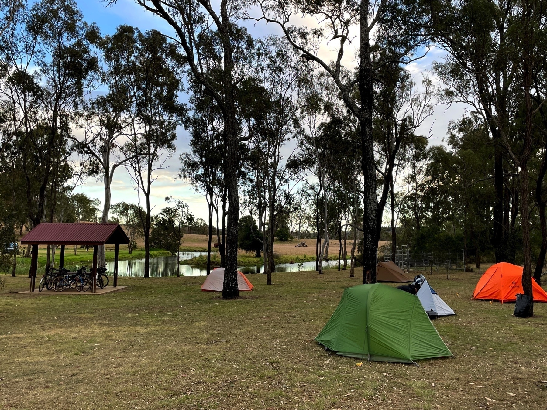
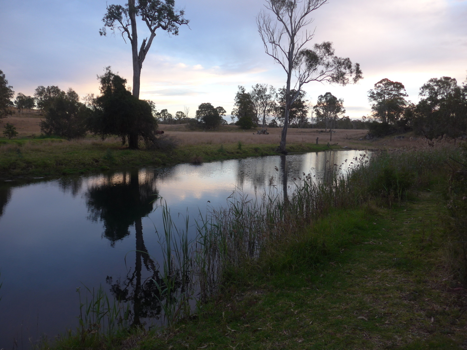
*Peaceful morning scene at Yarraman Weir.*

The route today is controversial. Not VERY controversial. Not “pineapple on pizza” levels of controversy. But there are many opinions about the “best” route from Yarraman to Kingaroy.

When the Kilkivan to Kingaroy Rail Trail opened in 2016, straightaway there were people who wanted to connect up the KKRT and the BVRT for a longer multi-day ride (I was one of those people).

Gillian Duncan and Mark Roberts who publish the wonderful book ‘Where To Mountain Bike in South-East Queensland’, also have a book on the two rail trails. They discuss the Link trail options on pages 18 and 19 of that book.

The real reason for the signed Link Trail is to make sure that touring riders go through Nanango. Retired dentist David Kenny mapped out the route in 2019 and was successful in getting a small grant from Heritage Bank to pay for the signs. David wanted to make sure that the route went through Nanango, as there were other routes being published that went via Tarong State Forest and bypassed Nanango altogether.

Well, I like Nanango as a town, so there was no way I was going to bypass it. And added to that was the fact that we weren’t heading back into Yarraman for breakfast, as the Link Trail heads east past our overnight spot at Yarraman Weir before turning north on Din Din Road, a.k.a. the old stock route.

The stock route is pretty good fun. Refer to other notes about what sort of bike is best for this type of ride, but certainly those on bigger tyres had more fun on this section. The sign at either end of the rough part of the route gives adequate warning, and a gentle challenge (“cyclists dismount in areas if unsure”). I sure didn’t dismount. And I didn’t have to get off and push either.

We arrived in Nanango in time for morning tea or brunch, depending on your appetite status. We were fortunate enough to catch up with the aforementioned David Kenny, who while we sipped our coffees gave us an overview of the gravel riding routes around the area.

I will certainly be returning to Nanango, probably as part of a three-day ride including the NAN 1, 2 and 3 gravel loops, and a return to Linville via the upper reaches of the Brisbane River.

But on this occasion we headed north from Nanango for 5km on the Burnett Highway, before turning off on Booie Rd.

I had ridden the signed Link from Nanango to Kingaroy about two years previous, and wanted to try a different route. My memory of the Link was of big hill after big hill and I wondered if the alternate route I had mapped out might be flatter.

Reader, I was wrong. My route to the north of the D’Aguilar Highway was plenty hilly, made much worse by a navigational error I made soon after we turned onto Booie Rd. (We continued straight ahead on Smith Rd instead of staying on Booie Rd by turning right).

So if you compare and contrast the routes I have linked above, I would suggest that the RideWithGPS route is worth trying, and the Strava ride (which we did) is not. It did have a screaming smooth dirt road downhill on Reagon Rd which gave up 100 metres of hard-won elevation in about a minute and a half. But that’s not good.

We made it to Kingaroy for a late-ish lunch at the Glendon Street Cafe, and rolled out to the Kingaroy Showgrounds, which is a good place to camp. We had called ahead to let them know we were a group of bike riders, so the spot we were allocated was away from the caravans and RVs, and close to our own amenities block, which also included a power box to charge our electronics.

We said goodbye to Emma and Fiona, who had booked the services of Out There Cycling to get back to where they had parked their van. David and Josie are doing a great job, it’s the easiest way to organise point to point rides on the BVRT/KKRT.

Kingaroy is a large town with plenty of hotel and motel accommodation, even some AirBnBs. But if you are camping, the Showgrounds is a clear winner.

We dined at the Kingaroy RSL, where the sticky date pudding was a veritable island in a sea of butterscotch sauce. What more could you ask?

Kingaroy is well known for cool nights and mornings … it is nearly the same elevation as Yarraman and Blackbutt, about 450 metres above sea level. One of our group, who found herself a little under-insulated at Yarraman, had no trouble finding some extra warmth in the shops available at Kingaroy.

Next: Day 4: Kingaroy to Proston

GQRTA Day 2 Toogoolawah to Yarraman

Part 3 of 10

Previously: Day 1 Wulkuraka to Toogoolawah

Next: Day 3 Yarraman to Kingaroy

Strava links:

Distance: 77.1

This is one of the signature days on this ride, with the iconic ride from Linville to Blackbutt, the hero section of the BVRT in my view. But that’s still to come, let’s not get ahead of ourselves!

Our day started with breakfast at the Havachat Cafe. You should do that too. Unless you are a diehard “porridge cooked on the metho stove” type of a camper. We had a couple of those in our group. There’s nothing you can say to people who would choose instant porridge ahead of a bacon and egg burger.

The first highlight of the ride today is the Yimbun Tunnel after 10km. This is the only tunnel on a rail trail in SEQ, so take your time as you approach, take pix, and then ride through. There’s an information panel with the history – of course there are panels and plaques galore along the trail, and I have long agreed with Roman Mars: always read the plaque.

Zoom across Ivory Creek into Harlin, which has a servo and pub, and up a short non-rail-alignment hill to a picnic spot with a view. Then there is a fun little section with a restored bridge and the old rail alignment wedged into the side of a hill, before we cross the D’Aguilar Highway for the first of three times.

Moore is an ideal location for morning tea, with 28km under our wheels. I like Kai Lounge, but other cafes are available. Toilets are in the park across the main road, so be careful of trucks and caravans once the coffee hits you and you need to go.

Fully refreshed we roll out of Moore past the magpies towards Linville, and our eventual date with the long long climb up to Benarkin. There are also a couple of little hills on the trail from Moore to Linville, because some sections of the trail here are not on the original rail alignment. But when we are on the original corridor, there is a great view over the upper reaches of the Brisbane River.

Linville is home to one of the BVRT’s big success stories: the Linville Hotel. It’s changed hands a few times in the last few years, but the current owners have transformed its look and the bike riders and grey nomads have been coming in droves ever since.

We don’t have the time today to hang out at the pub. We have a hill to climb. I may have already mentioned it.

This is the oldest section of the trail. There is an explanatory plaque somewhere along the route which gives some background about Reg McCallum and Kevin Allery, councillors on Nanango Shire Council who saw the vision of turning the disused rail line into something much more wonderful. In 2006 they kicked off the Linville to Blackbutt section, and the rest is history (mind you it did take 12 years to finish the trail). A group sprang up at Moore, the Ambassadors of the Brisbane Valley Rail Trail, and they have been looking after this section ever since.

The trail rises steadily (good old 2%) from Linville, up to McNamara’s Camp, which is a great spot for a rest break. It’s roughly halfway, and marks the point where the open valley ends and we are encased in denser forest for the second half of the rise towards Benarkin.

The second rest stop is called Fettlers Rest. It’s worth a look, for the rail trail art installation. There is also a short walking trail down to a culvert tunnel under the embankment at this location.

Eventually Benarkin (toilets, shop, free camp) hoves into view, and what follows is a gentle run into Blackbutt, with its bakery, cafe, pub and shops.

The Blackbutt Bakery is excellent. The best thing on the menu is everything savoury, followed up by everything sweet. This does sometimes lead to the problem that with 20km still to ride, you might have trouble finishing your sweet treat, but that just means wrapping up something delicious and keeping it for later on. In my case it was a wedge of peanut butter choc brownie – some serious calories!

Blackbutt also has a great low-cost place to stay: the Showgrounds. There are wonderful hot showers and you can camp there for $10.

From Blackbutt the trail tends up towards Nukku, and then a long downhill run to Harland Park, and a tricky crossing of Cooyar Creek. This crossing has large sandstone blocks, which a confident and skilled rider on wide tyres will handle easily. But those who are daunted can also jump off and walk across. There’s no advantage in getting a pinch flat, or falling off into the creek if an edge of the stone slab catches your wheel.

If you are riding across the blocks, consider your exit gear. In both directions there is a steep pinch coming out of the creek crossing.

After Cooyar Creek, the trail rises steadily past Pidna siding, with its beautiful stand of grass trees, arriving at the end of the trail at Yarraman Station park. This park is about 2 km from the current centre of Yarraman (pub and cafes and shops) which is on the main road.

We camped at Yarraman Weir, which is about 1km from the station park, but in the “wrong” direction, i.e. further away from the town centre. So when we headed in for dinner at the Royal Hotel, having lights on our bikes was vital. The Weir campground is free for rail trailers, and it has toilets and water (but only a small tank) and a picnic shelter, but no shower.

Places to stay at Yarraman:

Next: Day 3 Yarraman to Kingaroy

GQRTA Day 1 Wulkuraka to Toogoolawah

Part 2 of 10

Previously: Overview

Next: Day 2 Toogoolawah to Yarraman

Strava links for this post:

Distance: 86.8km.

The ride starts from Wulkuraka Station, and rolls along a concrete bike path for the first 5km through suburban Ipswich. Once we pass under the Warrego Highway we get onto the dirt and start to get into the rhythms of the Brisbane Valley Rail Trail.

The BVRT has become much busier in the past few years, and you will certainly encounter bike riders travelling in both directions. Further along the trail you may also encounter riders on horses. Both walkers and horse riders have right of way over bike riders, so be nice and share the trail!

Fernvale is the first opportunity for a coffee or a snack, after 22km. But before you get there, take care as you cross the Brisbane Valley Highway at Lloyds Road after 14km. The crossing of Fairney Brook on a concrete causeway is a little treat about 4km later.

No shortage of food and drink outlets in bustling Fernvale. Once again, be careful crossing the Brisbane Valley Highway … even in town the cars, trucks and motorcycles roar past with great enthusiasm.

I like and recommend the Tree Change Cafe (corner of Banks Creek Rd and the highway).

Back on the trail for one of the original sections of the BVRT, Fernvale to Lowood, which undulates gently alongside Forest Hill Fernvale Rd for most of its 9km. Lowood also has cafes multiple and bakery singular, and quite a lovely garden beside the trail as you head off past the golf course.

Cross Clarendon Rd and marvel/wince at the “bicycle fence”.

Lockyer Creek bridge is another chance for a photo, this time for a beautifully restored rail bridge. More like this please!

The run into Coominya from here is straight and imperceptibly uphill. Good thing there’s a shop and a pub at Coominya if you need them.

The next 15km up to Mount Hallen are mostly uphill, on that steady railway 2% gradient.

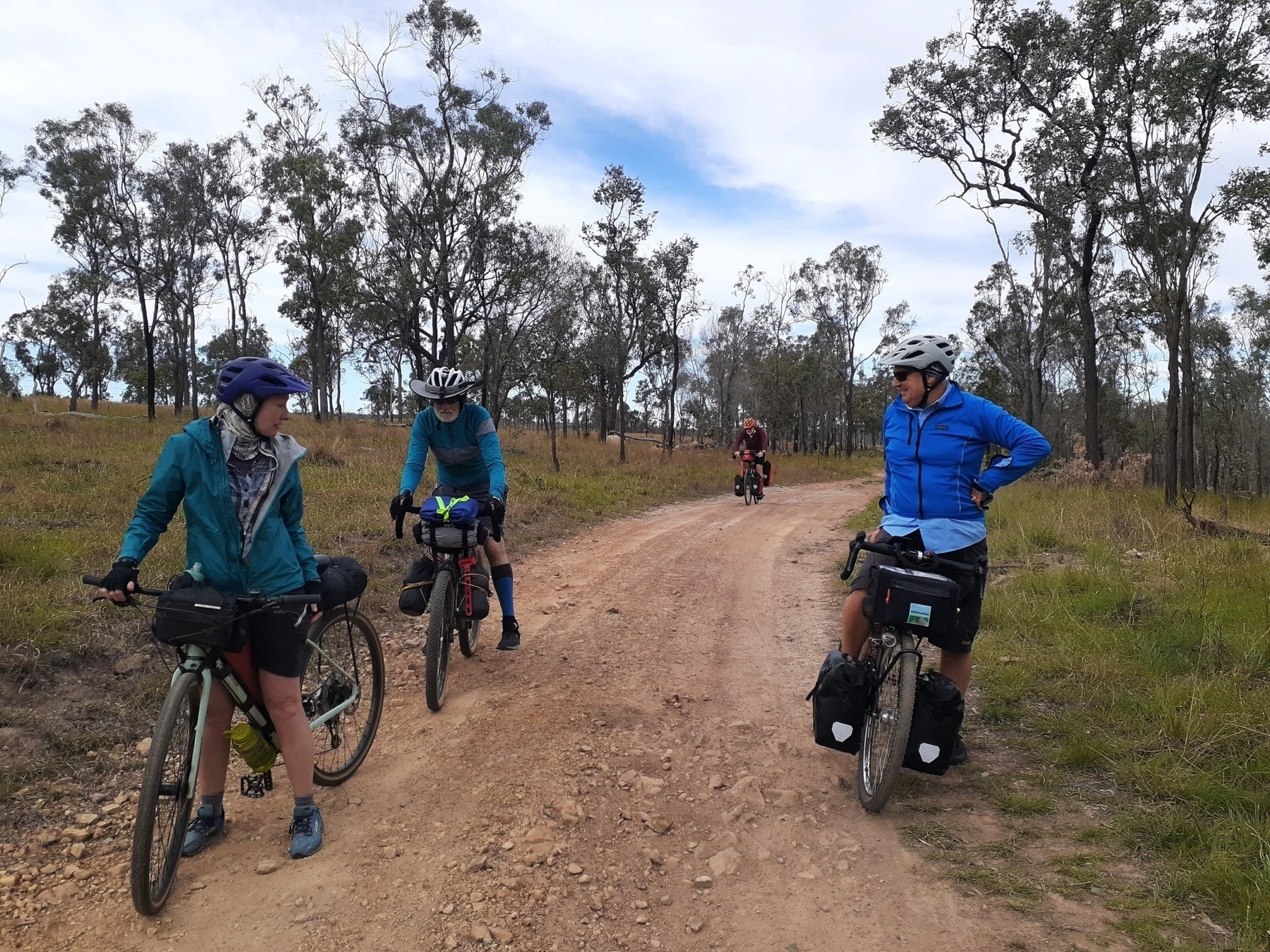
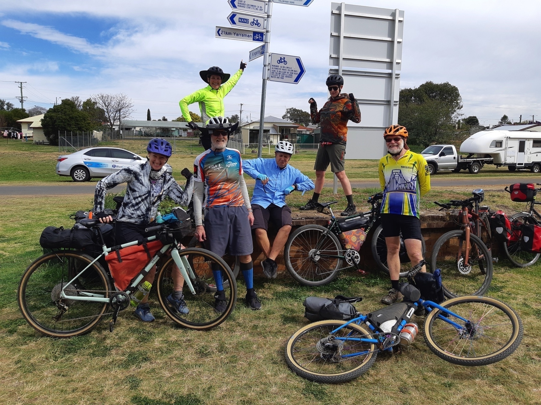
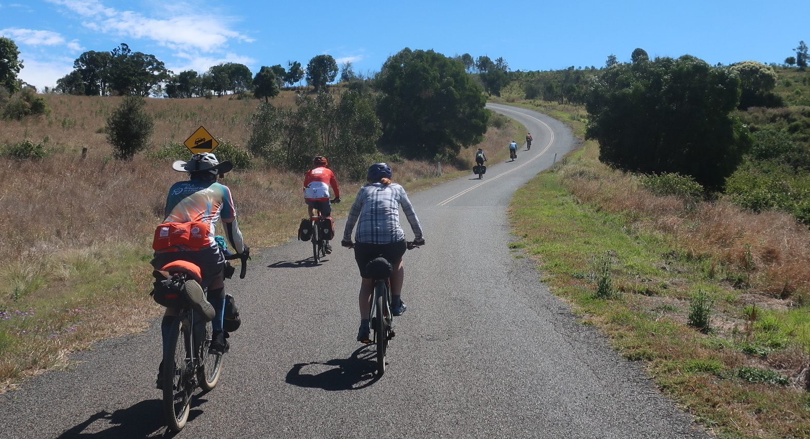
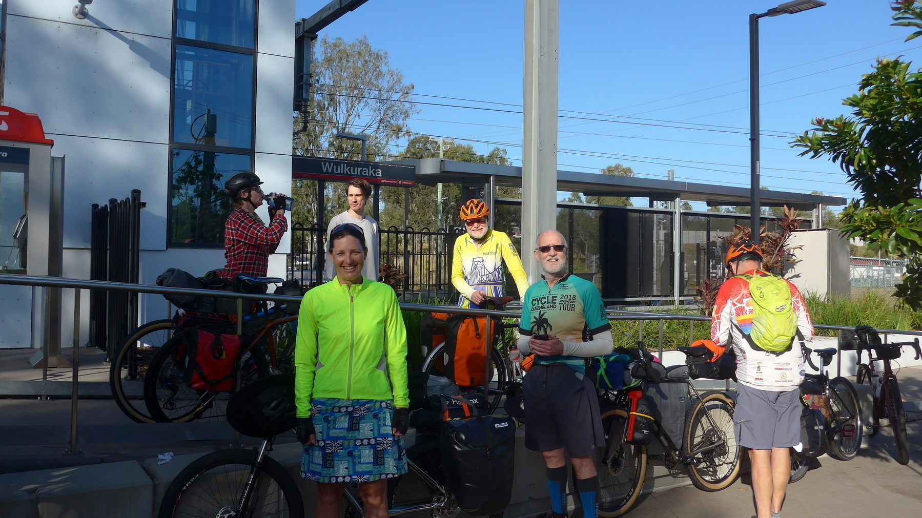
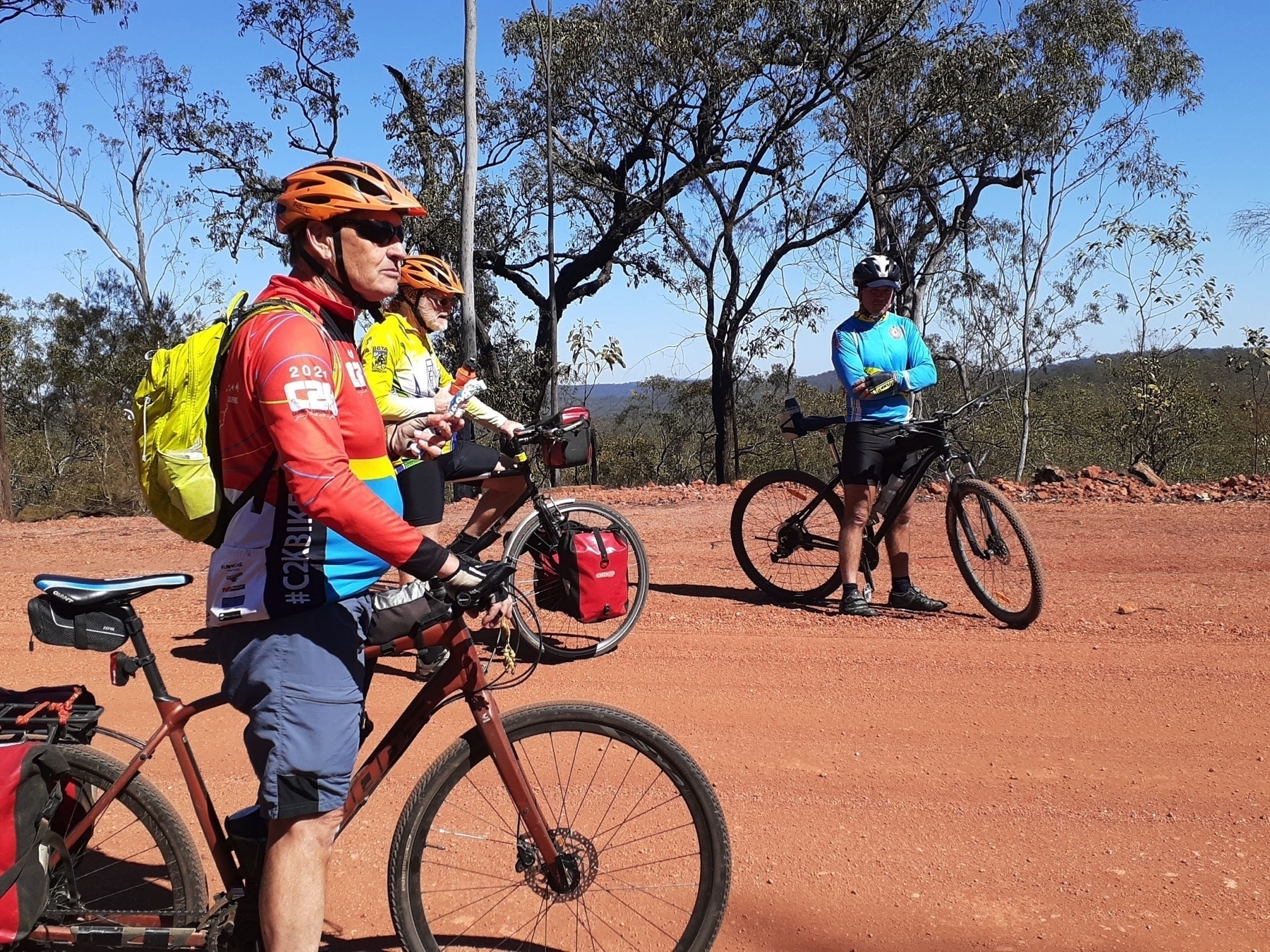
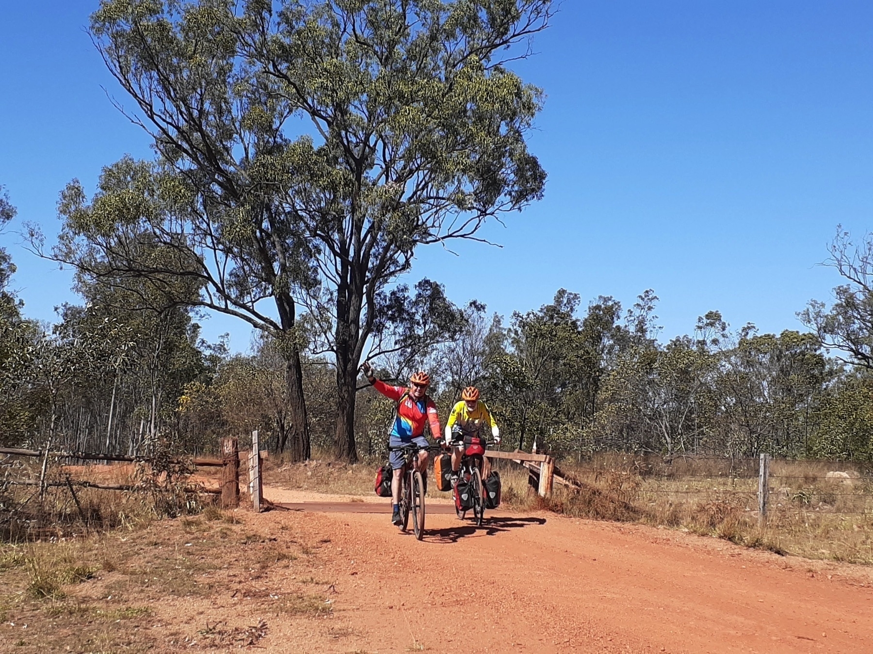
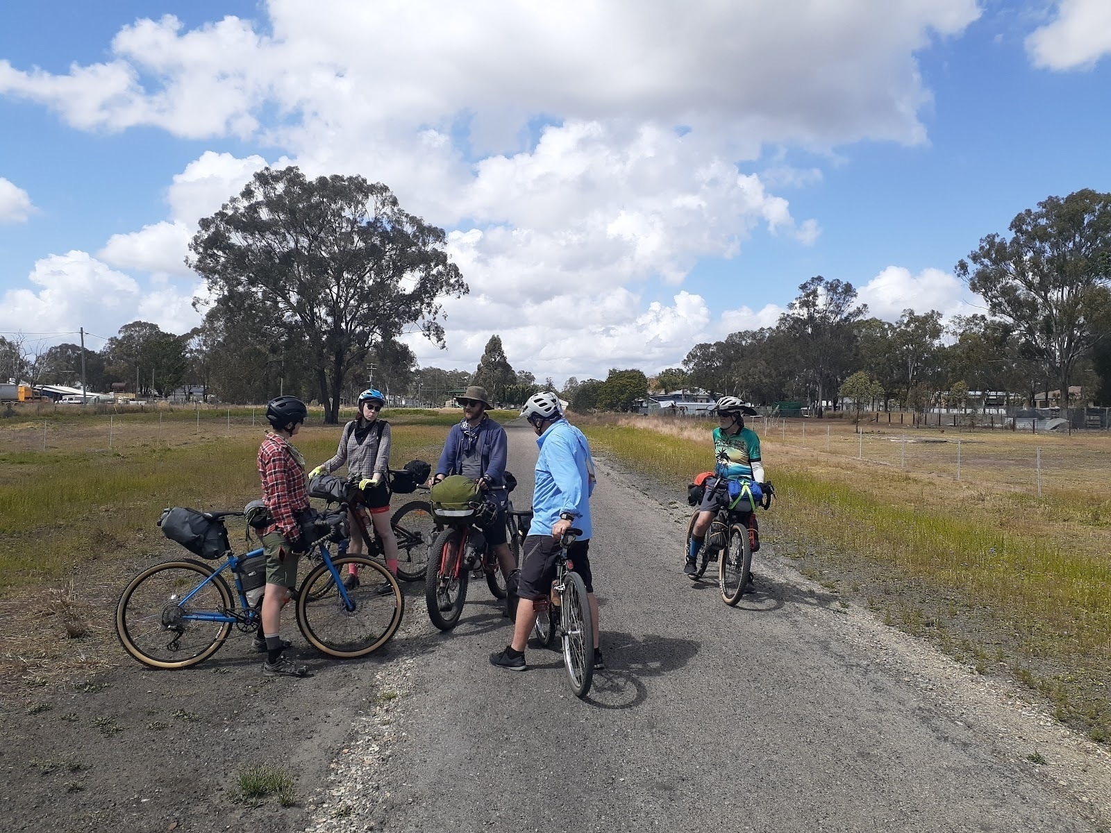
*Catching up with friends you see on the trail.* *
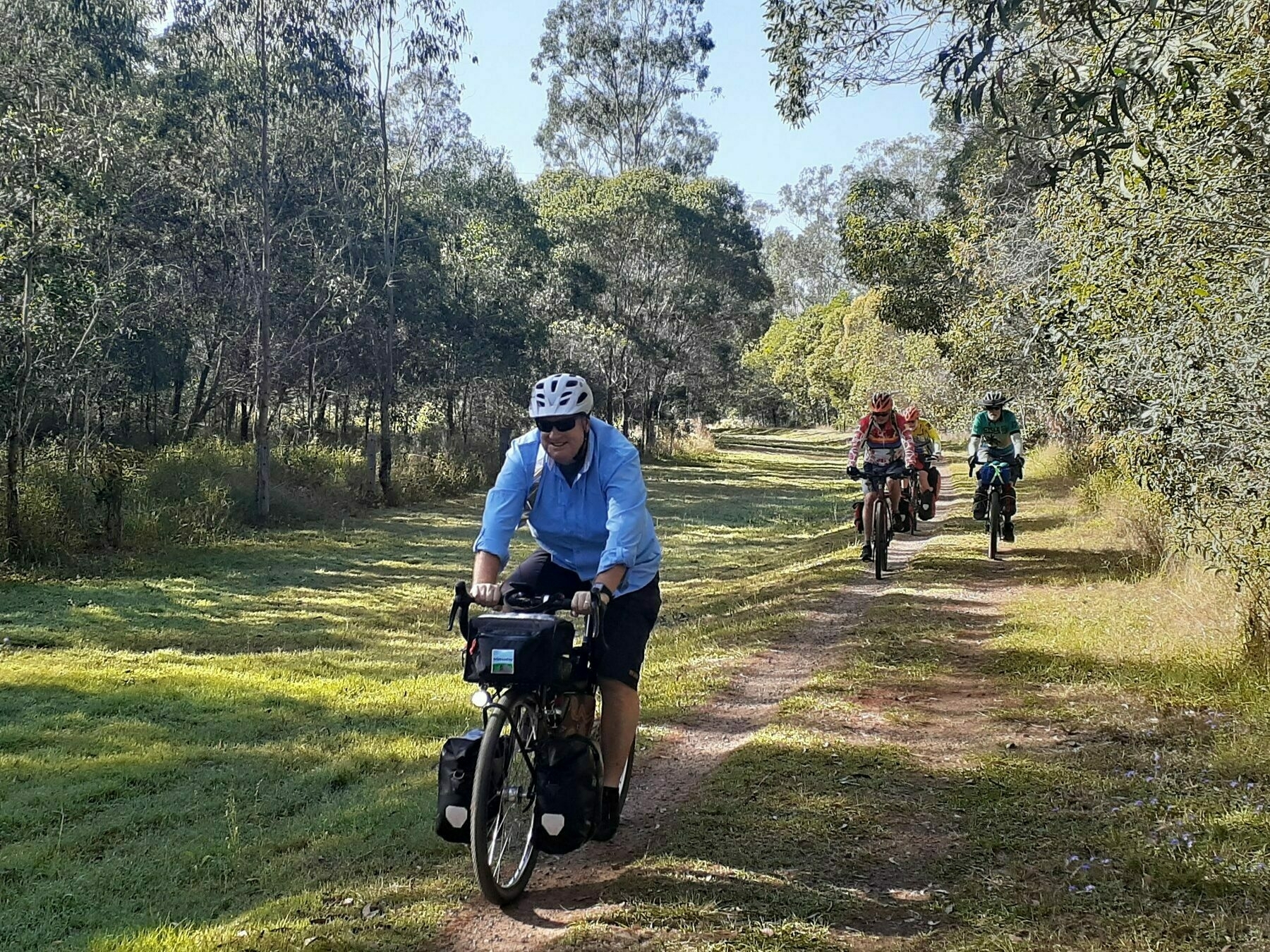
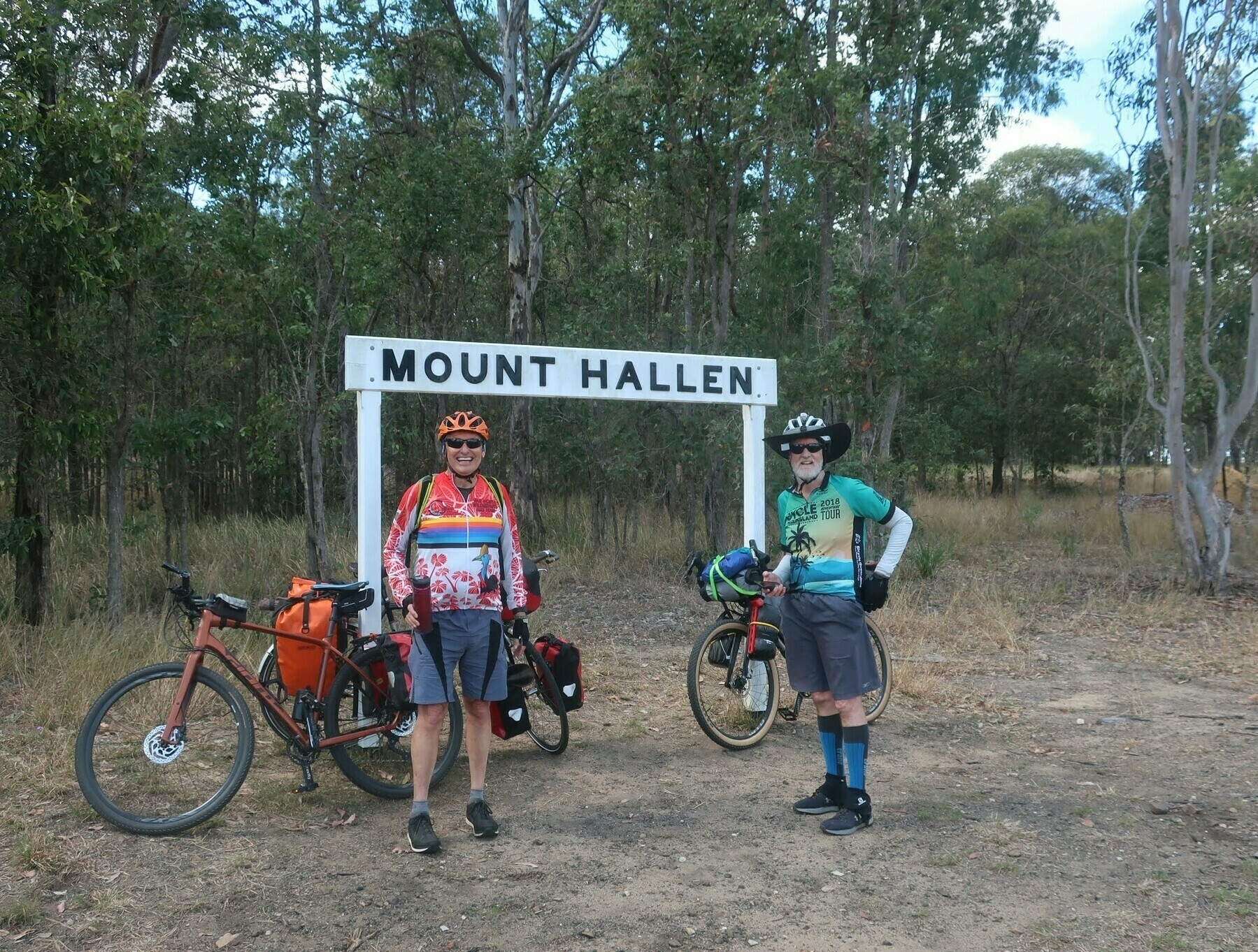
Made it to Mount Hallen!*

But that’s OK because it means that the following 10km into Esk are “downhill”. In both instances you will still need to pedal.

Esk nestles beside Sandy Creek in the shelter of Mount Glen Rock, where it is proposed to build a mountain bike trail network. And it has accommodation and refueling options too many to name.

Sadly the Red Deer Cafe is closed because of a fire, so my next favourite eating spot in Esk is the Grand Hotel, which has a pleasant beer garden in back. Our group included some vegetarians, who rated the vegie pizza as a winner. As might be expected, meat eaters have a much larger selection to choose from, not just in Esk, but for this whole 9-day route.

After lunch we had about 19km left for the day, over one more hill at Ottaba. The bridge at Coal Creek is slated for the restoration treatment, so soon enough it will be one less time you have to make the decision of whether to find a super-low gear and attempt to power-spin your way up the pinch out of the gully, or admit defeat and push your heavy-laden bike.

Watch out for magpies, camels and llamas in this section of the trail. No prizes for seeing or interacting with any or all of these creatures. The camels are in a paddock, the magpies are on the wing in spring, but the llamas are a tourist attraction, so maybe you could take one for a walk.

After Ottaba is another long pedally gently downhill run to Toogoolawah, home of the Condensery art gallery, and Ramblers skydiving centre.

My group was tempted by neither art nor plummeting, and instead took some victory snaps at Toogoolawah station and then reconvened for drinks at the Exchange Hotel.

Where to stay in Toogoolawah:

There are two other hotels – the Club, now called Peddlers Rest, and the Toogoolawah Hotel. I haven’t been to either one, and can’t even find a link to add.

Next: Day 2 Toogoolawah to Yarraman

Overview: The Great Queensland Rail Trail Adventure

Part 1 of a 10-part series describing a bike touring route by Andrew Demack, from Ipswich (Wulkuraka) to Gladstone, the “Great Queensland Rail Trail Adventure”.

Next: Day 1 Wulkuraka to Toogoolawah

Background

I visited the two developing sections of the Boyne Burnett Inland Rail Trail in June 2020, and met up with Mike in Gayndah, and Desley O’Grady at Kalpowar, and was impressed with their vision and enthusiasm and commitment to this great project.

So when the news came that the Kalpowar section was going to be opened in September, I thought, “why not ride there, and promote the idea of linking up Queensland’s three major rail trails”.

This 9-day ride uses the Brisbane Valley Rail Trail, the Kilkivan to Kingaroy Rail Trail (in part), and the new sections of the Boyne Burnett Rail Trail, linked up by back roads, and some main roads.

Resources

What do I need to know?

Bikes and tyres

The rail trail adventure covers a mix of surfaces but never gets into singletrack that would be suited only to a mountain bike.

Rail trails don’t have long steep climbs – after all, they follow a corridor which used to be a railway line. Some Queensland rail trails have short steep climbs out of gullies where the trail routes around rail bridges which are no longer in service.

And there are some long climbs, such as from Linville to Benarkin on the BVRT, or Wondai to Wooroolin on the KKRT. But those climbs are usually at a very rideable 2% gradient.

The surface of these trails is quite variable. There are certainly plenty of opinions about what the right sort of bike is for Queensland’s rail trails, which with one exception are all gravel surfaces.

Our group mostly had tyres of 42 mm or wider, with perhaps the “average” tyre being 650x48 or 700x40-42. My view is that a tyre width of approximately 50 mm is the sweet spot on rail trails. Any bigger and you are wasting energy dragging around more tyre than you need. Any less and you will dig in on the sandy sections, and be bounced around on the rougher sections.

Carrying your stuff

You will also see in our photos that there isn’t one correct way to set up your bike for rail trail / gravel road touring. We did a mix of camping and staying in pubs, so almost all of us were carrying camping kit.

If you see a setup in the photos on these pages that you are interested in, get in touch, and I can give more details. Here’s my bike for this trip, but I also have toured on rail trails on a mountain bike, and can offer some tips and tricks on what to bring and how to bring it.

Weather and wind

The best time of year for bike touring in Queensland is winter into early spring. We rode in early September 2021, and the weather was superb. We had a couple of cool nights (Kingaroy, Yarraman) with overnight lows down to about 3 degrees Celsius.

Riding south to north makes sense in Queensland, especially near the coast where the prevailing breeze is a south-easterly. In late winter / early spring, there is always the chance of a gusty westerly wind. We only experienced mild breezes, and didn’t notice a headwind of any sort until the second last day.

Mobile phone service

Telstra is so far ahead of Optus once you leave the south-east corner that it is not even funny. Those of us with Optus phones found them mostly useless on the nights we stayed in Proston, Eidsvold, Mungungo and Ubobo.

Next: Day 1 Wulkuraka to Toogoolawah

Gravel-packing with panniers

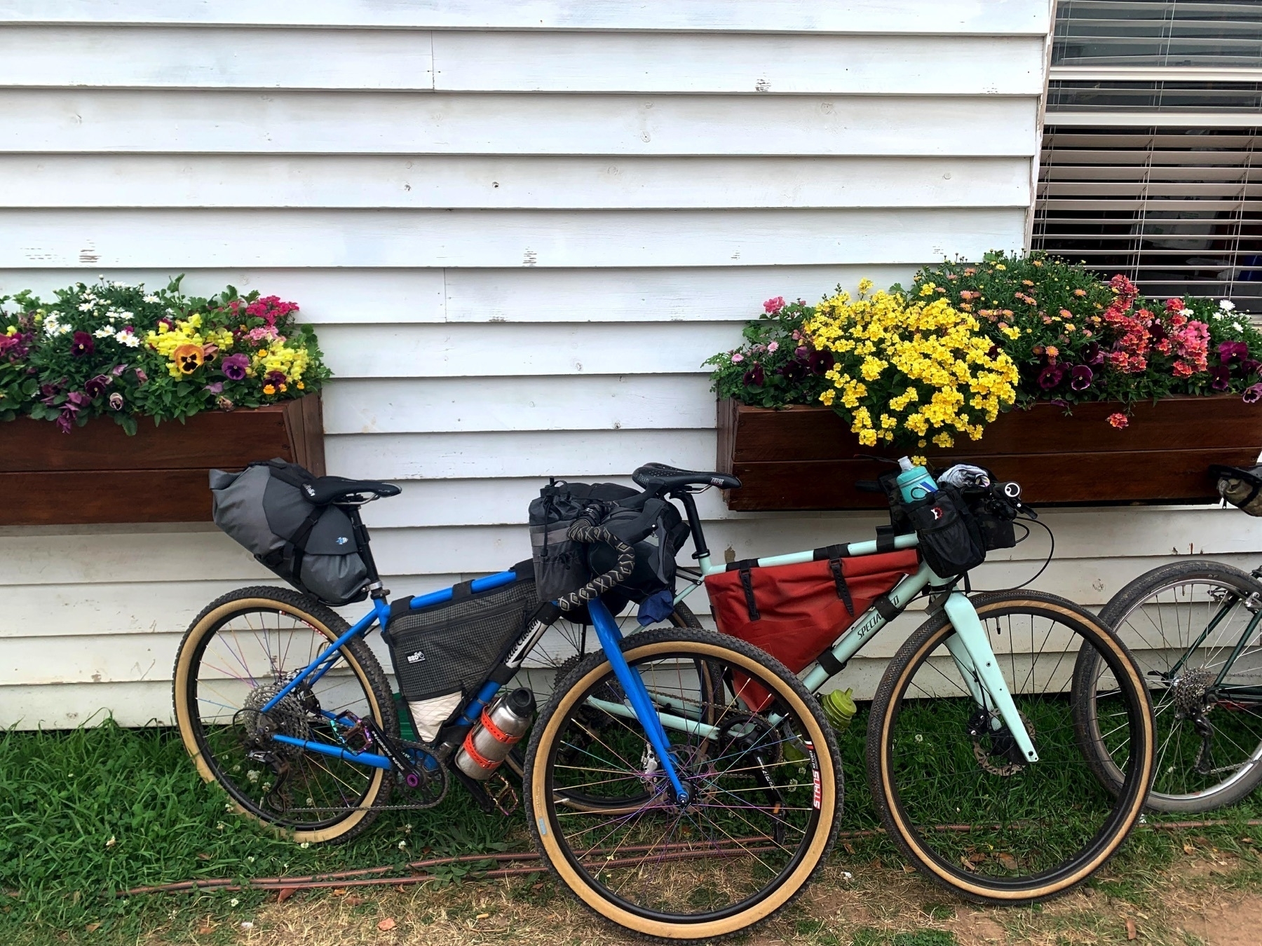
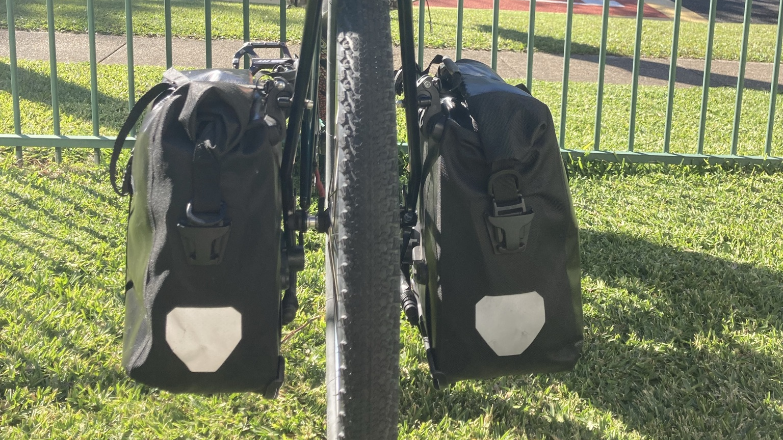
A big part of the bike-packing style of bike touring that really took off in the last 10 years was strapping bags directly to your bike, whether on the handlebars or seatpost, or within the main frame triangle.

For touring routes that have a high proportion of rough off-road tracks, or even some single track, this approach can be really good. It mean that most of your load stays within the usual dimensions of the bike.

This post was sparked by a promotional article by Tailfin, who make lightweight racks and luggage, which were originally focused on adding luggage capacity to road bikes. They have now worked out that their market is mostly your “bikepackers”, hence “Do pannier bags have any place in modern bikepacking?".

I broadly agree with the Tailfin crew, even though they are touting their new product. Panniers are a great way to store stuff, if you can get them mounted securely. Yes, they do have a place.

On my Sholto touring bike, I have a lowrider front rack. It is the one universally regarded as the market leader by long-distance tourists, the Tubus Tara.

And the panniers that everyone uses on the Tubus Tara are Ortlieb Front Rollers (there are about four or five different models, I have the cheapest ones with no bells and whistles).

All Ortlieb panniers have a very secure mounting system onto the top rail of the Tubus rack. So they aren’t going to bounce off (despite what Tailfin says).

But the lower plastic hook(s) that provides added stability is admittedly a rattly kind of system. My first attempt at silencing the rattle was quite successful. Rokstraps are a kind of bungee on steroids. I attached the stretchy part to the top rail of the rack, and the webbing half to the bottom attachment point, and held the pannier by strap lengthwise from top to bottom.

The only downside was that the strap stayed on the rack when the pannier was removed, and at that point it flapped around and got in the way. So mounting and unmounting the panniers was a bit of a faff because the straps had to be put on the rack each time.

The next iteration was to attach the Rokstrap to the panniers rather than the rack. This involved unscrewing the attachment rails at the back of the Ortliebs, and sanding away a section of the plastic rail to make space for the Rokstrap to wrap around. So now they are attached to the panniers, and the mounting/unmounting is a breeze.

The panniers are now nearly silent on even the roughest gravel road. The downside is that I’ve modified/hacked/damaged them, so I suppose I’ve reduced their resale value. Probably not a big deal for panniers that cost $110 for the pair.

And the answer to the question: ‘Do panniers have a place in modern bikepacking?’

Well I don’t know what ‘modern bikepacking’ is, or why I should care if I’m doing it, so I might not be the right person to answer. But I think I’ve solved to my satisfaction the question: How do I carry touring gear on my bike on rough roads?

And to Tailfin: so many straw men in your article. The idea that small panniers are some sort of revolution just cos you can also buy large panniers is laughable.

See also:

Our favourite bicycle YouTuber Russ Roca had the same issue, but solved it in a different way.

Get in the drops

Road bikes and cyclocross bikes and gravel bikes and all-road bikes all come with drop bars.

But most riders of these bikes that I see out and about don’t take advantage of the benefits that drop bars offer.

I ride on the road with a couple of different bunches. And I race cyclocross at Qld CX events. And I ride around Brisbane and SEQ a lot. And I would say 90-95 percent of riders I see almost never use the drops.

There are two major benefits of riding in the drops:

  • more aerodynamic position than on the hoods
  • better control when braking and descending

And there’s one reason that most bike riders don’t use the drops:

  • their sub-optimal bike setup means that its not comfortable

So what do you get out of being able to use the drops as an option when riding road or cyclocross or gravel?

Well, firstly it’s an option. I don’t ever spend a whole ride, or even a whole race, in the drops. Hands on the hoods, elbows relaxed and bent, is still the most common position for me when on either the road bike or the cyclocross (CX) bike.

But there are two situations when I always move to the drops, and a third when there is also benefit to being down there.

The first situation is descending, whether on bitumen or gravel.

Before I go any further, I have to credit Anthony Mortimore as the person who explained these principles to me in a comprehensive and convincing way. He runs an excellent weekend course on climbing and descending on the road bike. If you get to the end of this piece and want to put some of these ideas into action, do Anthony’s course (although it seems these days that you might have to go to New Zealand to do it). It will make you a better, safer, faster rider.

So, when descending on a road bike or CX bike, you want to be in a position that gives you the best control for braking and the most even or centred weight distribution. Being in the drops (assuming that your bike fit is correct) gives you a position on the bike that is low and centred (fore & aft), and also gives a grip on the handlebars that is able to withstand unexpected impacts from the road surface.

If you descend with your hands on the brake hoods, as many riders do, a sudden hit to the bike from a pothole or bump in the road has the potential to weaken your grip or even dislodge it altogether. If you’re on the drops, the force of the same impact pushes your hands harder into the bars, rather than off them.

The second advantage when descending in the drops is in braking force. If you are in the drops, you can brace your weight through your arms against the bars, and get your weight nice and low when you are braking. Doing the same manoeuvre from the hoods again puts you at risk of your grip weakening, and your hands sliding forward off the bars.

The third advantage of this position when descending is that is gives you the best way of keeping your weight pushing down through your outside pedal, thus giving you the best possible traction, the best grip on the road.

The second situation to be on the drops is when riding single track trails.

This is probably only applicable to cyclocross or gravel bikes. I don’t think many people are taking to the trails in Gap Creek or Daisy Hill on their road bikes with 25mm tyres.

But all of the advantages that being in the drops gives you when descending, are ramped up to the max when riding single track. For me, it is mostly about leverage to get the maximum braking power. Riding a cyclocross bike on single track is already very challenging. Riding it on the hoods is just asking for a crash.

I’ve ridden my cyclocross bike on single track at Gap Creek, Daisy Hill and Underwood trails. And my experience of doing so merely emphasises to me that being in the drops is the position which gives the greatest level of control over your bike.

And the third situation when I like to be on the drops is when riding in the road bunch on a windy day.

Once again, there are situations in group riding where you want to be prepared for all eventualities, and also be as aero as possible. And that’s what being in the drops gives you, if your position is correctly set up.

On a windy day the bunch tends to be blown around a bit, and positioning can be tricky. In most non-racing situations, the bunch should not set up in an echelon, because the echelon increases your width in the lane, and will appear from behind as through the bunch is much more than two-abreast.

And so maintaining position in a cross-wind or a headwind in a two-abreast inline bunch requires greater concentration and your best ability to respond to a changing situation. As always, the solution to that is to be in the drops!

To sum it all up: Katie f’n Compton rides in the drops. You could learn heaps from Katie f’n Compton.