Avoiding the Wide Bay Highway

Ground-truthing a route from Kilkivan to Gundiah

I am hoping later this year to be able to ride from Ipswich to Hervey Bay on rail trails and minor roads. The first four days are roughly the same as the Great Queensland Rail Trail Adventure, except that day 4 would go all the way along the KKRT to Kilkivan.

The rest of the ride would be Gundiah or Tiaro, Maryborough, Hervey Bay (on the Mary to the Bay trail). So the route linked above provides a crucial section so make this possible: a low-traffic route heading east from Kilkivan.

The latest edition of Organised Grime’s guide to the BVRT and KKRT includes a map showing this link.

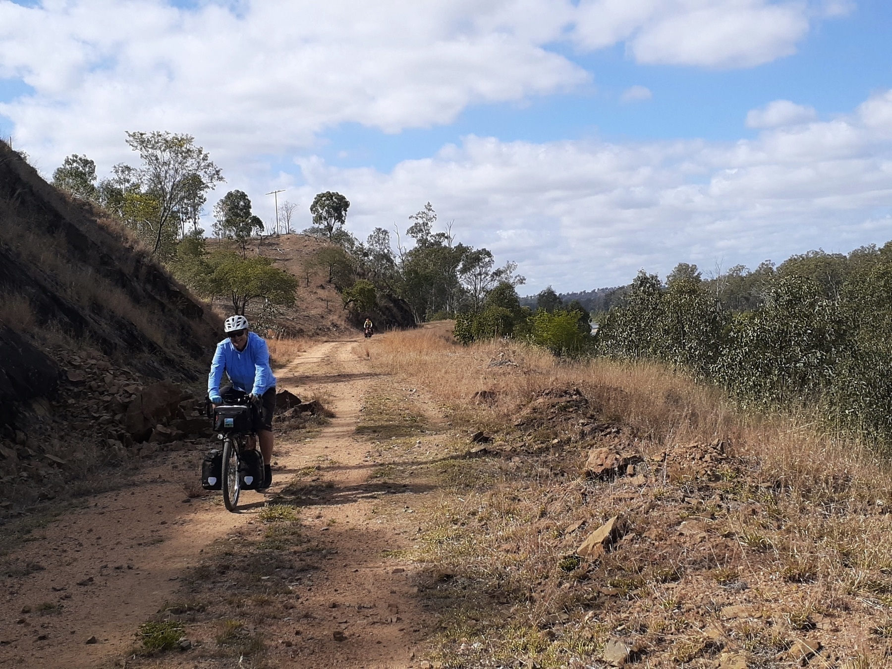
I rode the section from Cogzill Rd to Smith Rd on Tuesday 4 January. It was a useful link, but it certainly didn’t feel like a road reserve for most of it.  It felt like a farm track, and I think I should have found out who the landowner was to let him know I was coming.

I’ve provided feedback to Mark Roberts, who makes the wonderful maps for the Organised Grime guides.

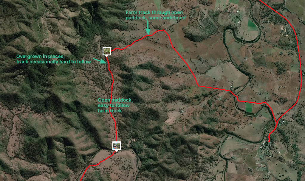
This screen grab shows the section of the route I’m discussing. It runs from 14.2 km to 19.1km on the Strava activity link at the top of this post.

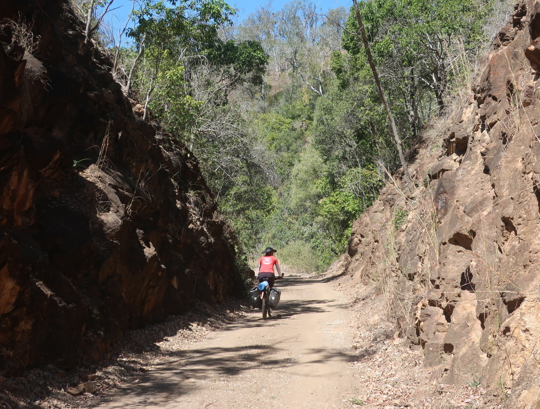
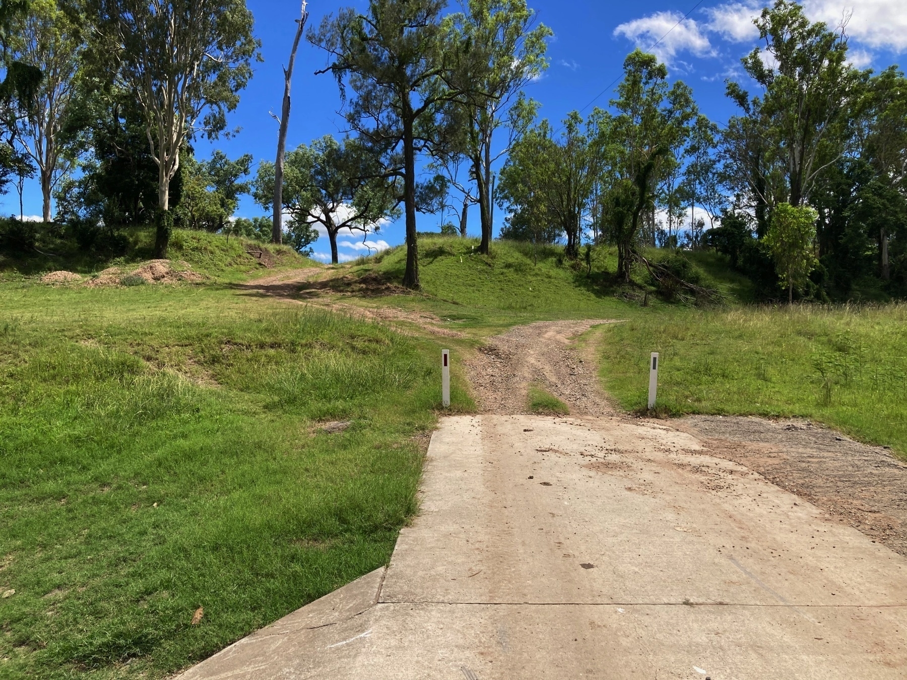
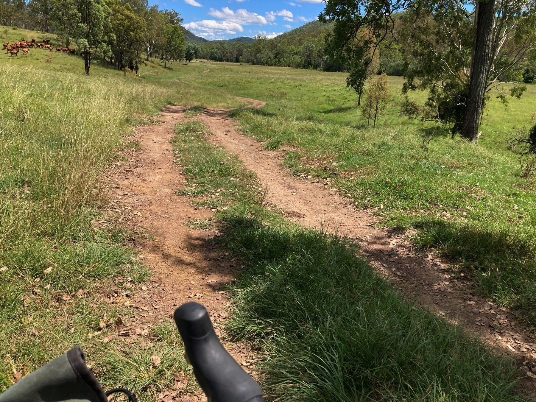
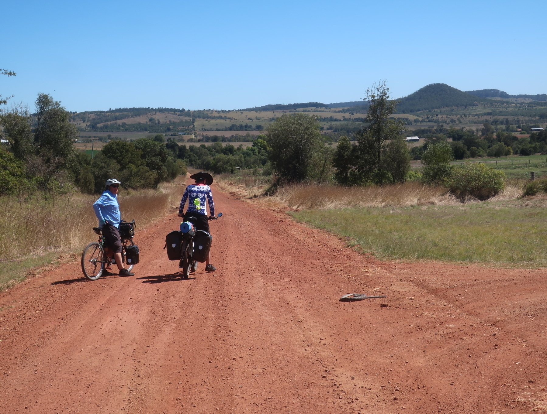
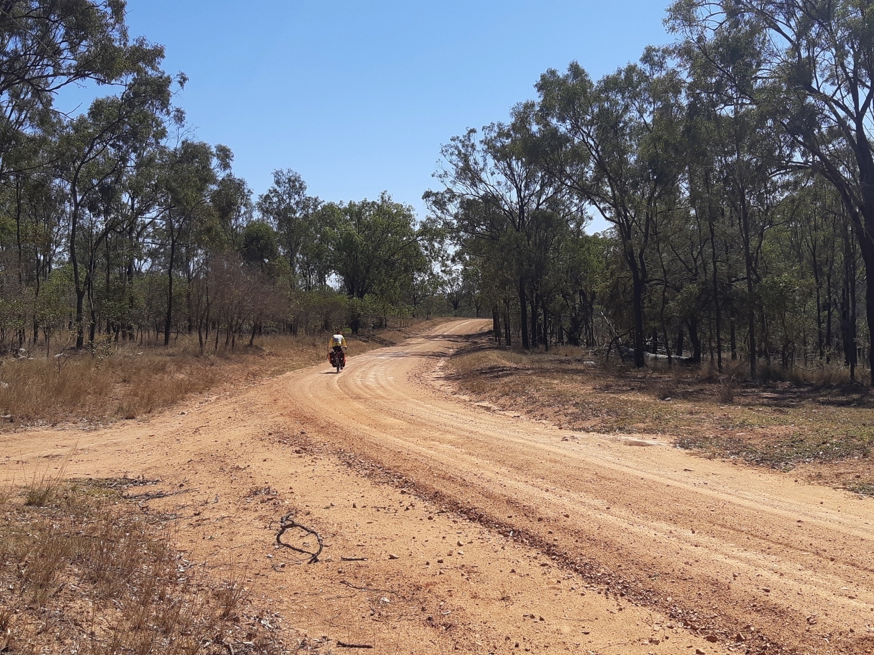
As we cross the Wide Bay Creek on Cogzell Rd, the “road” becomes a farm track and splits in two. The left hand branch is our route, the right is Cogzell Rd and I assume from looking at the aerial photos that it goes to a farm house.

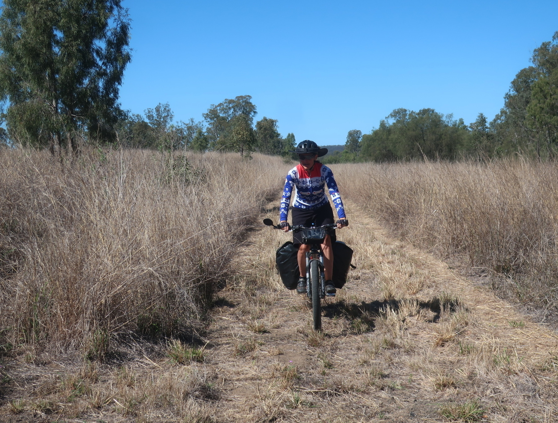
As we leave the creek bed, we emerge into a valley paddock, with a well-defined double track trail.

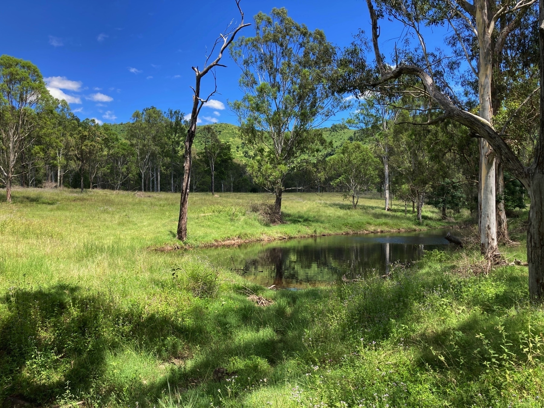
As the valley narrows in, the trail goes past a very nice little dam.

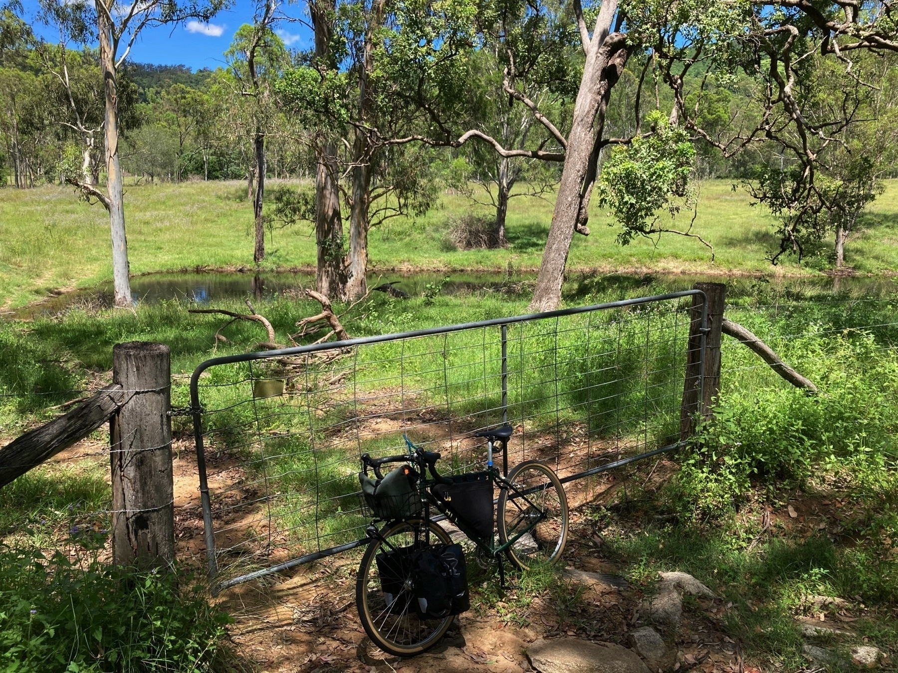
And through the first of maybe five gates.

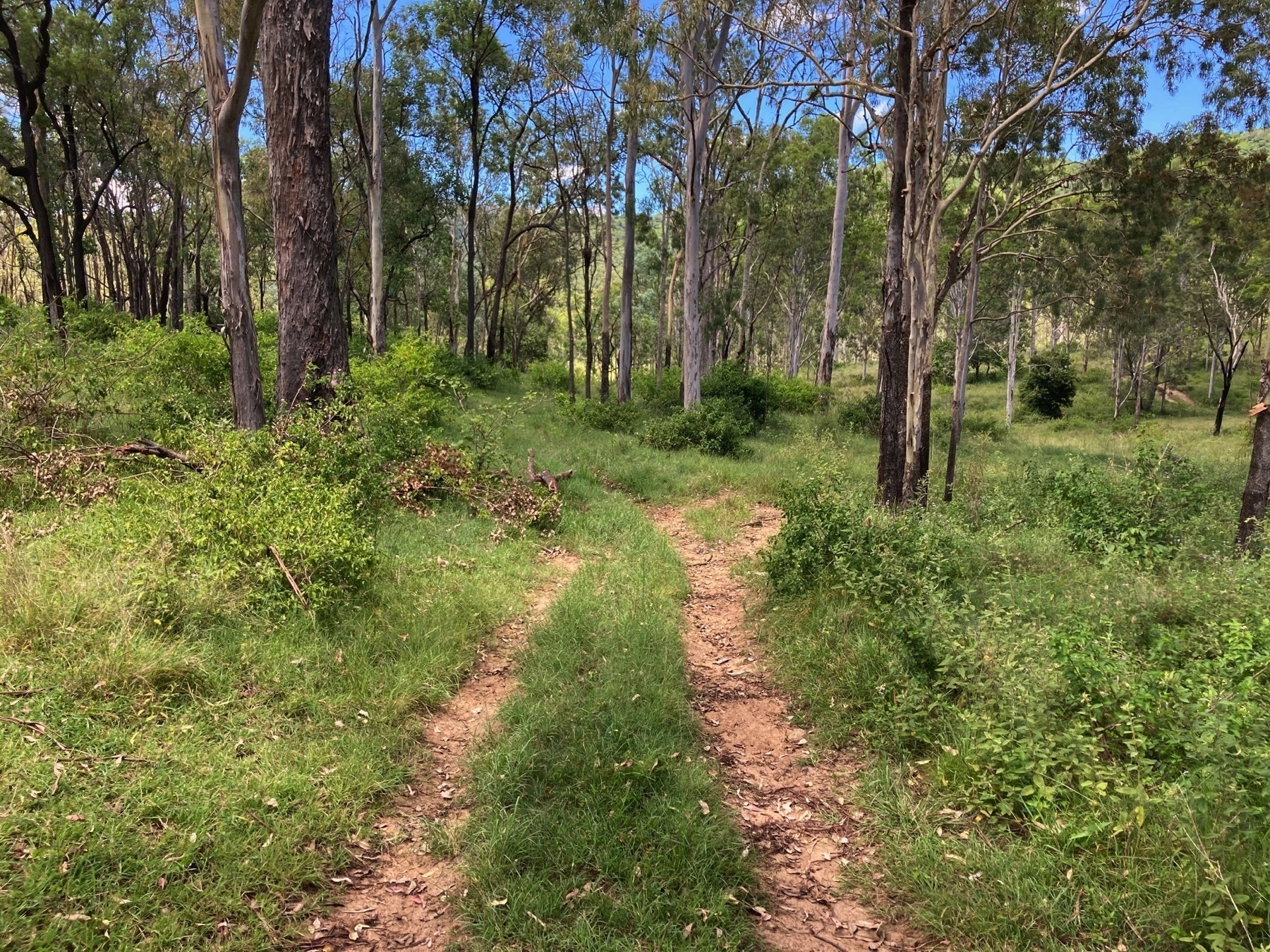
And then almost disappears on occasion as you follow the line on your GPS unit or phone.

The farm track emerges at the far end onto Smith Road, which takes us back towards Woolooga. Turn left on Gympie-Woolooga Rd to head towards Tiaro, or right to go to the cafe at Woolooga. Mark Roberts' route towards Gympie also goes right at this point, but from there on I haven’t ridden it.

I should point out that when I came back the next day after staying overnight at the Prince of Wales Hotel Gundiah, that I took the road, for comparison purposes. In cooler months the decisions will be less influenced by the need to get the ride over and find a cool drink and some air-conditioned spaces, so I hope to use this route later in 2022 (September perhaps) as part of an Ipswich to Hervey Bay tour.

What do you think? Have you ridden other back roads routes east from Kilkivan that work better? Let me know.

'The quiver killer is a myth' or 'Can any bike replace the Sholto?'

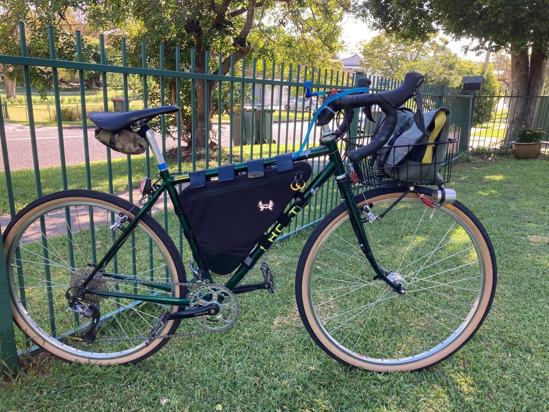
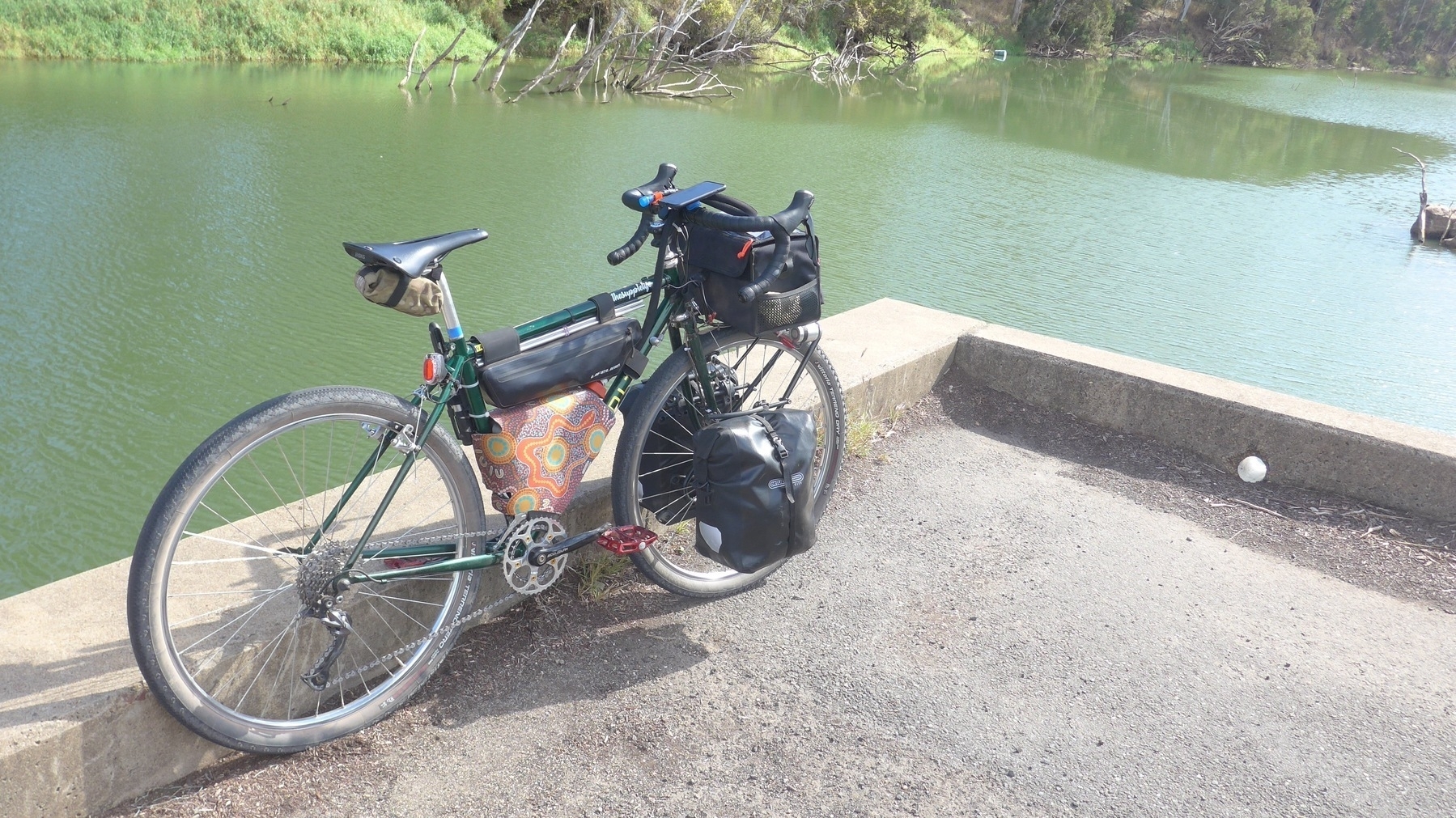
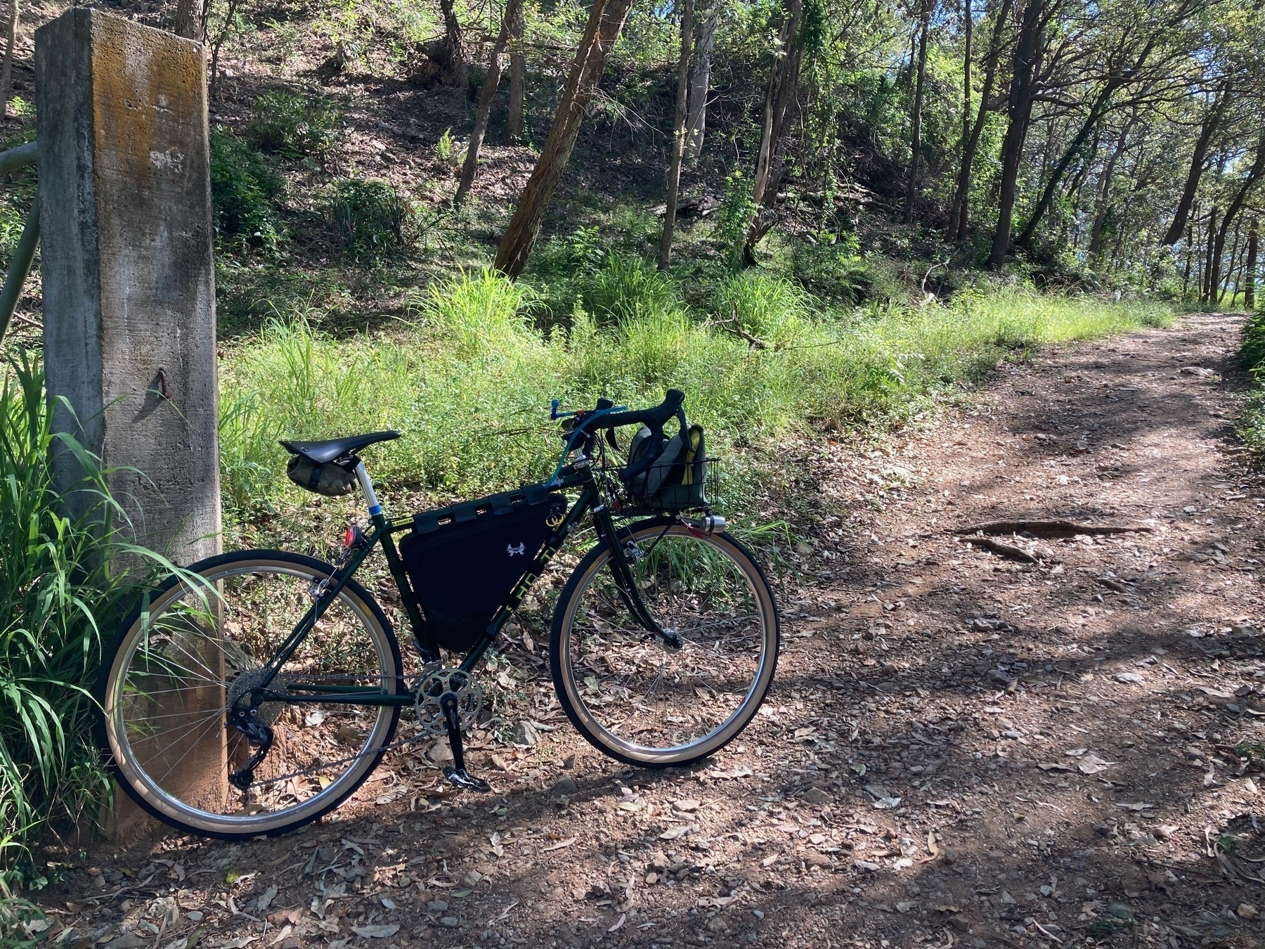
My touring / commuter bike (the Sholto) has had a long and varied career. And ever since I turned it into a 650B bike, it has firmed more and more as my favourite.

That is partly because of it’s versatility. The Sholto is good for commuting to work, for riding overnight or weekend tours on a mixture of rail trail, back roads and gravel roads. It is not the lightest bike, but I am not the lightest rider, so I tend to forgive those sins.

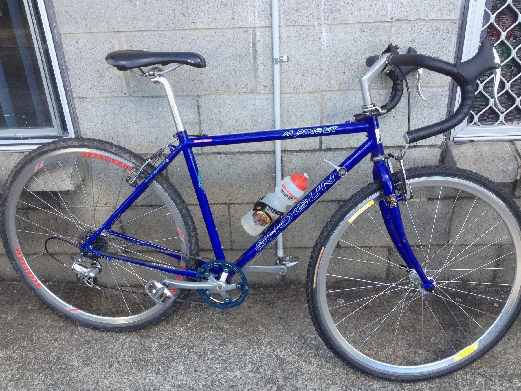
It is also partly about our shared history, and the memories associated. I have owned this bike since I turned 30 in 1994. I went on my first bike tours with the Shogun (as it was then). It was also my first cyclocross bike, at which role it was also quite awesome.

About the only thing I don’t really like about the Sholto is the brakes (currently Tektro CR720 cantilevers). They’re fine. They aren’t great. They aren’t terrible. Just OK.

I like everything else. I like my position on the bike, it’s very relaxed, but it still feels like I can power along when required. I like the range of roads, trails, and surfaces that the Sholto is comfortable on. I like being able to put on the Vittoria Terreno tyres or the Teravail Washburns, when I want a wider tyre (almost 50mm) with plenty of grip for the dirt roads. I like going back to the Grand Bois Hetres 42 mm slicks for rolling along the commuting roads, or heading out to Cambooya on a weekend tour on mostly bitumen.

I like the myriad of options for being a contender in the #CarryShitOlympics. I have a cool basket for carrying all sorts of stuff, I have a deadly front rando bag, I have great front panniers, I have a small but surprisingly capacious saddle bag, I have the Cranktank for carrying 4 litres of water on long thirsty days and now I have a custom made in Ukraine frame bag, which lets me carry a 2 litre water bladder and plenty of other stuff in the main triangle of the bike.

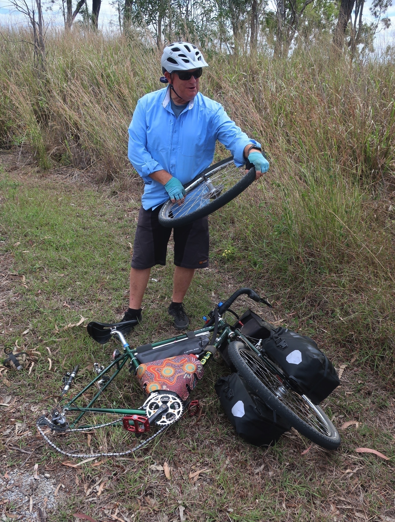
I like that the Sholto was a standout performer on a recent 9-day tour. The only moments of concerns I had for 9 days were a couple of punctures, and you’re always going to get them from time to time. I’ve had very few flats in the last couple of years, so I was probably due.

I also like the alignment of the Sholto with the “reduce / reuse / recycle” mantra. I am trying to convince myself that there’s nothing that newer gravel/adventure bikes can do that the Sholto cannot also do.

And mostly I am convinced. New bikes are shinier and newer, but are they going to be better suited to my particular combination of commuting and touring? And would the new bike feeling last more than a week before it just felt like the bike you have had forever?

The Sholto bike’s 30th birthday will be here before I know it, in 2024. And with very long timelines currently for getting new bike frames and parts, if I actually do think that it is time for Sholto to retire, what would replace it?

Here is a list of cool gravel/adventure bikes, mostly available as frames that I would build up with my selection of parts. They are all 650B disc brake / drop bar / gravel adventure / touring bikes. Strangely, three of them come from the UK. The first is from Braidwood in NSW.

These bikes are listed in descending order of price. Which of course means that the one I am really tempted by is the Fearless Warlock.

I am going to do a decision matrix with these four bikes to see how they stack up against the Sholto. But my sense of it is: I could spend $4000 on a new bike (that’s my ballpark pricing on a built-up Fairlight Faran), and it would absolutely be better than the Sholto. But $4000 better? (Whatever that means). I suspect not.

I might change my mind tomorrow. The Sholto might break again. I don’t know what the future holds.

But I do know that the current build of the Sholto brings me a lot of joy. And maybe when I fit the new Swiss Stop brake pads I have in the shed, the brakes will become awesome and the bike will be perfect.

Rail trails and back roads to Hervey Bay!

Next big idea: Ipswich to Hervey Bay: BVRT, KKRT, BNT and back roads to Tiaro, Mungar.

And Mary to the Bay Rail Trail is being built full speed ahead by Ken McDonald’s magnificent low-cost construction crew.

And here’s the tricky bit, connecting Kilkivan to Maryborough. Mark Roberts has mapped a route from Kilkivan to Gympie and I’ve adapted a section of it for Kilkivan to Woolooga. Then it’s OK to go via Miva and Theebine etc and so on. Back roads heaven.

GQRTA Day 9 Ubobo to Gladstone

Part 10 of 10.

Previously: Day 8 Mungungo to Ubobo

Strava link

Distance: 79.3km

To describe this day as a “transport stage” would seem like I’m damning with very faint praise. But let’s be real. In every tour there are sections which aren’t all that interesting, but still have to be ridden.

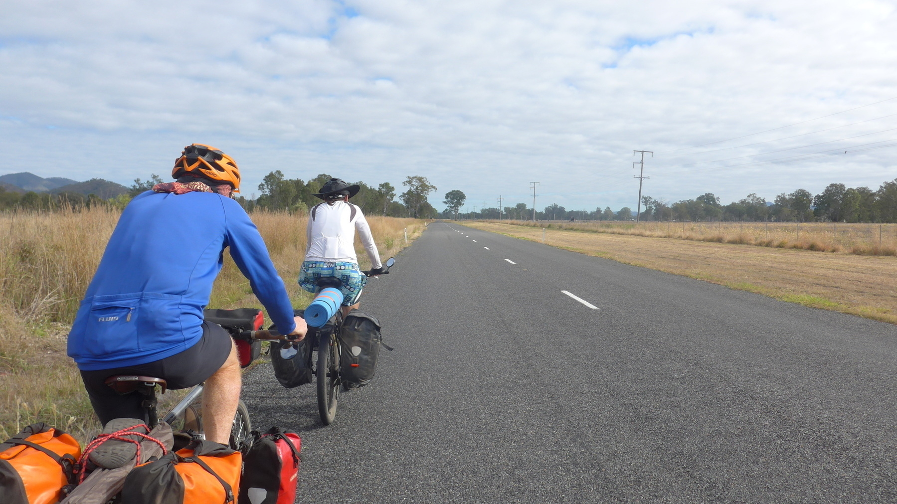
This day was all on bitumen roads, some of them quite busy. From Ubobo to Calliope is about 54km, all but the last four km is on Gladstone-Monto Road, which doesn’t have a daunting amount of trucks. Quite a few 4WD vehicles towing caravans, quite a few RVs, not all that many trucks.

We stopped for a morning tea break at Calliope, and shared a picnic shelter with a ragged looking dude who was chain-smoking roll-your-own ciggies. He looked like maybe he was homeless, but then was picked up by someone in an almost new Camry and off they went. So what do I know.

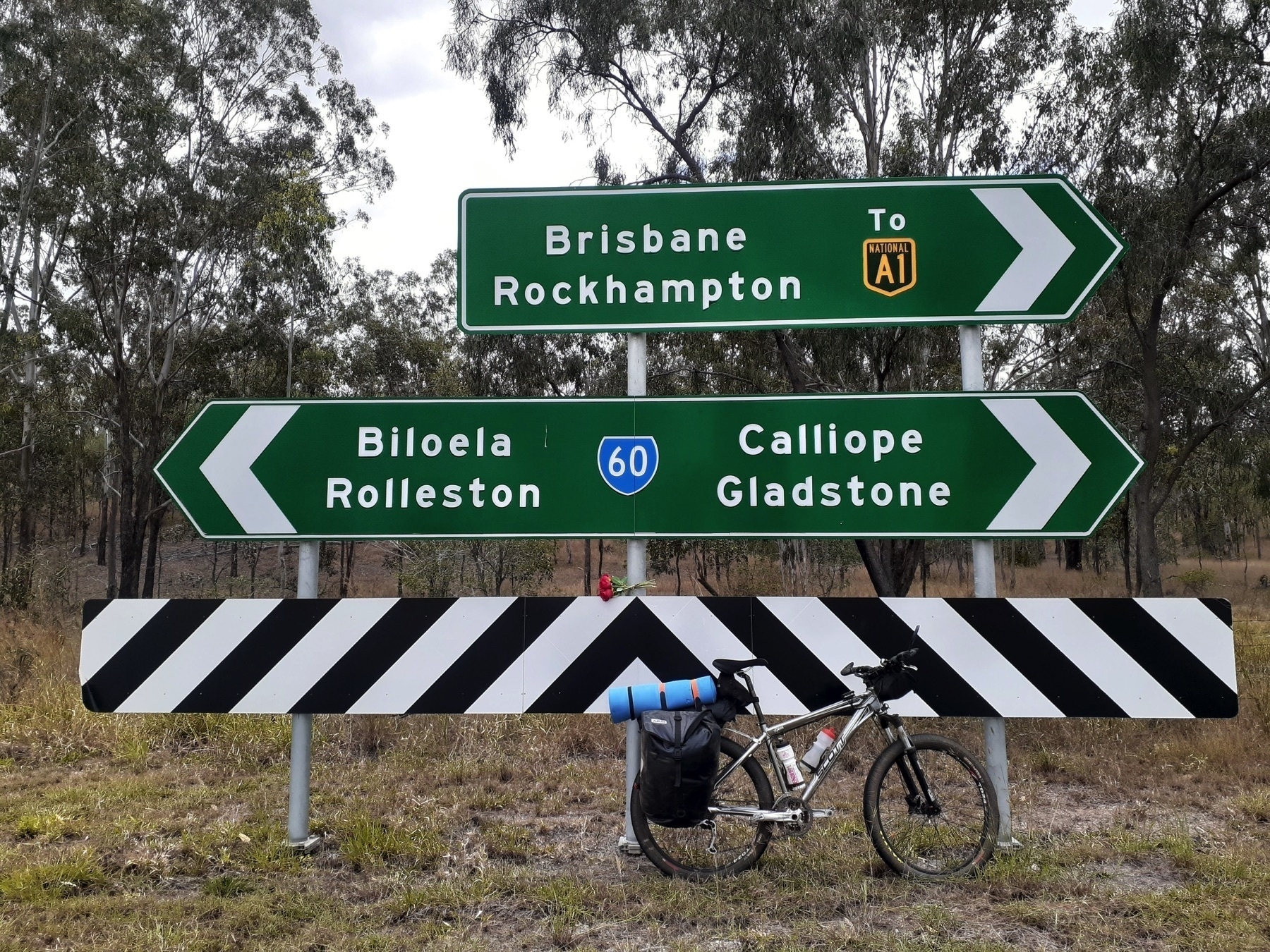
With only 25km left on our trip, we packed up one last time and hit the road. We tried to follow what short sections of bike path there were through Calliope, and crossing under the Bruce Highway to join the Dawson Highway into Gladstone.

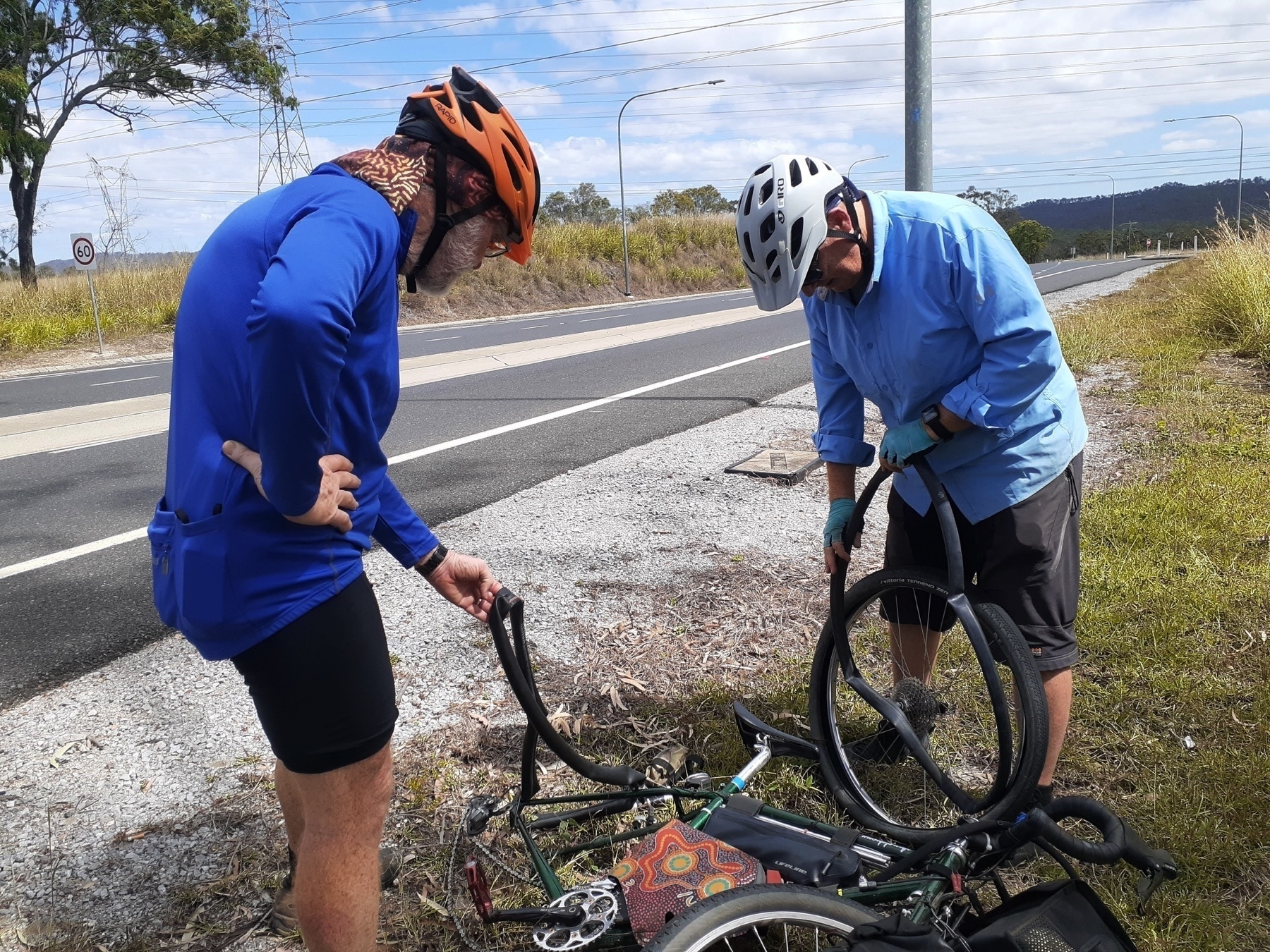
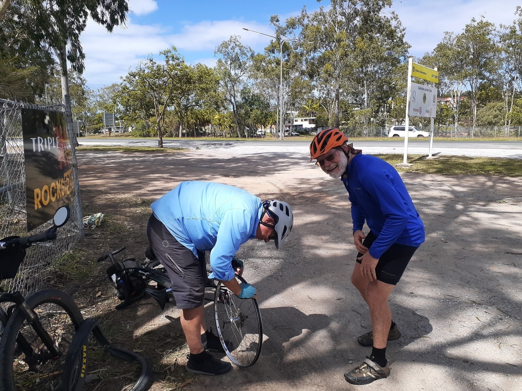
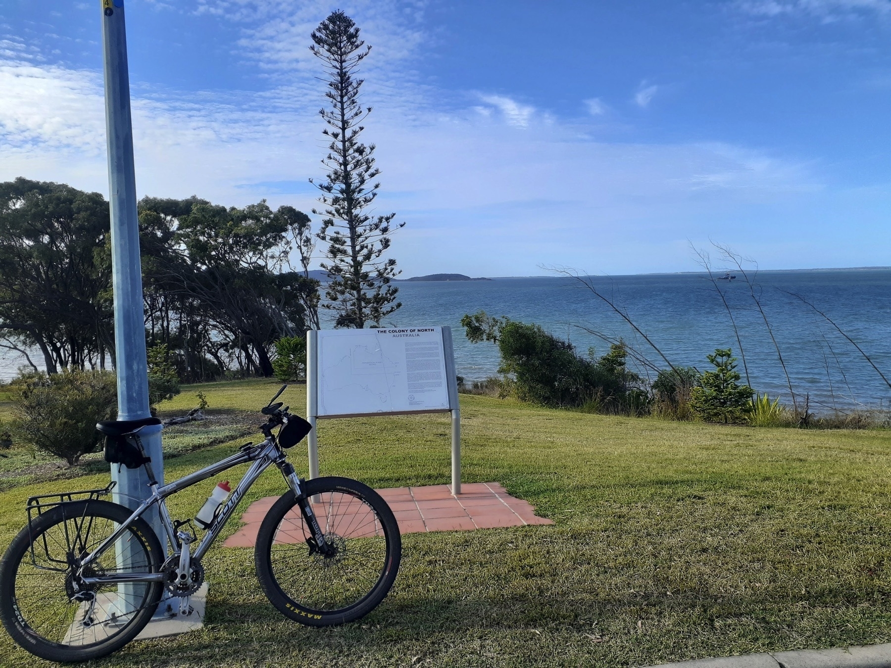
Our only incident on the way to the Club Hotel (opposite the Gladstone railway station) was a flat rear tyre for me. The culprit was a sliver of wire that my tyre picked up when I rode on the highway shoulder, so I don’t think I can be too hard on the Vittoria Terreno Dry on this occasion. A complication of my own doing was caused by the ghetto rim tape job I did at the Eidsvold Caravan Park, comprising Gorilla Tape torn down the middle (to fit the bed of the rim). The tape had wandered up onto the shoulder of the rim, which was preventing the bead of the tyre from sitting correctly. The solution involved a pocket knife and some careful trimming.

Pretty soon we were having a big bowl of chips at the Club Hotel before a relaxing afternoon. Belinda headed down to Barney Point Beach, and Rob and I retired to our respective rooms.

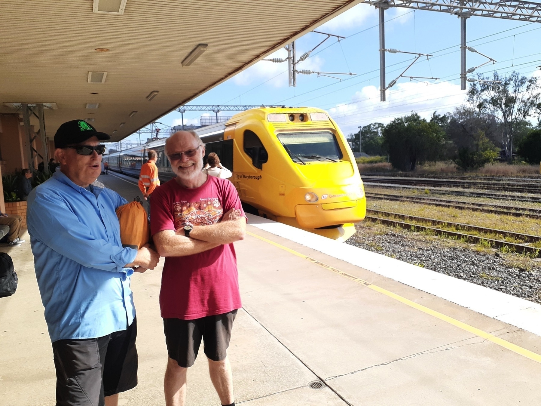
The next day we dropped the bikes off at a local transport depot, and jumped aboard the Tilt Train for the return journey to Brisbane. It is VERY annoying that Queensland Rail doesn’t allow passengers to bring bikes aboard the Rocky-to-Brisbane Tilt Train. Are we “Good To Go” or not? If everybody who reads this guide to the Great Queensland Rail Trail Adventure would like to write to the Minister for Transport and Main Roads about this issue, I would be grateful! Mark loves getting emails.

The Tilt Train is a great way to travel. Just lower your expectations for the coffee served by the catering team, and you’ll have a fine time, and probably finish whatever book you were reading on your Kindle.

Back to GQRTA Index.

Contact Andrew Demack with questions about this route

GQRTA Day 8 Mungungo to Ubobo

Part 9 of 10.

Previously Day 7 Eidsvold to Mungungo

Next Day 9 Ubobo to Gladstone

Strava links

Distance: 71.8km

2025 Update: The Grand Hotel Many Peaks is now open. Many Peaks is a great place to stay, or at least. Check in with Desley and Craig, the new owners of the Grand Hotel for meals and accommodation!

Kirsten’s Cottage at Builyan is no more. The Creative Arts cafe which replaced it is listed as being open on Friday, Saturday and Sunday, but it would be good to check that information before relying on it!

Original text:

Well, we made it. Even though we were reduced in number, even though I think we got slower day by day towards the end, even though we had some long days in the saddle, we made it.

When I first heard from Desley O’Grady that a date had been set for the opening of the tunnels section of the BBIRT, I knew I wanted to attend. And as I reflected on my conversations about how BBIRT might interact with other rail trails, I also knew that somebody would have to be the first to try and piece the trails together.

So this whole ride was about today’s event. But it’s a great ride, regardless. As a bike-touring route at the right time of year (I would NOT do this ride in summer, for instance), this has very little traffic, no really hard days, and many good towns to stop at. As 700km rides in Australia go, this would be one of the easiest!
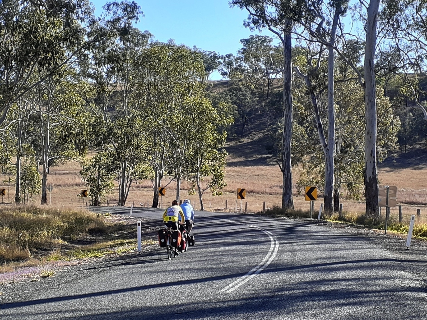
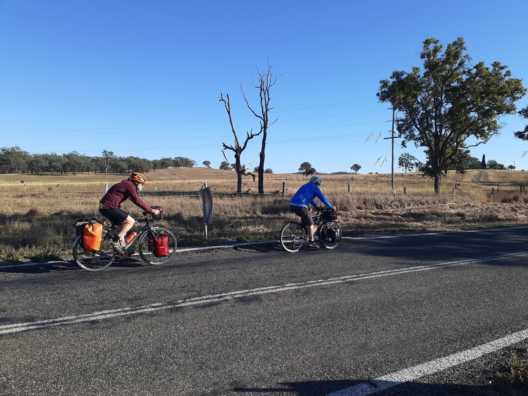
We set out this morning fueled by breakfast supplies we had bought the day before in Monto. The trail opening event would commence around 10.30, and we had about 30km of gradual elevation gain to get there. The Gladstone-Monto Rd is bitumen, but doesn’t have a large volume of traffic, and on this particular Saturday morning I suspect at least half the vehicles which passed us were going to the same event as us.

We made it to Kalpowar for a toilet stop and a quick look around, and then onto rough gravel roads for the next 5km to Barrimoon siding.
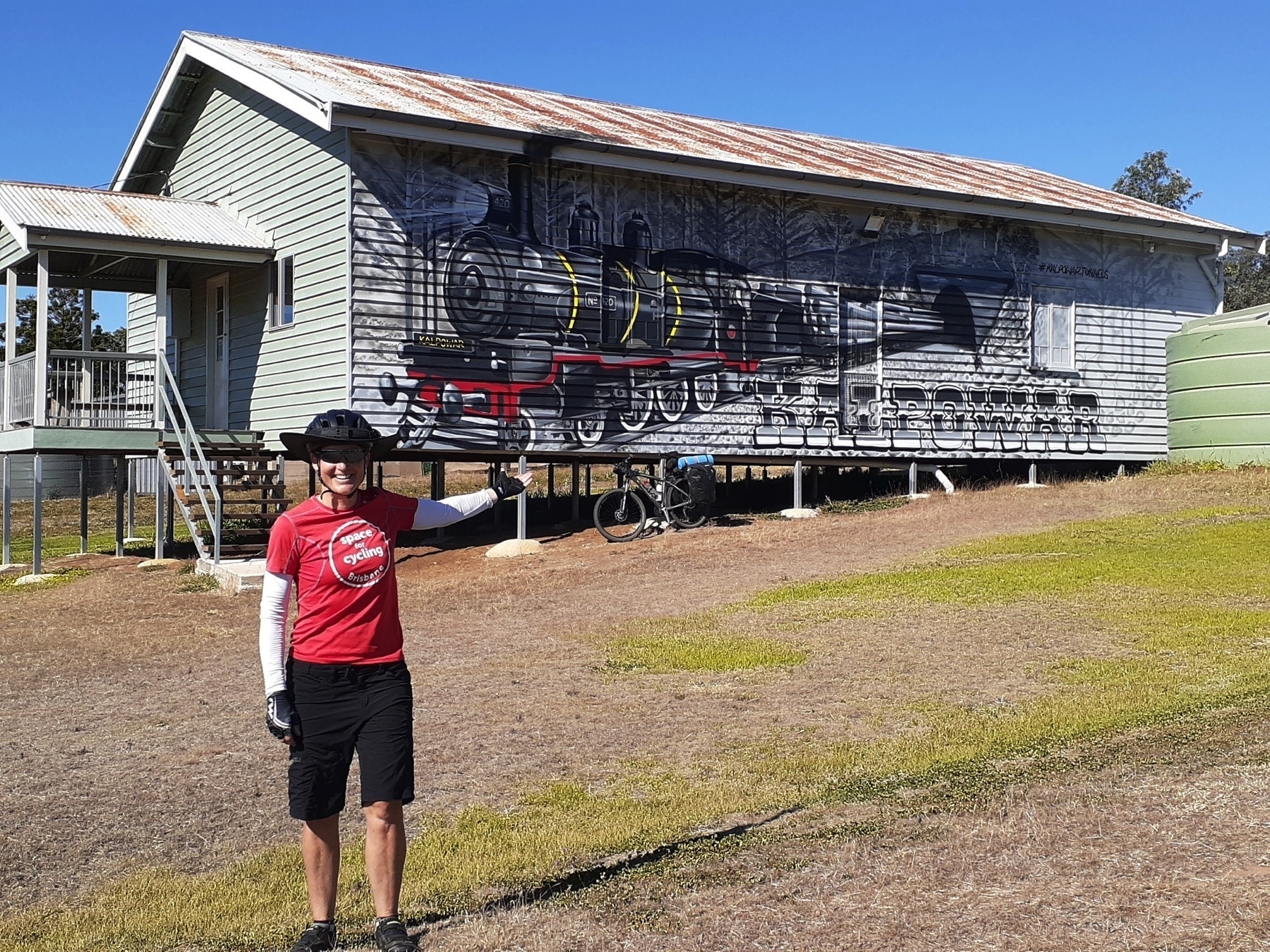
The BBIRT crew have put out signs which direct you to Barrimoon siding, and I’m sure they will still be in place, or replaced by more permanent ones in the future. It will be even better when you can use the rail alignment straight from Kalpowar – the bridge over Cabbage Tree Creek might be an impediment to that, I don’t know.

So we joined the crowd of about 400 people who had gathered for the event. We saw plenty of friendly and familiar faces, and mingled and chatted and ate a burger, and slurped a coffee.
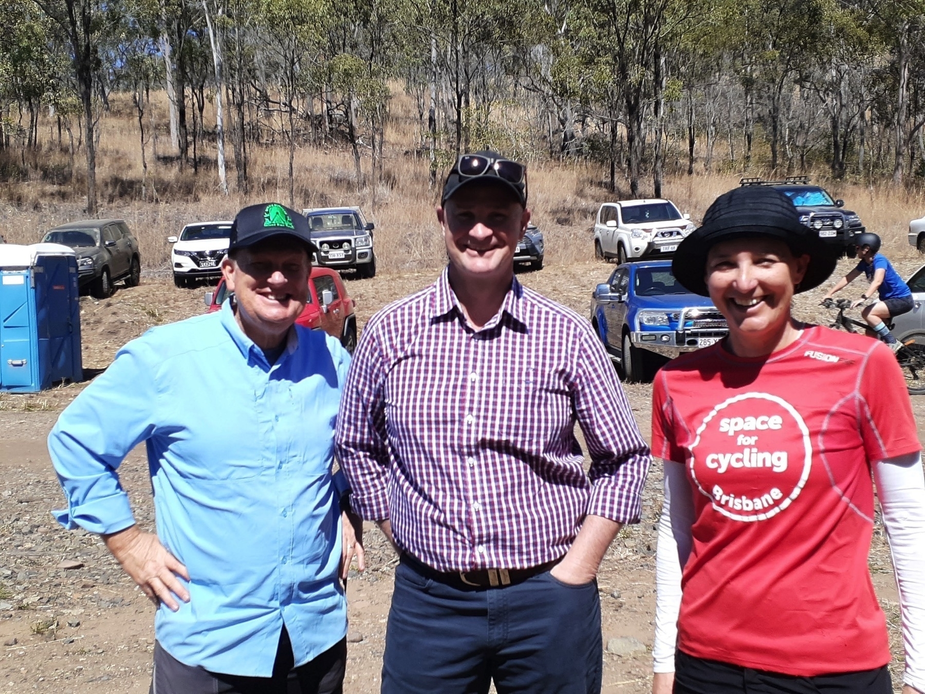
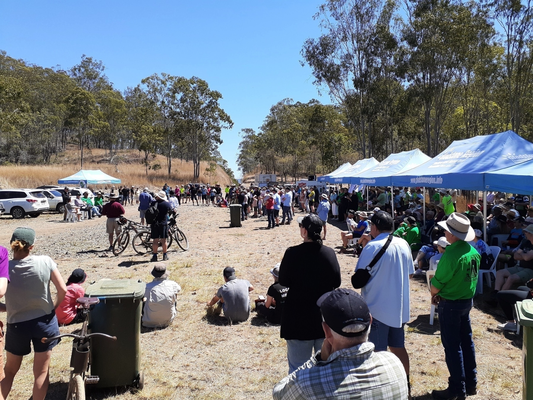
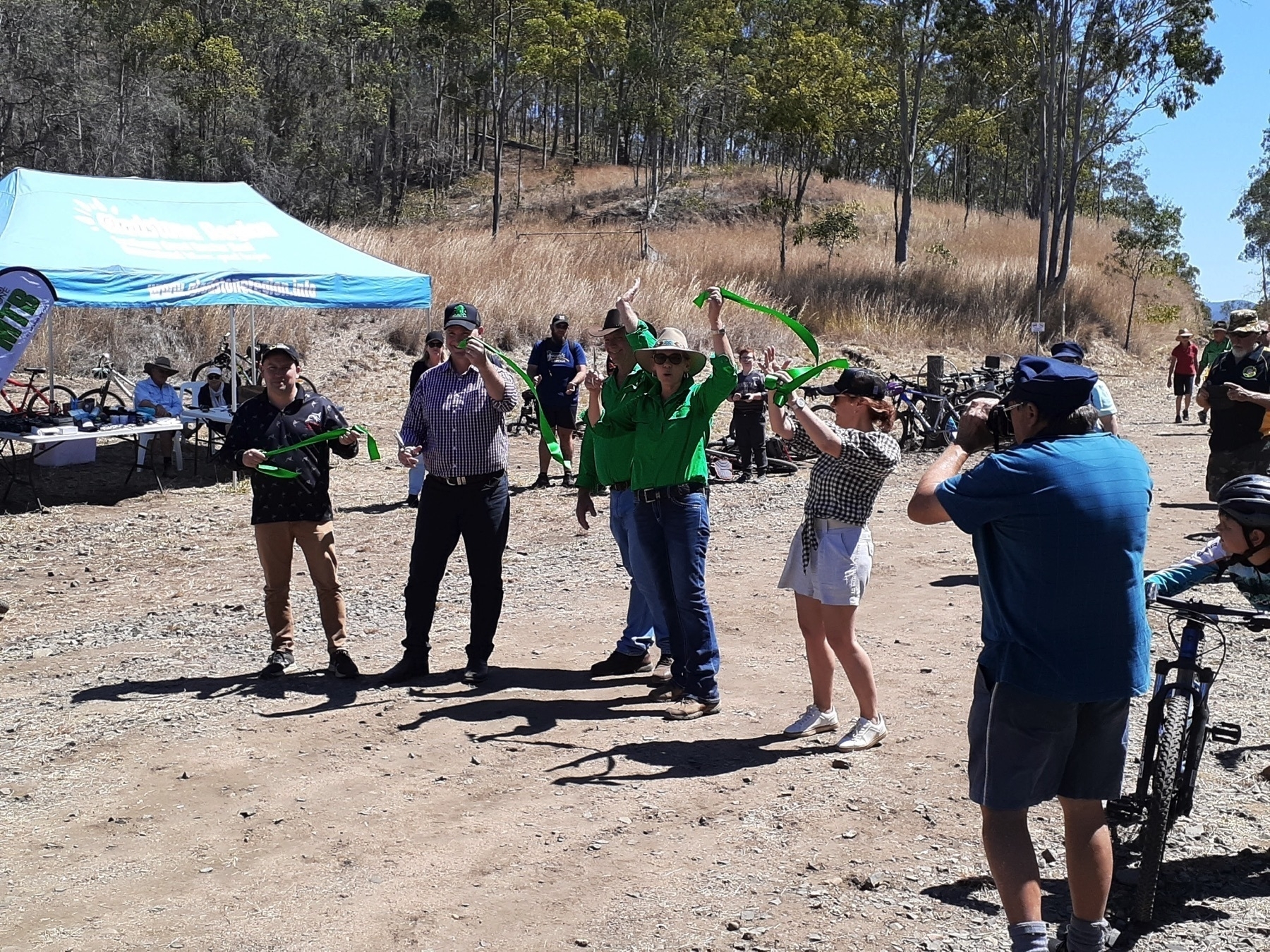
Then the speeches happened, and the trail was opened. The support from local and state government for this project was evident in the fact that the Mayors of North Burnett and Gladstone councils were both there and cheering it on, as was the State Member for Gladstone, who announced some funding to enable the trail head to become wheelchair accessible.

But the driving force behind getting this trail open has been the BBIRT community group. Yes, they are well connected into local government – Desley O’Grady is on Gladstone Council. But very little of the work done before this event was done by Councils or TMR. It was all organised by BBIRT (working with the permission of TMR, of course. BBIRT has a licence allowing them to improve the trail corridor).

After speeches and photos and filming and farewells, we got riding on the newly opened trail around 12.30pm.

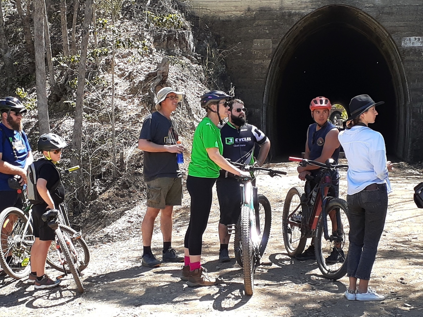
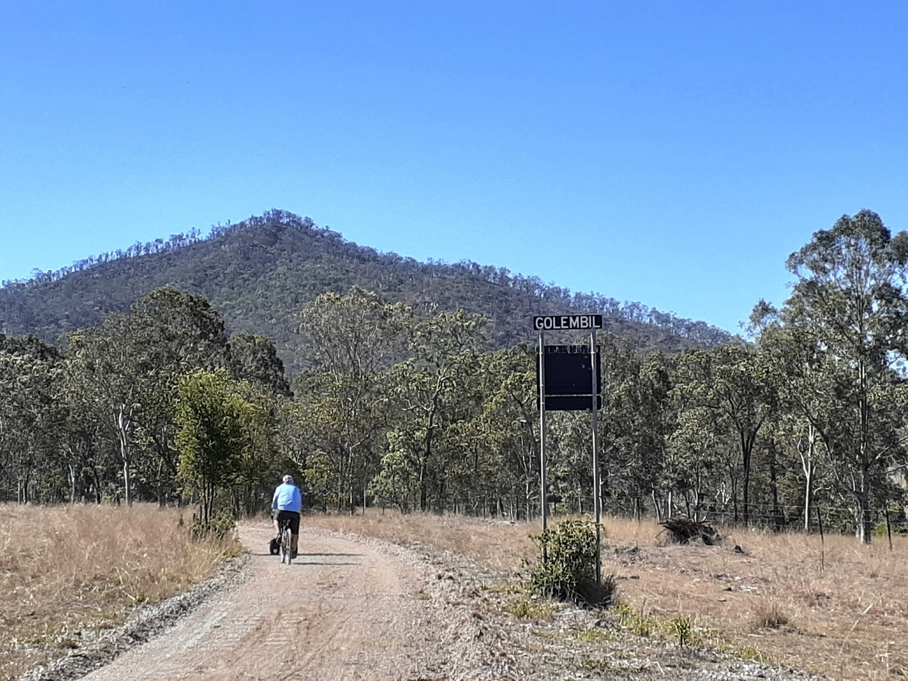
From Barrimoon siding down to Golembil is the spectacular initial section of the new trail. And it is worth every last bit of the time, effort or money it takes to get you there.

I have ridden plenty of rail trails in Australia. And this is (potentially) the best one. A little more work on the surface and it will be the best one.
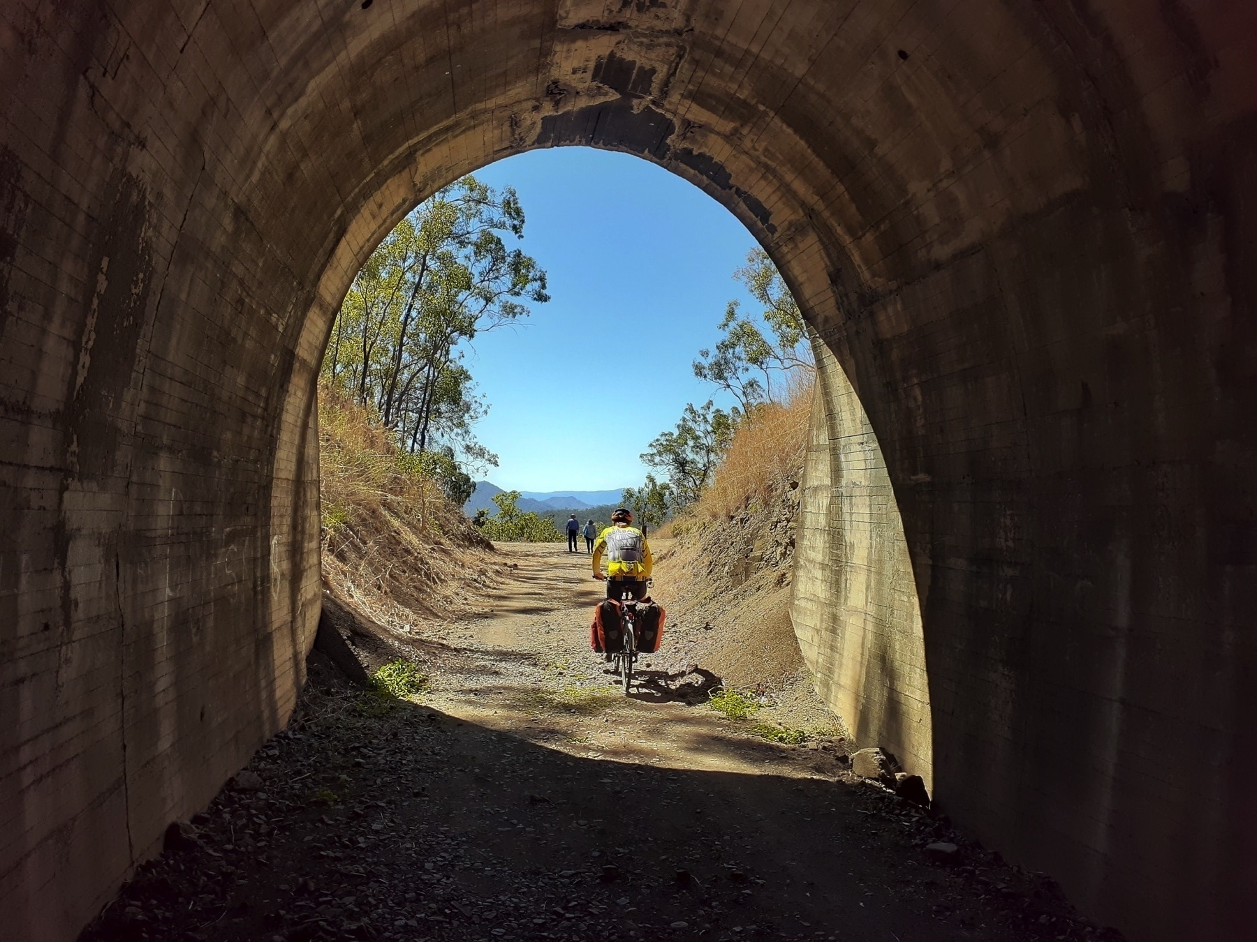
There are six tunnels in the 5km from the top of the Dawes Range at Barrimoon. And the trails rolls through each of the tunnels, and in between there are views of the range all around. Just down the valley from here is a town called Many Peaks. And you can see why, as you cruise on the 11 km downhill to Golembil bridge.

We took quite a few photos on the day, and I took pix last time I was there as well. And all I can say is that it would require a much better photographer than me to do justice to what a beautiful ride this is. You have to go and do it yourself.
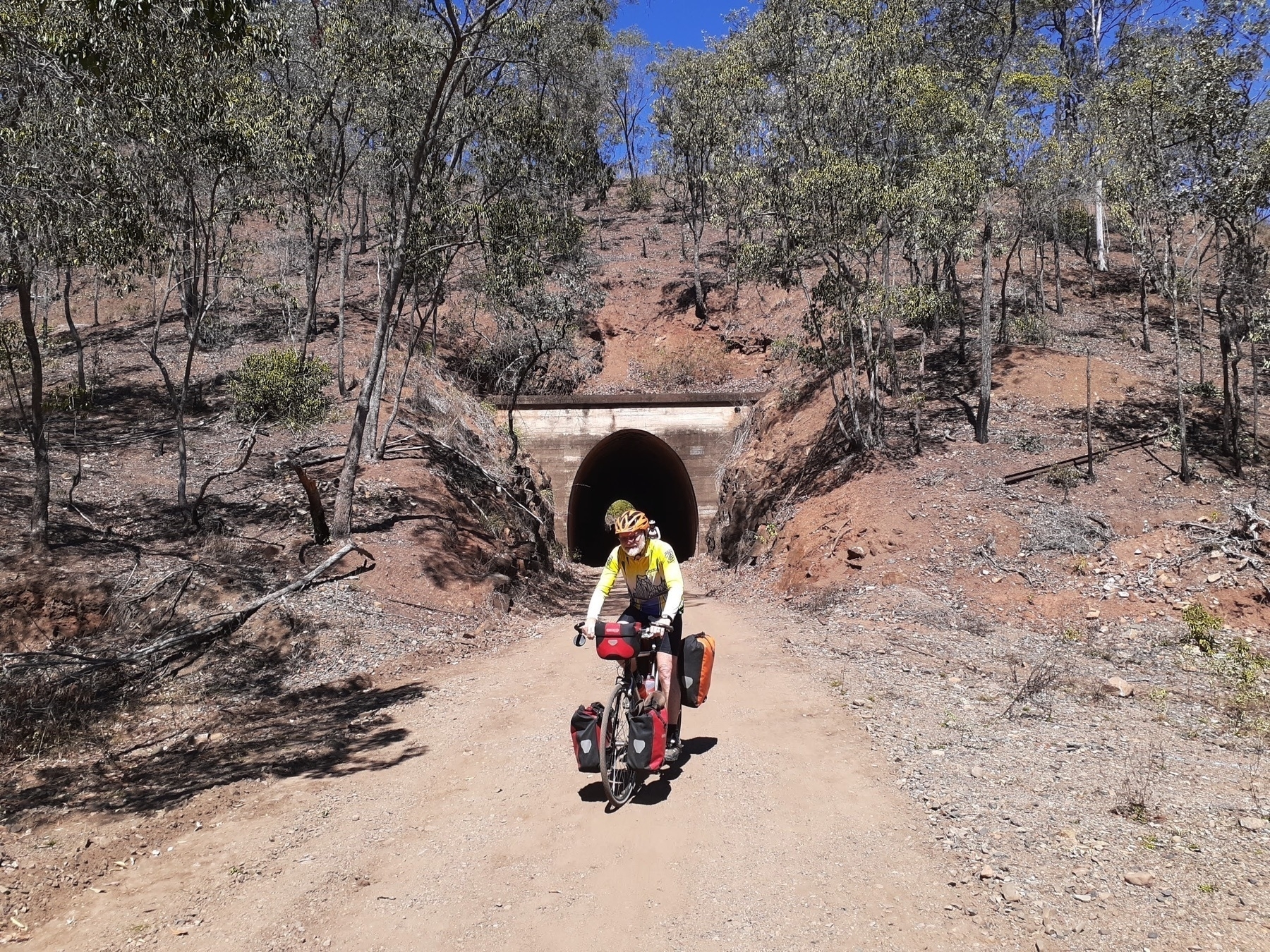
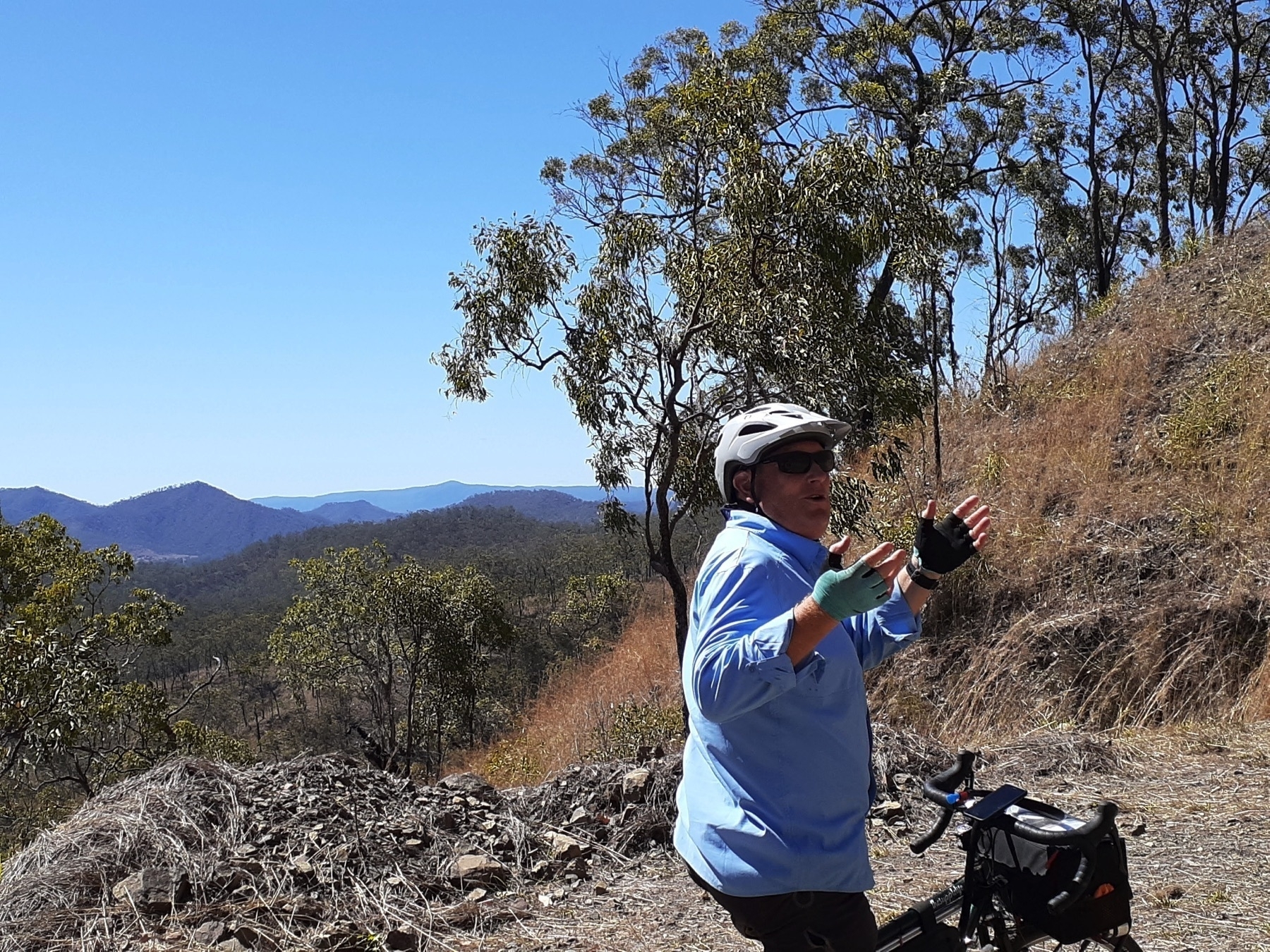
From Golembil, the trail continues along the valley towards Many Peaks (NOW WITH PUB!), and eventually Builyan, where there are toilets and Kirsten’s Cottage, which is sadly no longer open.

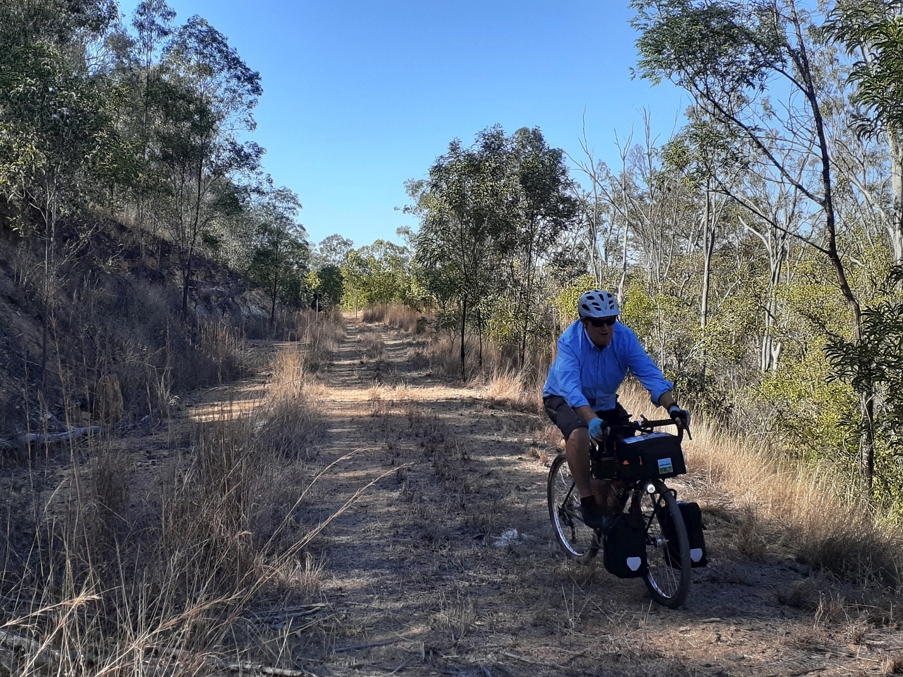
The trail along here has plenty of rough and sandy sections. Wide tyres are a must, and it certainly would have been easier without our touring load.
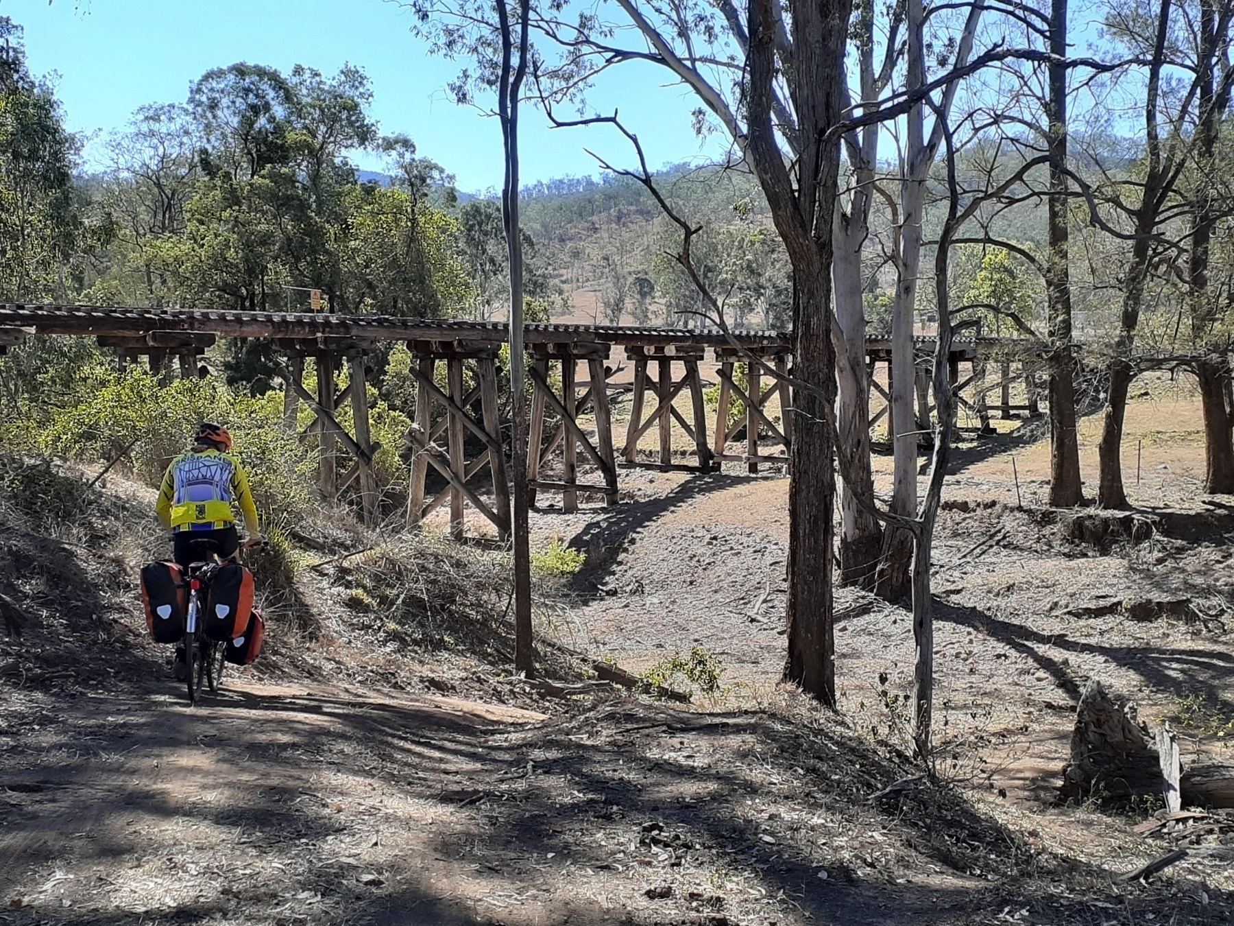
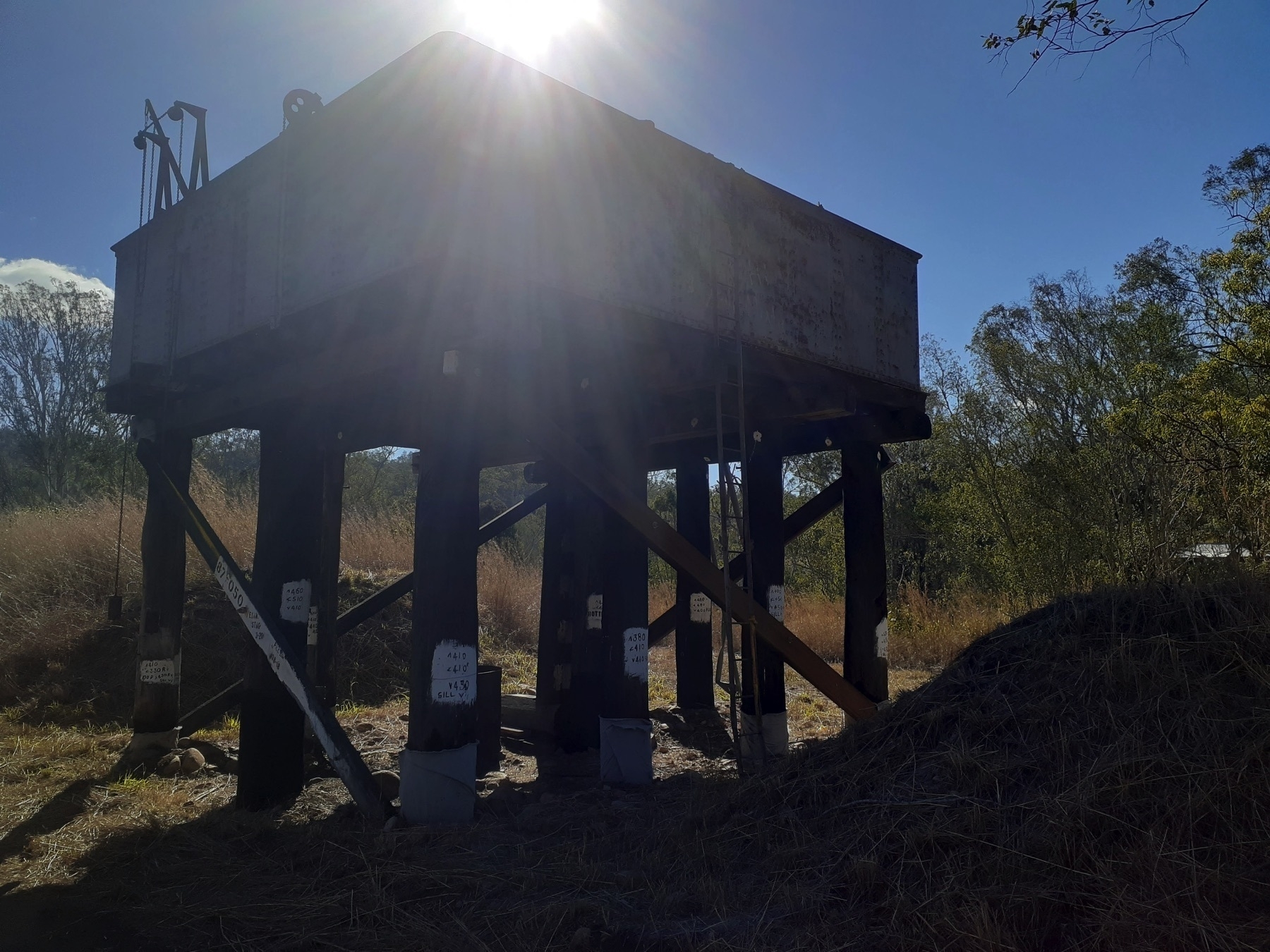
We had a late afternoon tea at Kirsten’s Cottage, which was most welcome. Caramel tart! After a week of bike riding you start to think you can eat whatever you like whenever you like. It’s not true.

We then had about 18km left along the Boyne Valley to Ubobo. And we asked some local folks at Kirsten’s whether there were any hills between Builyan and Ubobo (there were a couple of steep little surprises earlier in the day on the way to Kalpowar).

And the ladies said no, it was pretty flat. Although there would be a hill coming out of the creek crossing just near Larry’s place. So that was helpful, thanks.

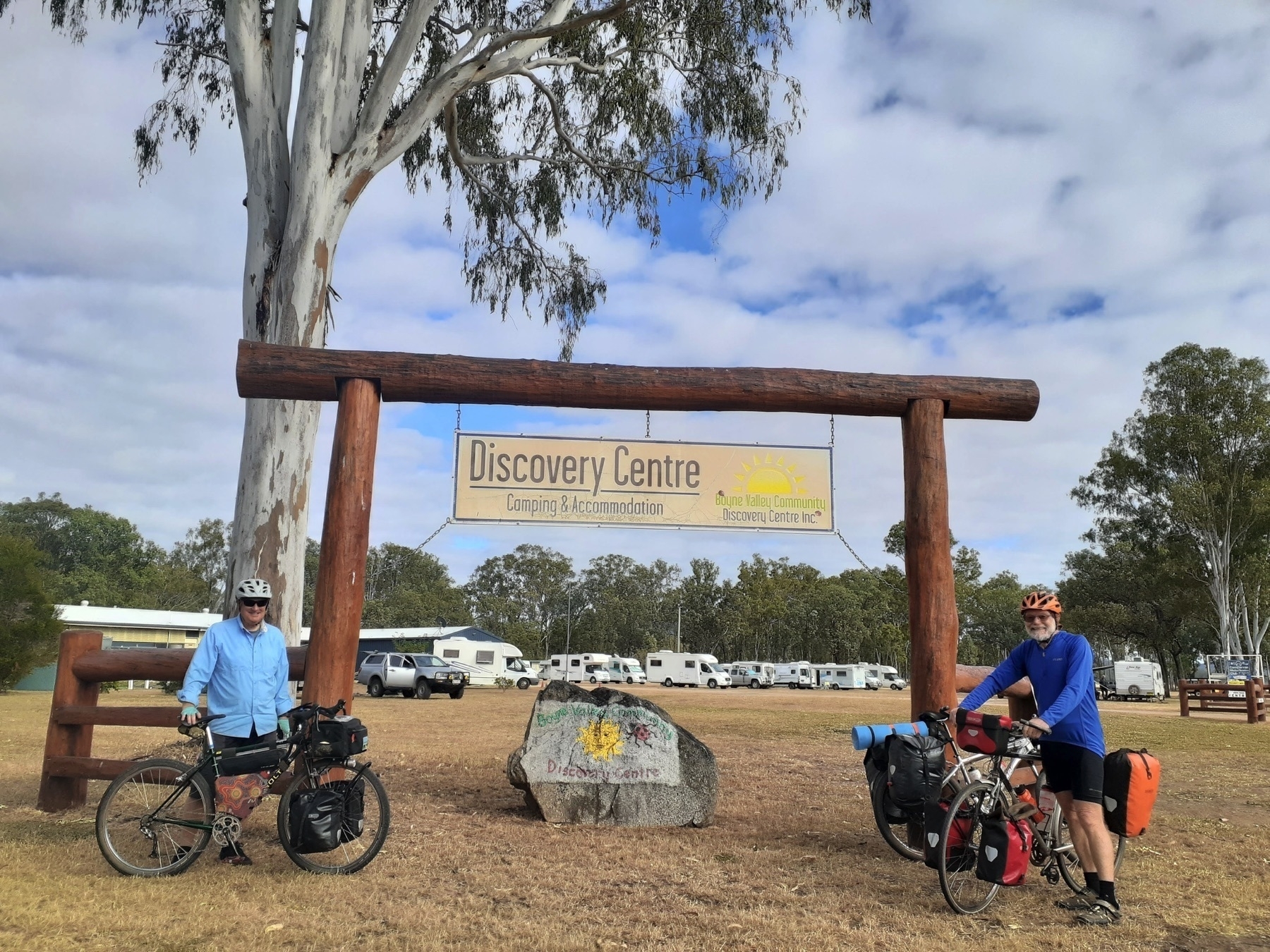
We rolled into the Boyne Valley Discovery Centre at Ubobo in the late afternoon. It is a great spot, and I won’t trouble you with all the details of camping options / cabins / showers / camp kitchen etc and so forth. It’s not just the only place to stay at Ubobo, it is also all you would ever need while in Ubobo. Except for Optus mobile phone coverage.
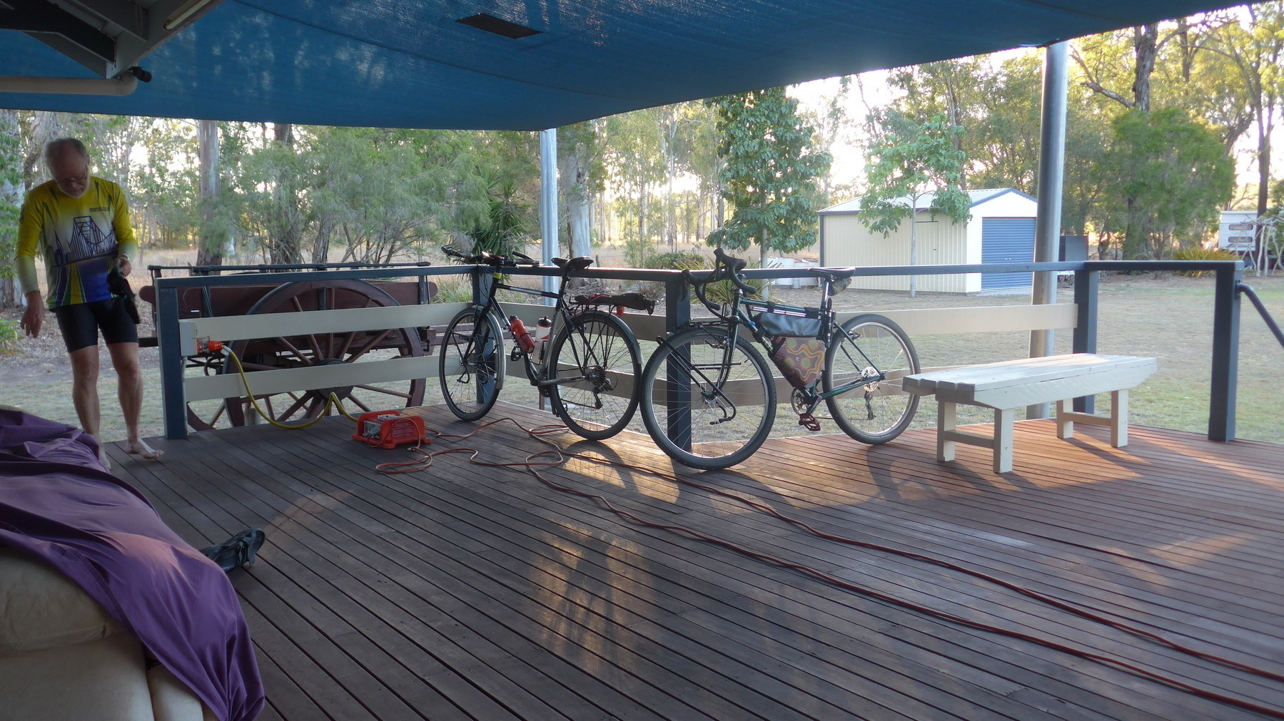
However I will say that if you happen to be there when there is a caravanning/RV club also in attendance, you might get a BBQ dinner (tick!), and breakfast on the next morning (big tick!), and the aural delights of a local country music band playing through the evening (if you really like country music, that might be a tick, but for me I would rather be required to remove a tick from a delicate part of my body than have to listen to what passed for music on this occasion).

Next: Day 9 Ubobo to Gladstone.

GQRTA Day 7 Eidsvold to Mungungo

Part 8 of 10

Previously: Day 6 Gayndah to Eidsvold

Next: Day 8 Mungungo to Ubobo

Links

We’re getting closer to the big day (the opening of the Barrimoon Tunnels section of the BBIRT). Today is the day before, and our little trio of touring bicyclists are starting to feel like we are part of something much bigger.

We had surprising encounters with locals when we stopped for refreshments. At Mulgildie, the man behind the counter at the shop had seen us out on the road, and knew we were riding to the rail trail event. At Mundubbera, a chance encounter at the takeaway cafe saw us chatting to someone who lives next to the rail alignment at Grosvenor Creek (south of Eidsvold), who wanted TMR to remediate the access to her property. At Eidsvold Caravan Park, it seemed everyone we spoke to had either seen us on the road, or knew where were going!

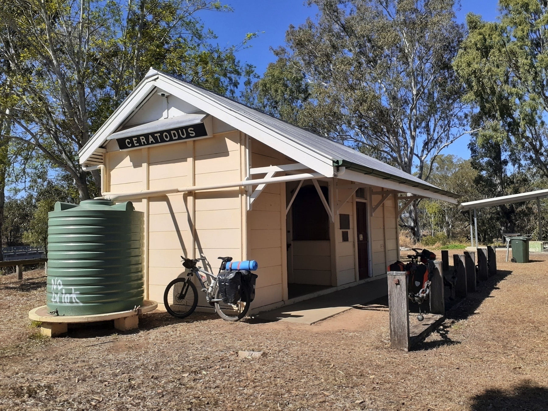
Our ride today saw us take a brief look at the rail trail alignment from Eidsvold heading north to Ceratodus siding. (Ceratodus is a lung fish which lives in the Burnett River, although Wikipedia tells me that botanically the Queensland lung fish is not actually a ceratodus cos they became extinct in the Eocene Epoch.)

Rob and I rode the trail alignment for a couple of km, and then jumped out onto the highway. Belinda on her Hookworm-tyred mtb stayed the course, and said the trail wasn’t too bad (thanks to the work of Michael Whitty, local trail carer).

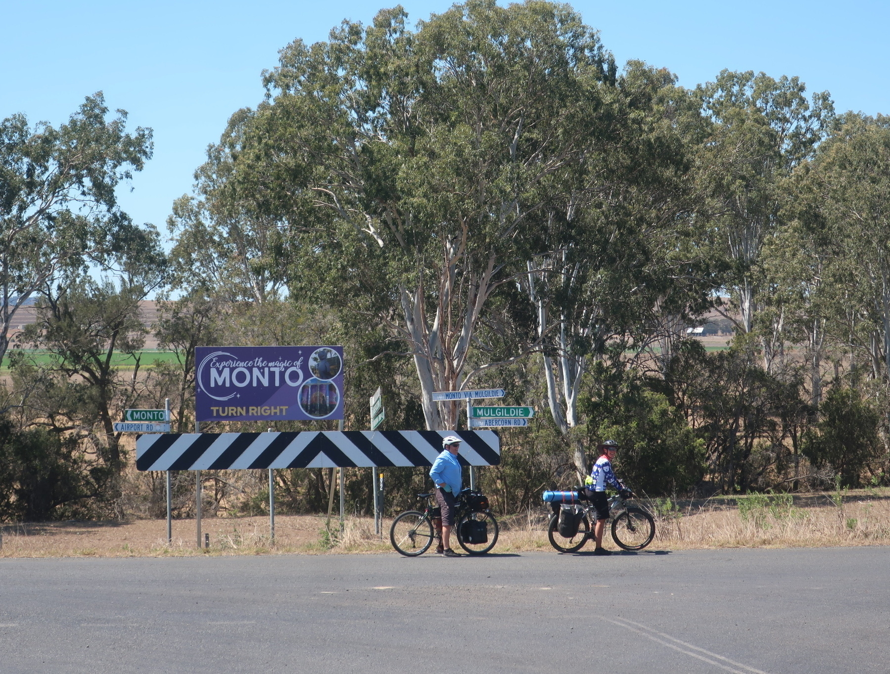
We turned off the Burnett Highway at the turnoff to Wuruma Dam, and then followed back roads to Abercorn and on towards a rest break at Mulgildie (53km). It was a warm day, and by the time we reached Monto (68km) via Airport Rd we were looking for a cafe with air-con and cold drinks.

At Monto we were recognised again, this time by TMR’s main man in charge of rail corridors, Craig England, who was there for the next day’s festivities.

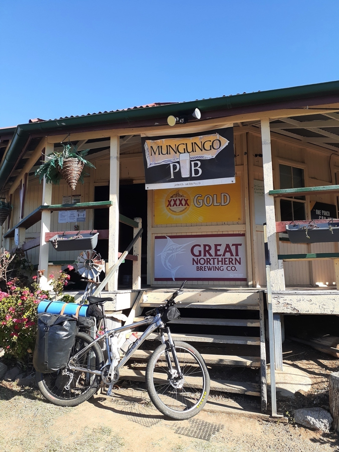
Eventually we rolled out for the last 13km to the Mungungo Hotel. Once more we were recognised. I saw a ute pass us, with a bike strapped onto the back. The bike had a Jones handlebar. I thought “I bet I know that rider … there won’t be many people bike-nerdy enough to have a Jones bar who I don’t know.”

And sure enough a few km later, there’s someone taking a photo of our trio from the side of the road, and it turns out to be Cliff, a friend from Brisbane who, like us, is into adventure/touring cycling.

Cliff said “I was watching your posts from the first few days of the ride, and just had massive FOMO, so I thought I would come up to Kalpowar for the opening event tomorrow.”

So after a day of being recognised, and feeling like we were part of something bigger than us, we rolled into the Mungungo pub.

When I was planning this trip, I had messaged the Mungungo pub via Facebook to ask if we could camp at the back of the pub, and named the date we would be there, in preparation for the opening of the rail trail the next day.

And the cheerful message came back: ‘For you Andrew, it’s a free room!’

So I said thanks very much, and considered myself some kind of very minor rail trail celebrity.

Of course, when we got to the Mungungo Hotel, the man behind the bar had never heard of me, and my name was not on the booking list for rooms, and the person who had answered my message on Facebook was no longer involved in running the hotel.

Hero to zero in two seconds flat. Hilarious!

For all of that, we did receive a warm welcome at the Mungungo pub, and spent a very pleasant evening there. In terms of other accommodation in the area, if you pressed on to Kalpowar there is both camping and lodge style accommodation there, and there’s a National Park camping area only a couple of km away from the trailhead at Barrimoon siding. But for this trip, Mungungo was the right distance for us, trying to keep the average day to around 80-90km.

Where to stay in Mungungo

Next: The big day dawns.

GQRTA Day 6 Gayndah to Eidsvold

Part 7 of 10

Previously Day 5 Proston to Gayndah

Next: Day 7 Eidsvold to Mungungo

Links

Distance 86 km

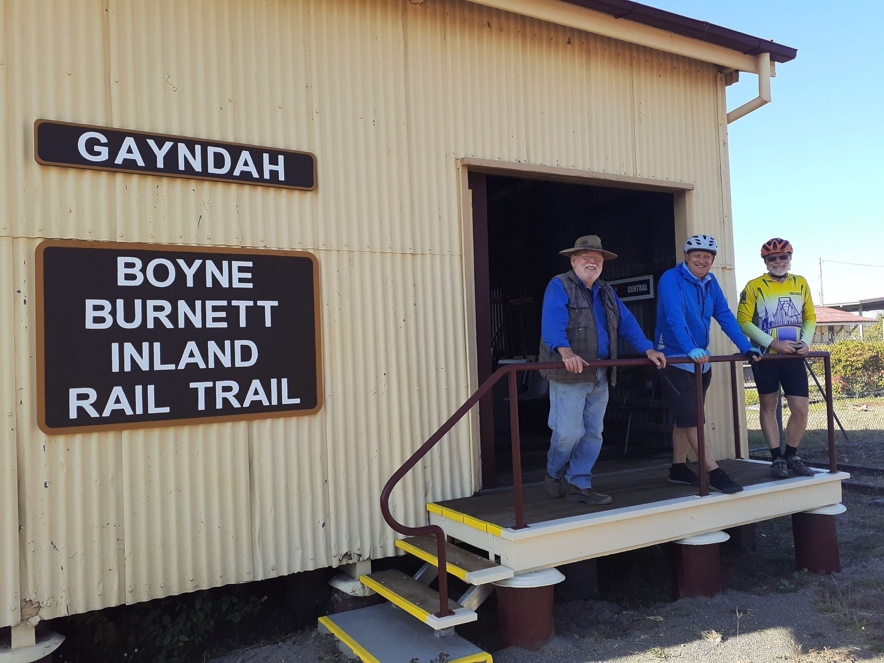
Gayndah to Eidsvold was our first day riding on the Boyne Burnett Inland Rail Trail.

The BBIRT is a fascinating mix of Queensland history and current day interpretations of that history.

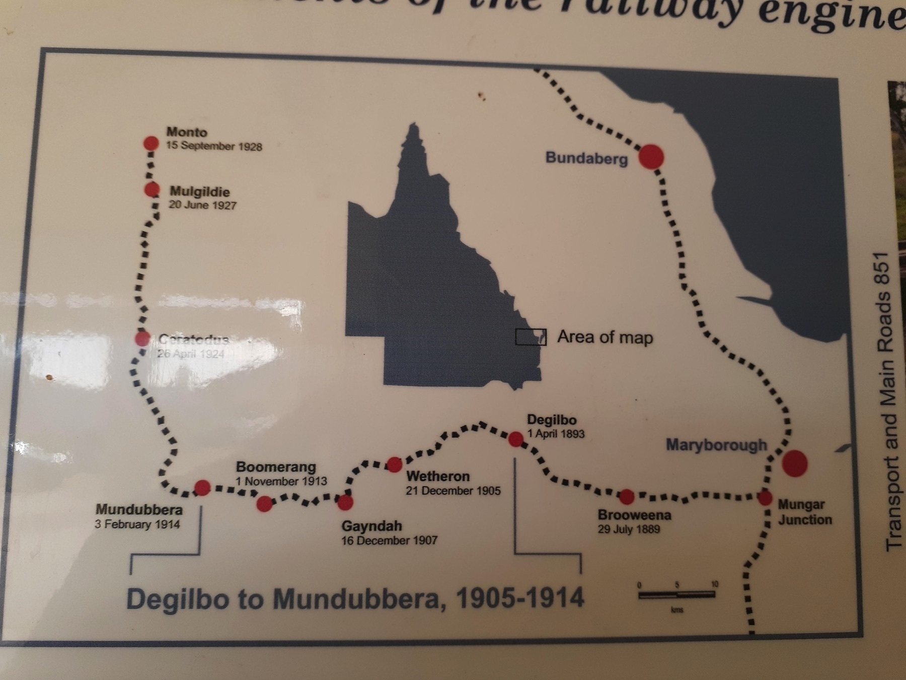
The Gayndah-Monto-Gladstone branch railway scribes a massive 270km arc away from the main coastal railway line through the North Burnett region. It left the main line at Mungar Junction, about 10km south of Maryborough, and rejoined at Byellee, just outside of Gladstone.
Queensland’s railways were mostly built in the 30 year period from 1890 to 1920. Having the railway come to your town was a vital engine of economic growth, and no doubt played a major role in the development of the South and North Burnett regions.

Branch lines all over Queensland declined in usefulness after World War II, and were all closed by about 2000, decades after they had become uncompetitive for both freight and passenger services.

When the railway finally closes, there are often three big ideas about what should happen to the line.
The first is that the line should be preserved just in case there is a need to reopen it to service some mine or other. Or maybe a sugar mill!?

The second is that our branch line would be perfect for a historic railway – a certainty to be a tourist drawcard!

The third idea is turning the rail corridor into a trail for walkers, bike riders and horse riders.

In my view this third option is the only sensible route forward for most disused railway lines. But the pity is that it takes at least 20 years for communities to come to that point of view. In that time many elements of the line can be lost. Bridges get washed away in flood events, maintenance stops and timber bridges especially deteriorate, the line gets leased out to private interests, etc etc.

The Gayndah to Mundubbera section of the BBIRT faces all those challenges.

No trains since the turn of the century means no maintenance for the many bridges.

The line from Mungar to Gayndah has been leased to Isis Sugar, so there’s no prospect of the rail trail back towards Biggenden. The floods over the last 10 years damaged the Reid Creek bridge (the first one out of Gayndah towards Mundubbera) and the Burnett River bridge between Wetheron and Gayndah (also in the off-limits Isis-leased section).

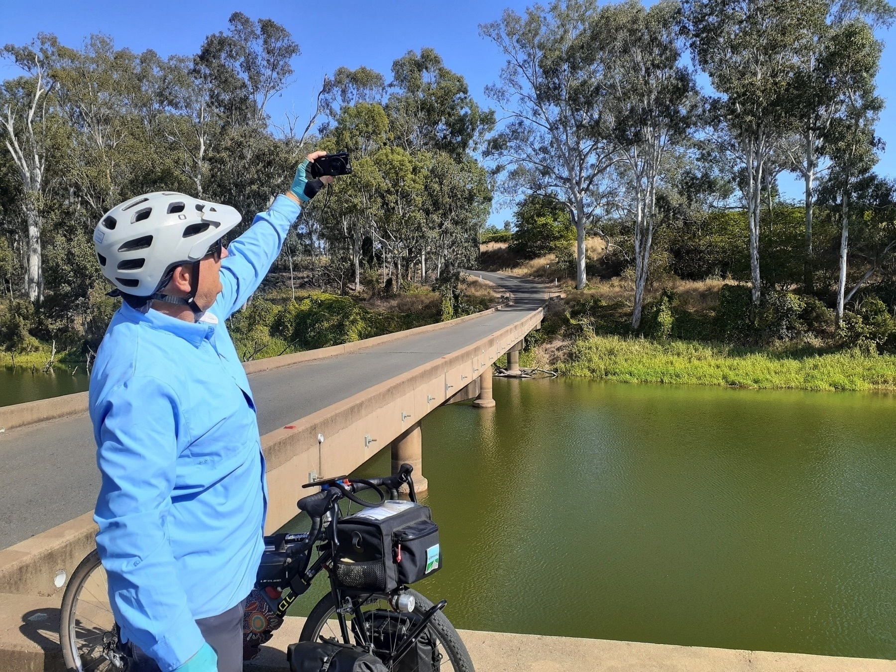
Into this context comes our hero Mike Goebel, and his small team working on the Mt Debateable to Humphrey section of the BBIRT. With Reids Creek bridge washed away, the most reasonable way to access the trail is by riding out on the Gayndah-Mundubbera Road, and turning off at Mt Debateable Rd to cross the Burnett River.

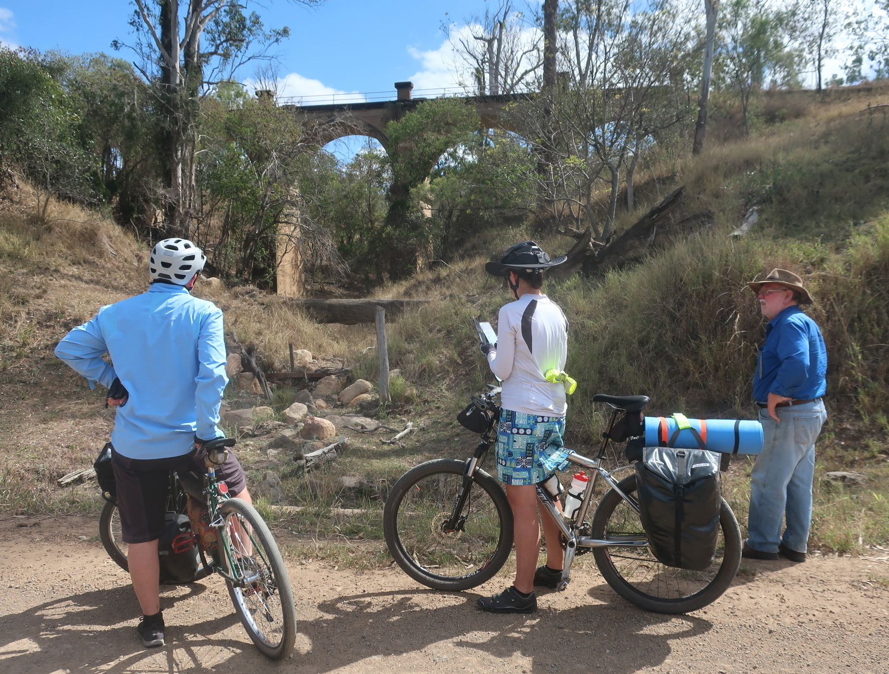
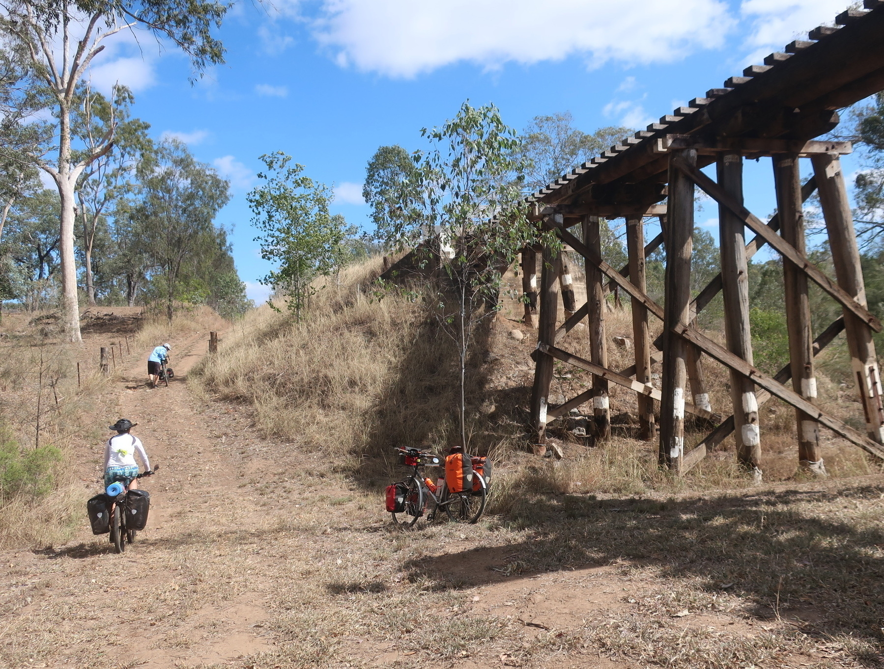
From there we could access the rail trail at Mt Debateable siding, and follow on the trail as far as the Humphrey siding. Then its Boomerang Rd alongside the Burnett River, looking up the gullies at the wondrous bridges (4,5,6,7) that are such a feature of this section. Read more on the history of these bridges here.
For me one very cool aspect of the bridges is their variation. There are concrete arches, and steel lattice trusses, and even one called the “upside down” bridge.
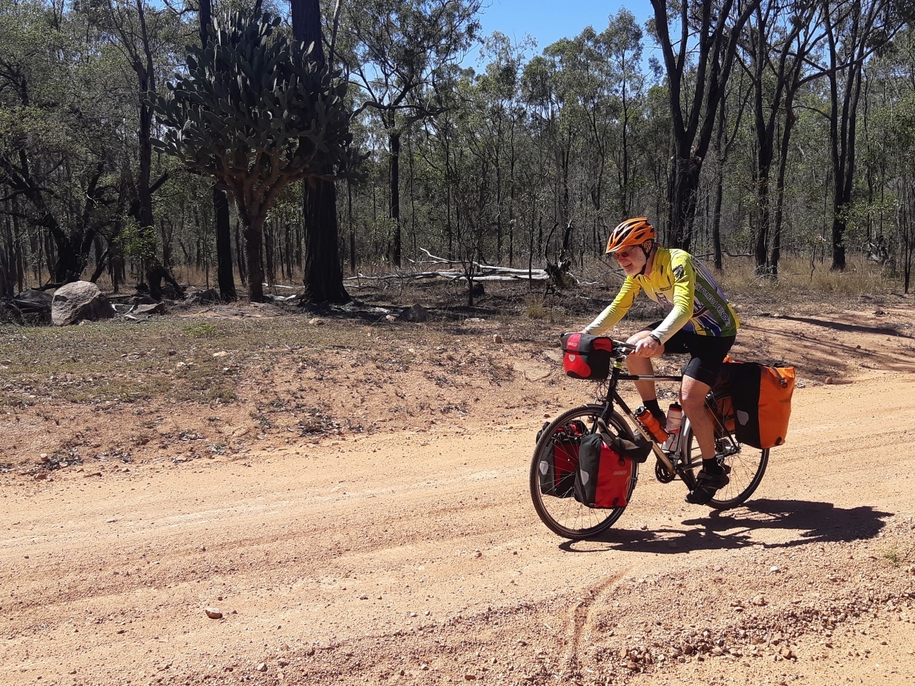
The surface of the trail throughout these sections is what we might call “unimproved”. Some sections are a little bit rocky, some have substantial patches of sand that rob you of your momentum.

By the time we made it to Mundubbera for lunch (Mike arranged for us to meet the councillor for that town as well) it was well past 2pm and our average speed for the day was under 10km/h. With the temperatures above 30 deg C and some uncertainty about our route for the next stage, we just rode the Burnett Highway to Eidsvold. The traffic was not a problem and our group (by now a trio as Brett had decided to return home after the ride into Gayndah) rolled into town with about 45 minutes of daylight to spare.

We stayed at the Eidsvold Caravan Park. As the BBIRT has not officially come to Eidsvold yet, I get the feeling that touring bike riders are not as common as on the BVRT or KKRT.

The Corner Motel Cafe is the best spot for dinner in Eidsvold. It might also be the only spot as the pub wasn’t serving evening meals when we were there.

The Corner cafe was so good we came back for breakfast the next day!

Where to stay in Eidsvold:

Next: Day 7 Eidsvold to Mungungo.

GQRTA Day 5 Proston to Gayndah

Part 6 of 10

Previous: Day 4 Kingaroy to Proston

Next Day 6 Gayndah to Eidsvold

Links

Distance 75.9

If Day 5 was transitional from rail trails into the unknown, Day 6 is totally off-piste.

When the idea for the Great Queensland Rail Trail Adventure started forming in my head around June 2020, the biggest question was: “What is the best route to link the KKRT and the BBIRT?”

I asked Mike Goebel (the co-ordinator for the Gayndah to Mundubbera section of BBIRT) what he thought. I had a look at maps. I wondered if the spur line from Murgon to Hivesville and Proston would ever become a rail trail (at present this seems only a distant possibility). Some further investigation made it clear to me that Proston was a much better overnight prospect than Hivesville. This was borne out in real life.

But the big unknown was the ride from Proston to Gayndah. 76 km, most of it on dirt road, with no towns, no services, no toilets, not water, not even a picnic shelter on the side of the road.

I was concerned enough about the Proston to Gayndah ride that I found a way of carrying 4 litres of water on my bike. Even in September you can get very hot days anywhere in Queensland. I had a bad experience once running out of water while bikepacking from Imbil to Jimna on a sweltering day in mid-October. Not keen to repeat that experience.

So today’s ride was a little leap into the unknown. But fortunately we also had a local to ride with us. Peter, a BQ member who lives on a property just out of Gayndah, arranged for a friend to drop him off in Proston so he could ride with us.

We stocked up at the Proston IGA with food and water and set off.

The ride started with a testing 3km climb on the bitumen road back towards Hivesville. We turned onto Proston-Abbeywood Rd which (nice surprise) was sealed for another 7km.

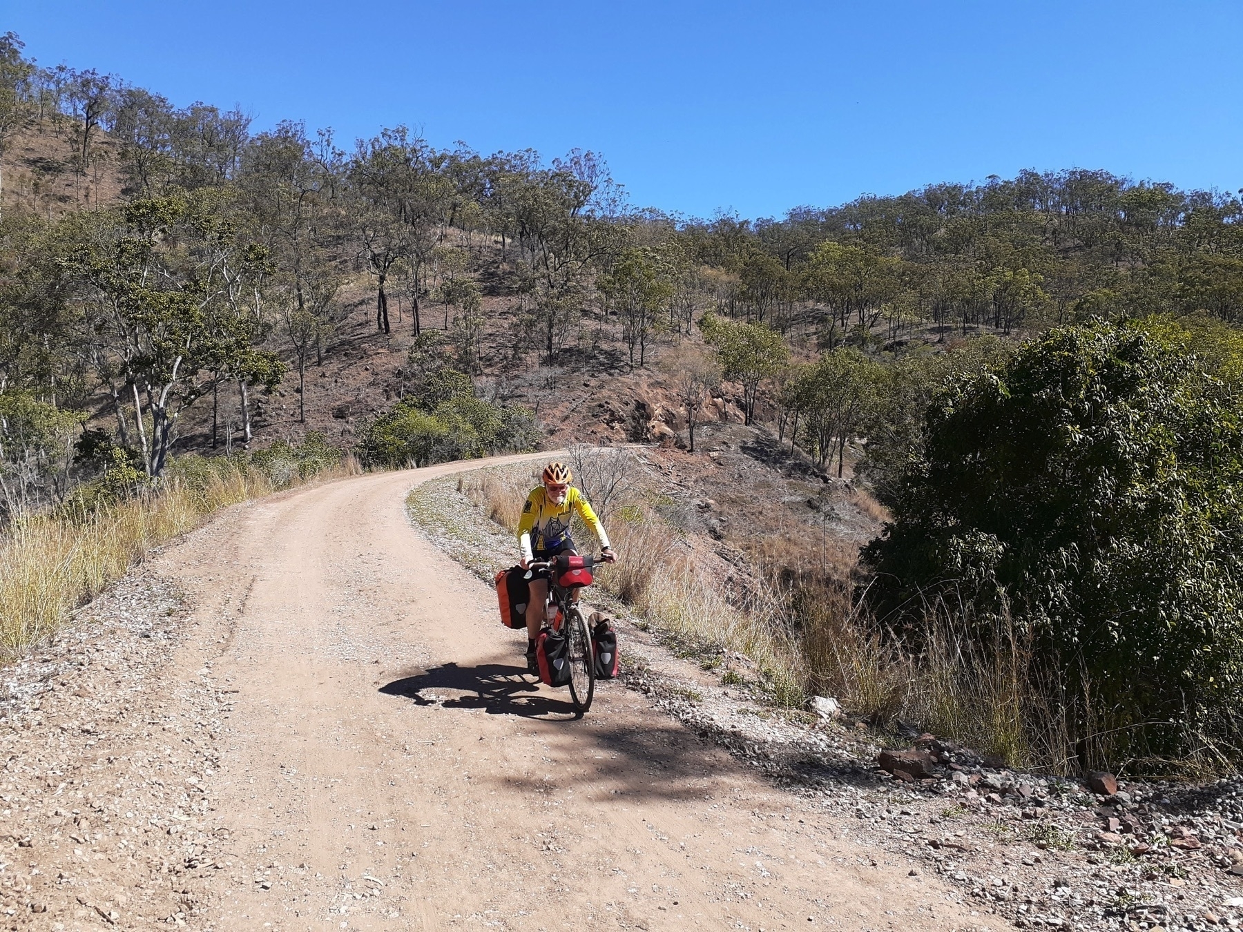
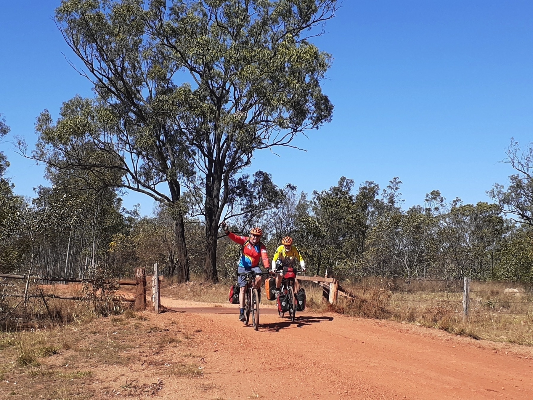
And although after that the surface was back to gravel, it was a well maintained dirt road. And gravity was in our favour. The climb out of Proston had taken us to 500 m above sea level, and we were aiming for Gayndah, 110 metres above sea level. So more down than up is always a good day, provided there aren’t too many lumps and bumps along the way.

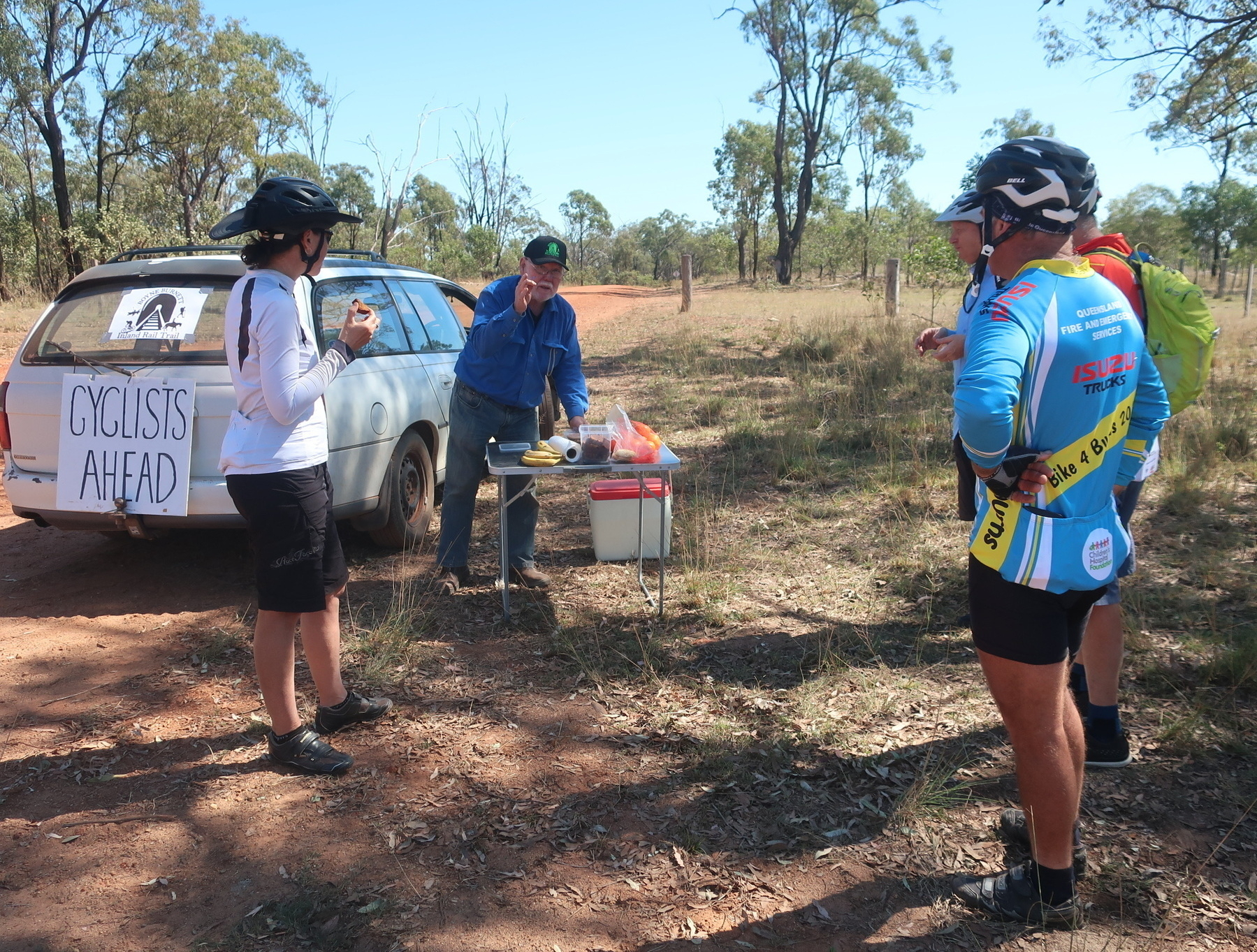
We rolled along merrily until our next nice surprise: the appearance of Mike Goebel, our Gayndah contact, in his rail-trail-supporting station wagon. Mike always comes bearing the local produce, so it was mandarins for morning tea.

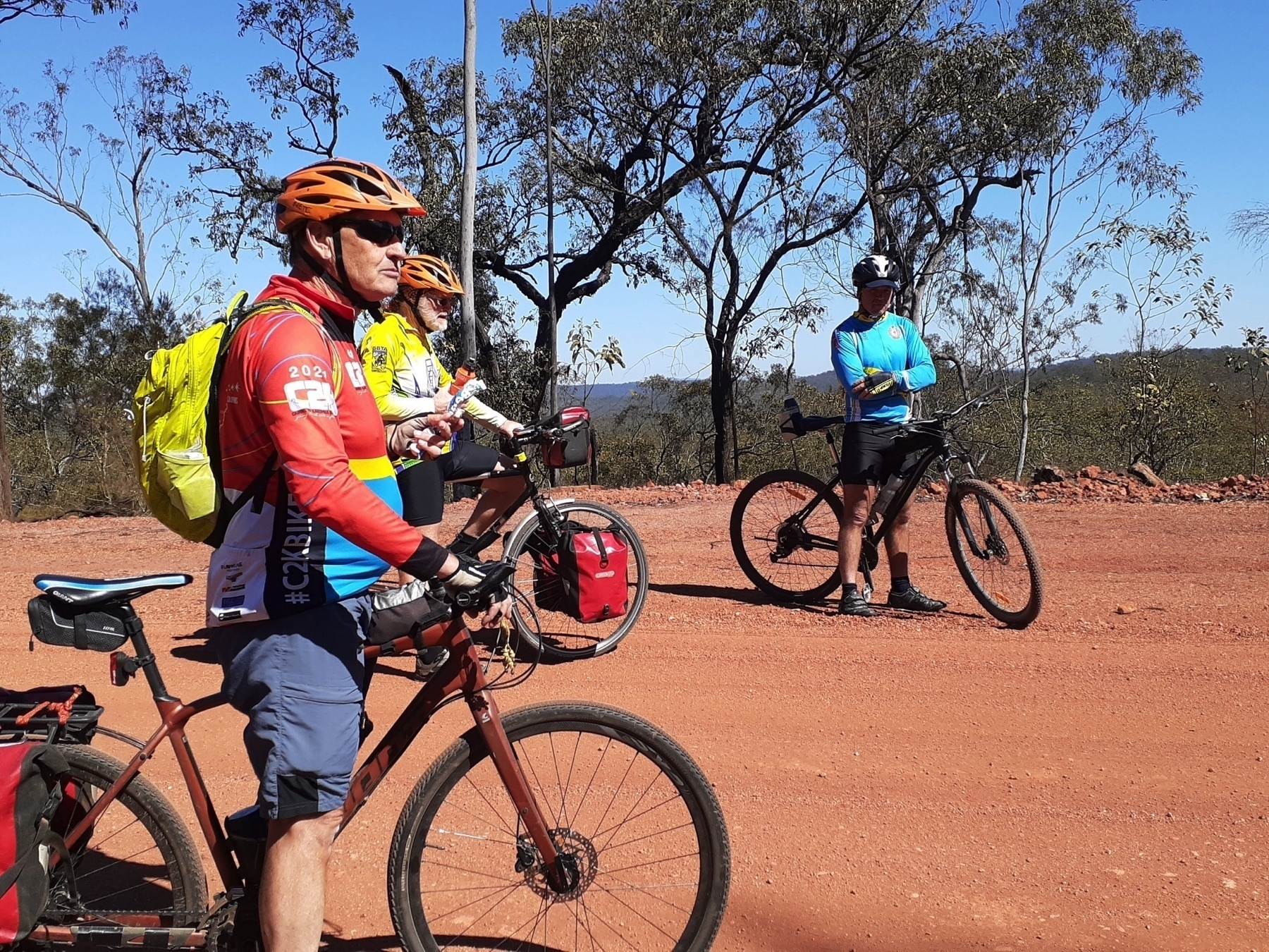
We stopped at creekside locations for food and rest breaks, but really this day had no major dramas. It’s not a very easy day on the bike, because 50 km of unpaved road is never that easy. But it was no harder than other days on this route, and scenic in forestry and cattle grazing kind of way.

There are a couple of gradual climbs on the way into Gayndah, which we negotiated by steady pedalling, and we arrived in the early afternoon.

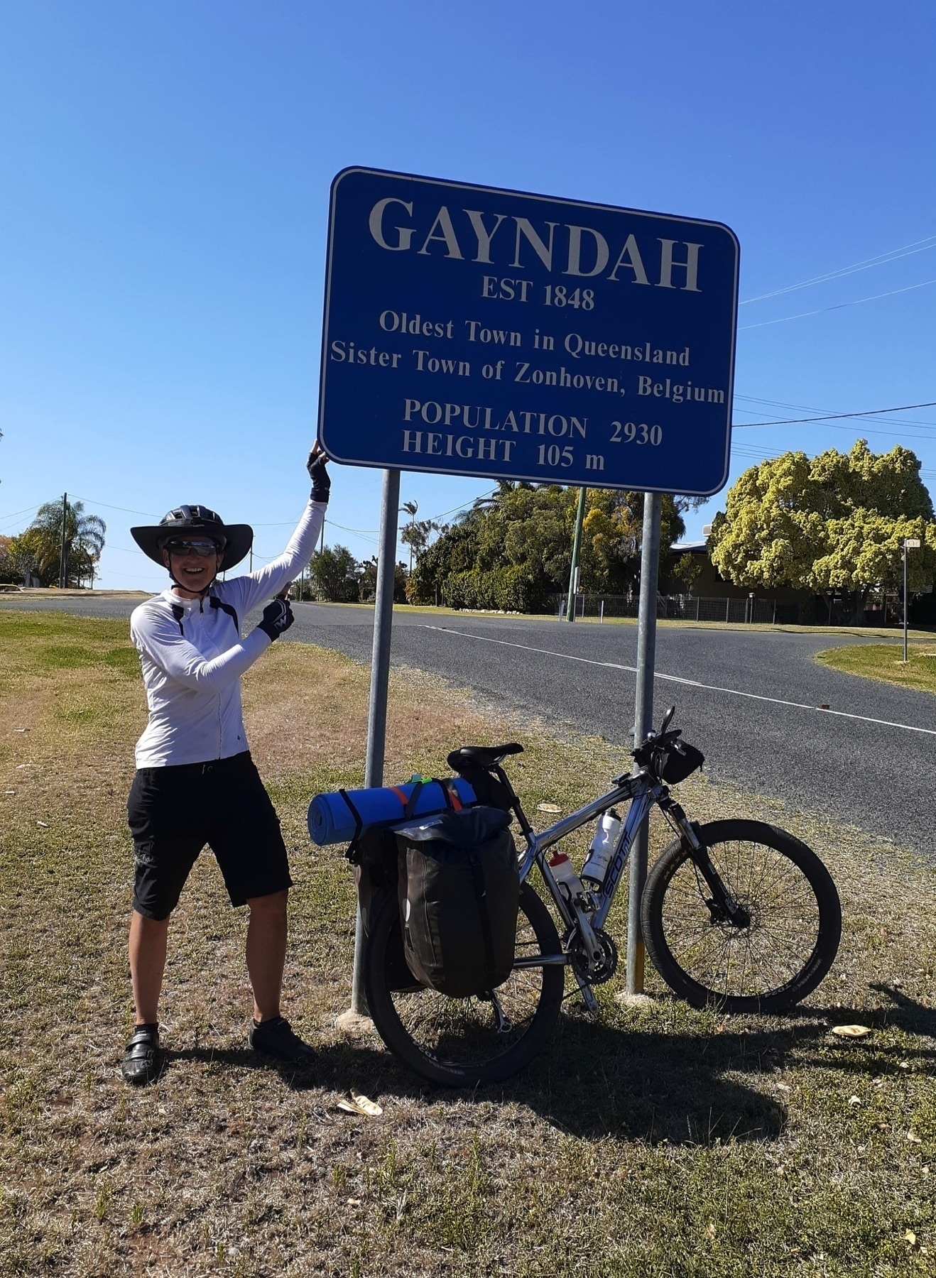
There are pubs and motels and caravan parks in Gayndah, but Mike Goebel is a very hospitable man, and most of our group accepted his offer of camping at ‘Cafe Michel’ (his house).

Mike’s connections with the Gayndah community also came for the fore, as the Councillor for Gayndah division of the North Burnett Regional Council appeared at Mike’s place to whisk us away for a quick tour of the sights.

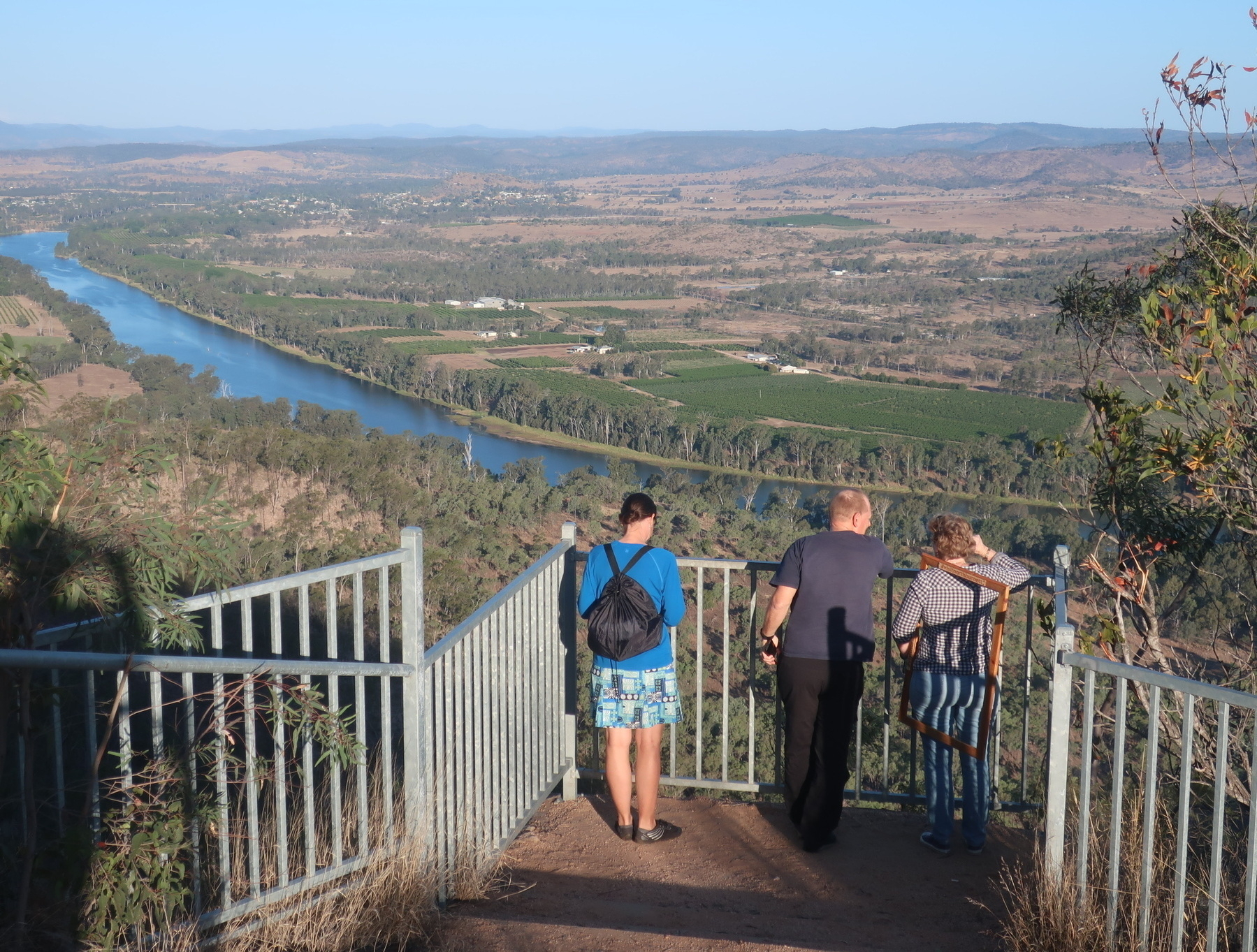
The most impressive of these is the view over the Burnett River from the top of Mt Gayndah. I would not want to ride my bike up the access road to that lookout, but the view is awesome. Probably the best way for bike tourists to see this is to ingratiate yourself with Cr Dael Giddins, who is a lovely outgoing person who is always keen to show off the town.

Where to stay in Gayndah

There is another caravan park, and three pubs. None of them have websites, which makes me think they’re not that interested in having people stay. Brett from our group stayed at the Riverview Caravan Park and said it was OK.

Next: Day 6 Gayndah to Eidsvold

GQRTA Day 4 Kingaroy to Proston

Part 5 of 10

Previously: Day 3 Yarraman to Kingaroy

Next: Day 5 Proston to Gayndah

Links

Distance 72.4 km.

Today’s ride in the Great Queensland Rail Trail Adventure is a transitional day and it is very much in two parts.

The first part is the last section of “completed” rail trail on this trip, riding the South Burnett section of the Kilkivan to Kingaroy Rail Trail.

The KKRT itself is a tale in two parts, but for the purposes of this route, we will only touch on the southern section, which is that rarest of creatures, a sealed bitumen rail trail. Truly the Northern Hairy-Nosed Wombat of rail trails in Queensland. We rode from Kingaroy to Wondai all on the tar, and it continues as far as Murgon, another 13km away. Check out Gillian and Mark’s book for all the gory details on the KKRT.

Kingaroy is 425 metres above sea level and Wondai is 310 metres. So the combination of rail trail gradients (gentle), bitumen (pretty darn smooth, especially for those of us on 48 mm tyres), and losing 115 metres of elevation all made for a pretty easy ride.

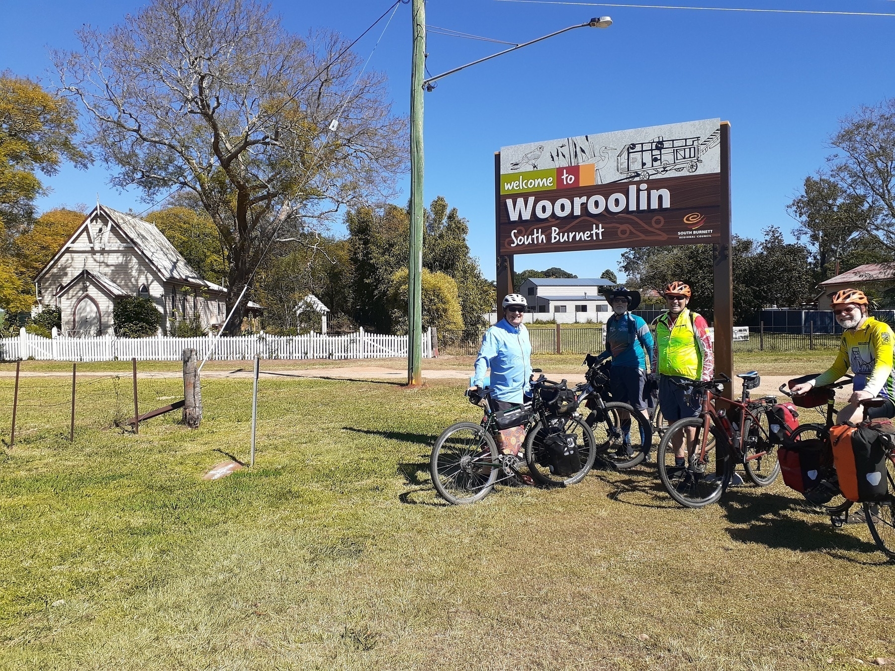
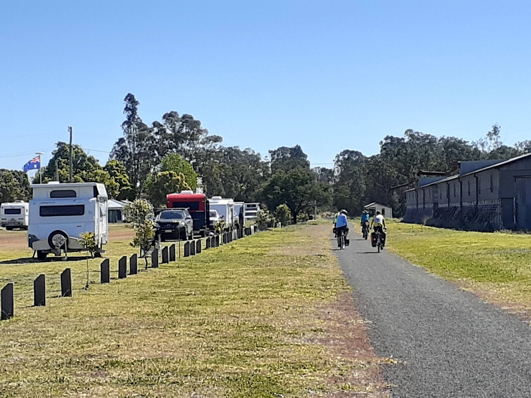
We climbed gently as we left Kingaroy, up to Crawford, Memerambi, and the highest point of today’s ride at Wooroolin. There’s a free campsite on the trail at Wooroolin, and another down at Wondai.

At Wooroolin there’s a Grand Hotel, and a cafe which was once a butcher’s shop. I’ve eaten at the Butcher’s Cafe before and it was very passable.

This time we just took a couple of photos at the old station, and kept on rolling. Wondai was our destination for early lunch, and this time it was also our moment to farewell Ian, who was returning to Brisbane for family reasons.

So after some delicious rice paper rolls at the Wondai Bakery, we left the rail trail behind and launched into the unknown.

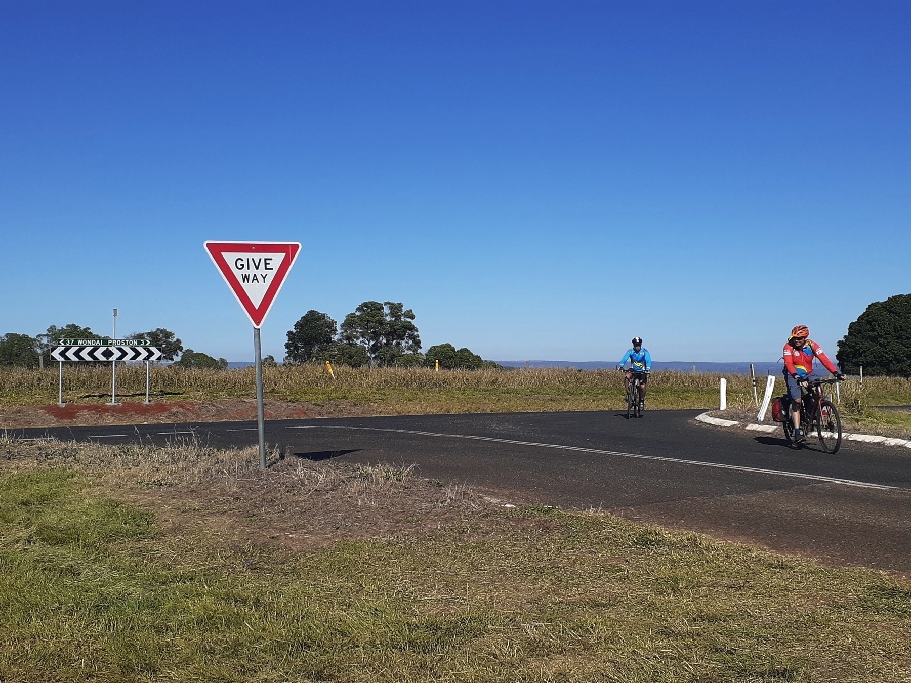
Our route from Wondai to Proston followed back roads with a mixture of sealed and good gravel for 16km until we popped out on Wondai-Proston Rd, which isn’t any sort of highway, but is the road which trucks visiting Hivesville and Proston would use.

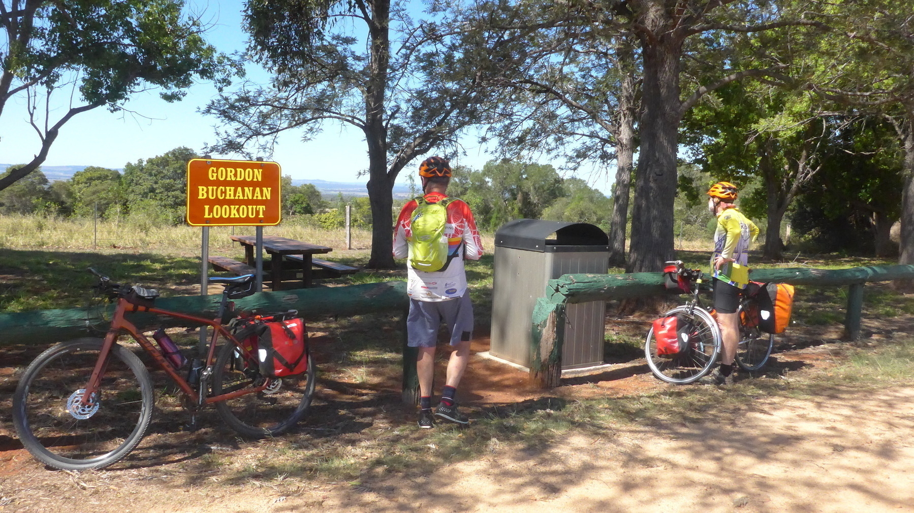
The traffic wasn’t a problem to us. The hills, maybe a little bit more. One long climb got us to Gordon Buchanan Lookout, which would not make my list of top 100 lookouts visited. But it was a pleasant place to stop and regroup.

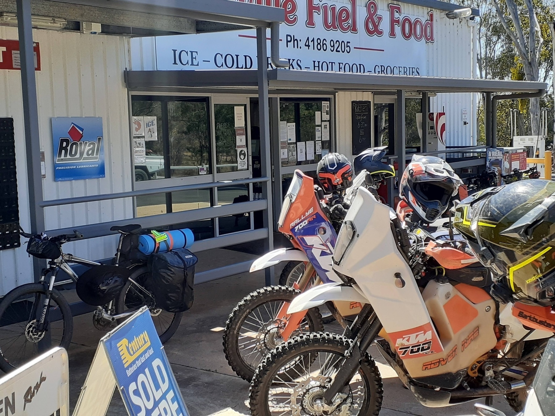
It was a warm afternoon as our quartet rolled into Hivesville, where the servo is new and well-stocked. Belinda was threatening to buy a whole box of ice blocks.

As we consumed our refreshments, a group of off-road touring motor-bikers (KTMs and the like) rolled in for refuelling. They were heading towards Mount Perry, apparently that’s a good place to go on your motorcycle. (It used to host a wonderful mountain bike race about 10-12 years ago, but that’s another story altogether).

From Hivesville to Proston is only 11km, but it is hill country, and every road is lumpy. Our route took us off the bitumen at Kinleymore, and along Middle Road, which climbed for 4km. Just what we wanted in the hottest part of the day.

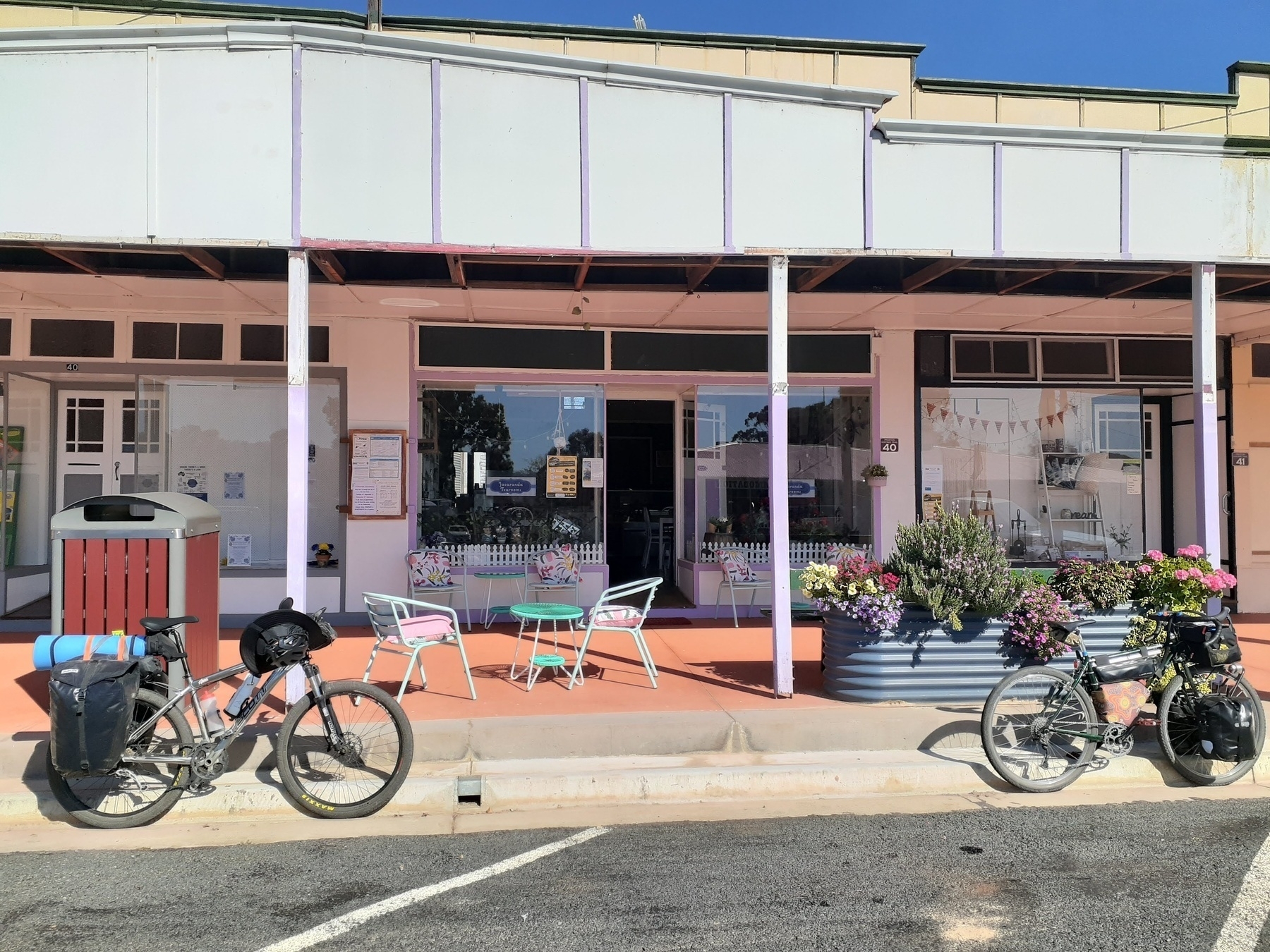
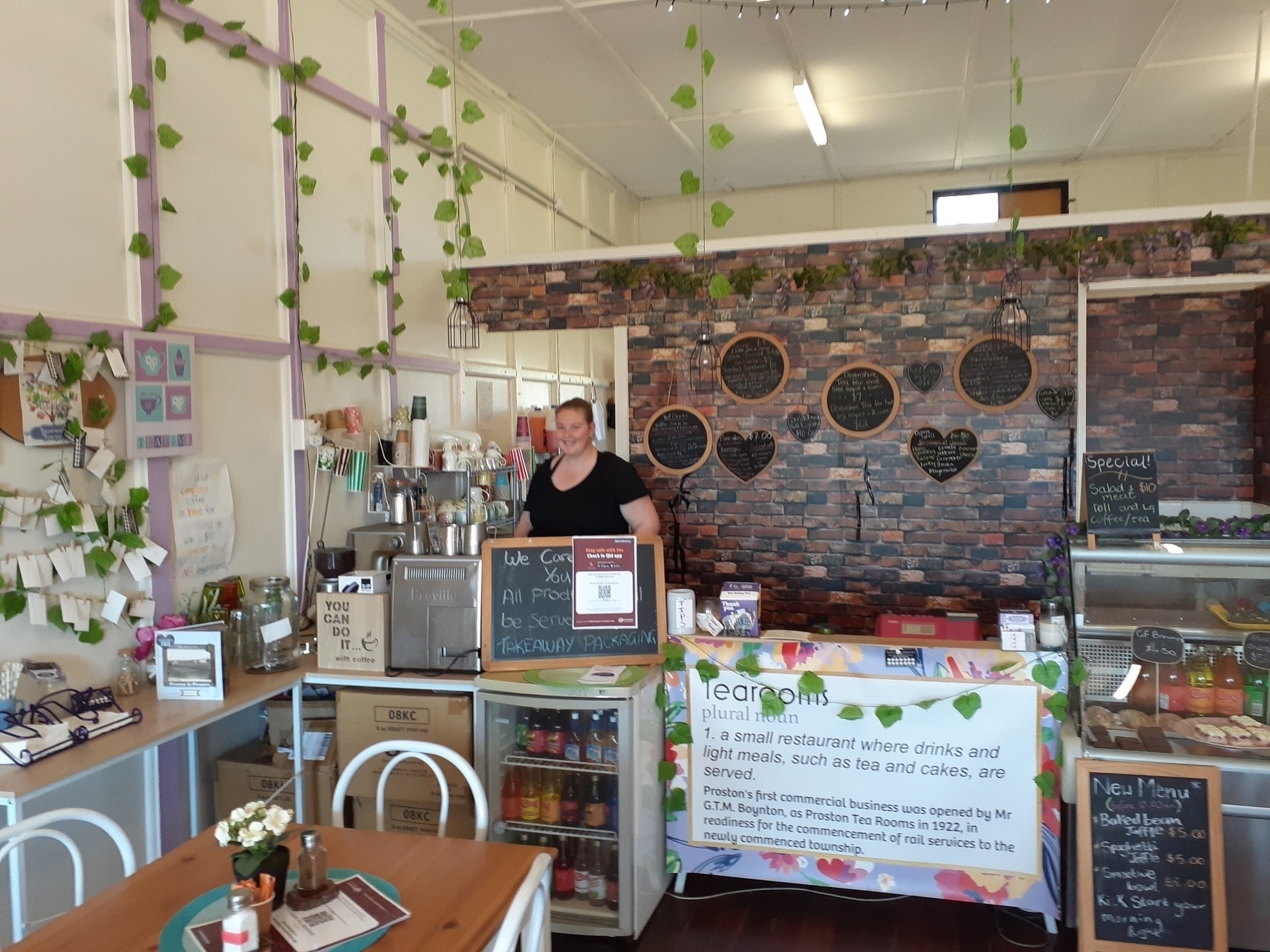
However, I have to say that it was all worth it when we arrived in Proston. We were charmed by the vibe of the main street, with the Golden Spurs pub and the Jacaranda Tearooms, and the Proston public library.

We were fortunate to be there on a week day, so after booking in at the pub and getting cleaned up, we wandered over to the tearooms for coffee and cake, and then visited the library for a dose of local history.

The main street of Proston has had an injection of community spirit from the local councillor for South Burnett, Kathy Duff. It is a fantastic story of a town which is surely struggling through drought and the rural downturn, yet seems full of resilient people who just keep on showing up.

As I was glancing through a self-published history of Proston, I did spy a picture of a much younger Kathy Duff, with 1980s big hair and puffy sleeves, representing the district in some sort of talent quest. It was a different time.

The other highlight of our time in Proston was dinner at the Golden Spurs Hotel.

Possibly against our better judgment, Brett and I both ordered the Pad Thai. Because I love pad thai, and who is to say that pad thai in Brisbane is better or more authentic or more whatever than pad thai from a pub in rural Queensland.

It was the best pad thai I have ever had. That is not an exaggeration. Silky noodles, crunchy bean sprouts, large perfectly cooked prawns, much chicken and tofu and lemony garlicky flavours with the requisite sprinkle of crushed roasted peanuts. Our dining companions – Rob especially – were salivating with envy.

Places to stay in Proston:

Next: GQRTA Day 5 Proston to Gayndah.